
Compositional Learning for Robot Autonomy via Modularity and Abstraction
Explore compositional learning for robot autonomy through modularity and abstraction. Discover neuro-symbolic planners for long-horizon manipulation tasks and state-action abstractions from raw signals.

Building Blocks of Generalizable Autonomy
Explore key aspects of generalizable autonomy in robotics, including representational biases, causal inference, and interactive policy learning under uncertainty for efficient and adaptable AI systems.

State-of-the-Art AI-Driven Solar PV Generation Forecasts - Data Learning
Explore cutting-edge AI techniques for forecasting solar PV generation, presented by Jacob Bieker from Open Climate Fix. Gain insights into innovative approaches in renewable energy prediction.
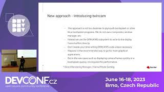
Quick Booting a Software Defined Rear View Camera
Explore optimized software-defined techniques for quick-booting rear-view cameras using libcamera and open-source frameworks, with demos and early boot service tips.

Anchore Engine: DevSecOps Tool for Inspection, Analysis, and Certification of Infrastructure
Explore Anchore Engine for inspecting, analyzing, and certifying infrastructure, enhancing security in application development and QA processes.
Blasting Past WebP - Exploring Image Format Vulnerabilities
Explore advanced techniques for bypassing WebP image format security measures, uncovering vulnerabilities and potential exploits in web applications.
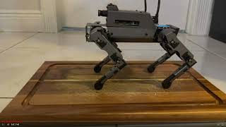
Interacting with AI Robots: Face Tracking, QR Code Recognition, and Security - Demo 2023
Explore AI robotics basics, face tracking, QR code recognition, and robot security vulnerabilities through live demonstrations and practical examples.
LLaRA: Supercharging Robot Learning Data for Vision-Language Policy
Enhance robotic decision-making using LLMs and VLMs. Learn to formulate actions as conversation pairs and incorporate auxiliary data for improved performance in simulated and real-world tasks.
Adding AI to Your ESP32 - Machine Learning and Object Detection
Explore machine learning on ESP32: object detection, image recognition, keyword spotting, time series data, and LLMs. Learn to implement AI using EdgeImpulse and Google TensorFlow Lite for Microcontrollers.
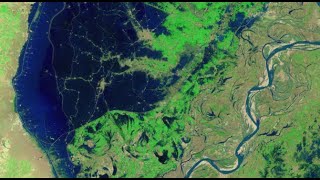
Mapping the 2022 Indus Valley Flood Using ProRaster Scientific - Pakistan
Map the 2022 Indus Valley Flood using ProRaster Scientific. Learn to process satellite imagery, create custom water indices, and integrate multi-temporal data for comprehensive flood extent analysis.
NDVI Analysis and Biomass Proxy Calculation for Coorabulka Station Using ProRaster Scientific
Perform real-time vegetation change analysis using ProRaster Scientific 2.2.03. Process Landsat imagery, compute NDVI, transform data, and visualize results for Coorabulka Station over 10 years.
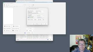
Create Product Sequence Wizard in ProRaster Scientific 2.2 - Tutorial
Turbocharge productivity with the new "Create Product Sequence" wizard in ProRaster Scientific 2.2. Easily create and edit multispectral satellite imagery product sequences, eliminating time-consuming individual product creation.
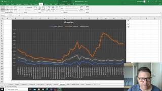
NDVI Analysis for Vegetation Change at Coorabulka Station - Part 6
Analyze temporal vegetation statistics using Excel, interpret graphs, and create a biomass proxy measure for Coorabulka Station's carrying capacity assessment.
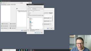
NDVI Analysis and Product Processing in ProRaster Scientific - Part 4
Aprenda a construir cascatas de processamento de produtos para calcular NDVI, recortar polígonos e computar estatísticas temporais usando ProRaster Scientific para análise de vegetação.
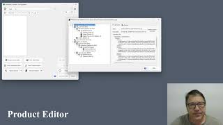
The Multispectral Product Editor in ProRaster Scientific - Tutorial
Explore virtual processing cascades for multispectral satellite imagery using ProRaster Scientific's product editor. Master operations, execution control, and advanced features for efficient data analysis.
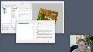
Wooroloo Fire Scar Analysis Using ProRaster Scientific
Analyze Wooroloo fire scar using Landsat data, ProRaster Scientific software, and advanced geospatial techniques. Learn to create scene sequences, compute indices, and generate statistics.
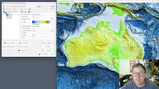
GEBCO 2023 Gridded Bathymetry Data Processing in ProRaster Scientific
Explore GEBCO 2023 bathymetry data using ProRaster Scientific. Learn to create raster sources, join operations, and export to MRR format. Visualize sea level changes and paleo-topography.
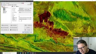
Tjoritja Fire Scar Analysis Using ProRaster Scientific
Analyze Tjoritja fire scar using Landsat imagery and ProRaster Scientific. Learn to build branched processing chains, compare indices, and create final map renderings.
Working with Spot7 Multispectral Satellite Data in ProRaster Scientific
Manually import and analyze Spot7 multispectral satellite data in ProRaster Scientific for vegetation studies using high-resolution spectral bands and NDVI rendering techniques.
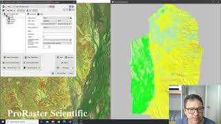
Building Advanced Collated Mosaic Sequences for NDVI Analysis - Part 3
Explore advanced Collated Mosaic Sequence creation in ProRaster Scientific for enhanced temporal vegetation analysis of Coorabulka Station using Landsat imagery and NDVI calculations.
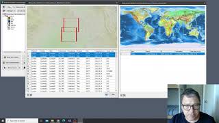
Building Mosaics and Collated Mosaic Sequences for NDVI Analysis - Part 2
Aprenda a criar mosaicos e sequências de mosaicos colados usando ProRaster Scientific para análise de vegetação em Coorabulka Station, Queensland, ao longo de um ano.