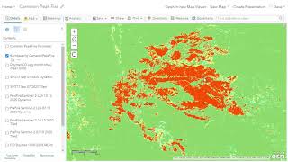
ArcGIS Image for ArcGIS Online
Explore cloud-based imagery hosting, analysis, and streaming with this SaaS solution. Integrate imagery into workflows efficiently, reducing infrastructure costs in a secure, scalable environment.
ArcGIS Platform
Integrate location services into apps and systems with comprehensive mapping tools, data, and flexible development options for innovative location-based solutions.
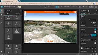
ArcGIS Experience Builder Quick Videos
This playlist contains quick videos and demos on how to build no-code web applications by configuring different ArcGIS Experience Builder capabilities.
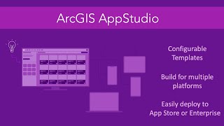
ArcGIS AppStudio Quick Videos
AppStudio is cross-platform solution, this means you only need to create your app once and they will run on iPhones, iPads, Android devices (phones/tablets) and even desktops (Windows/Mac/Linux).
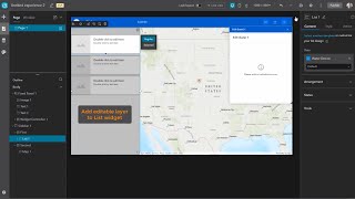
ArcGIS Experience Builder Releases
ArcGIS Experience Builder empowers you to quickly transform your data into compelling web apps without writing a single line of code.
Public Transit Analysis in ArcGIS
In this video series, we’ll do a deep dive into tools and techniques in ArcGIS Pro for doing geographic analysis with public transit data in order understand our public transit systems and model the way they connect our communities.
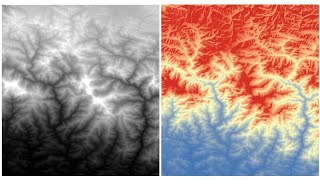
RS-GIS Data Download
Learn to download and process various geospatial datasets, including DEMs, climate data, soil maps, satellite imagery, and more. Gain skills in data acquisition and preparation for GIS analysis.
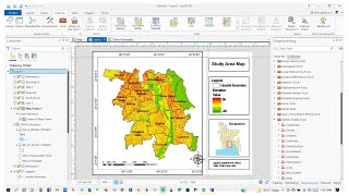
ArcGIS Pro
Learn the fundamentals of ArcGIS Pro, a powerful GIS software, in this beginner-friendly two-part tutorial series covering essential tools and features.
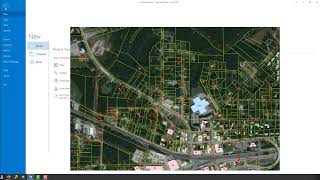
Editing Data with ArcGIS Pro
Learn essential data editing techniques in ArcGIS Pro, including feature templates, creating new features, merging, reshaping, and vertex editing for efficient geospatial data management.
ArcGIS Pro
Learn ArcGIS Pro through comprehensive tutorials covering installation, data editing, 3D mapping, and migration from ArcMap. Master essential tools and techniques for effective geospatial analysis and cartography.
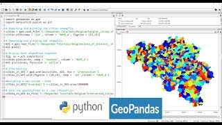
Applications of Python GeoPandas Library
Explore GeoPandas for GIS analysis, automating geo-processing tasks, creating density maps, geocoding, and mapping real-world data like COVID-19 cases using Python.
ArcGIS
Learn essential ArcGIS skills: create shapefiles, digitize, edit, join data, perform buffer analysis, select features, classify land use, and calculate areas using various satellite imagery.
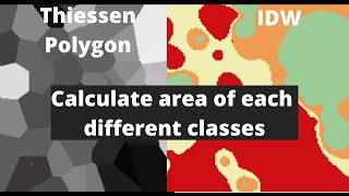
QGIS
Explore interpolation techniques, study area mapping, and land cover change detection using QGIS in this comprehensive tutorial for beginners.

ArcGIS Online
Take a tour of ArcGIS Online and learn how to harness the power of geography across your organization.
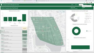
ArcGIS Solutions for Emergency Management
Emergency response requires organizations to share and update information as quickly as possible, sometimes in real-time. See the GIS tools that make it possible.
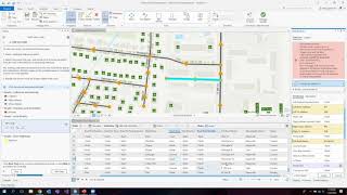
ArcGIS Solutions for Government - Meet Ups
Comprehensive tutorials and tips for GIS users in state and local government.
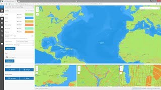
ArcGIS Living Atlas of the World
ArcGIS Living Atlas of the World is the foremost collection of geographic information from around the globe. It includes maps, apps, and data layers to support your work.
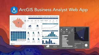
ArcGIS Business Analyst
Powerful market analysis tool combining demographic data, spatial analytics, and visualization for smarter business decisions. Includes global data, customizable reports, and integration with ArcGIS platform for comprehensive location intelligence.
GIS Basics - eRAMS Tutorial
Explore basic GIS functions in eRAMS, including tool bar usage, data management, geoprocessing, and watershed delineation. Learn to effectively utilize this cloud-based platform for sustainable resource management.
FiberBase V6.1 Working With Map Layers
Learn to manage map layers in FiberBase V6.1: create TAB files, load static and FiberBase data, arrange layers, and control visibility and selectability for efficient fiber network mapping.
QGIS for Preparing and Visualising Hydrological Data
Learn to preprocess and visualize hydrological data using QGIS. Explore catchment derivation, stream network creation, map design, and 2D/3D visualization techniques for effective water modeling and analysis.