
Introduction to Geospatial Analysis with Python GeoPandas
Learn to visualize and process geospatial data using Python GeoPandas. Master coordinate conversion, elevation extraction, and geoprocessing techniques for beginners.
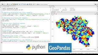
Applications of Python GeoPandas Library
Explore GeoPandas for GIS analysis, automating geo-processing tasks, creating density maps, geocoding, and mapping real-world data like COVID-19 cases using Python.
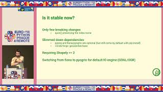
GeoPandas 1.0 and Beyond - New Features and Future Developments
Explore GeoPandas 1.0's new features, ecosystem developments, and future plans for geospatial data analysis in Python. Learn about recent changes and upcoming enhancements to prepare your code.

Geospatial Public Policy Analysis with GeoPandas
Analyze US higher education institutions using GeoPandas, exploring education deserts and equity implications through hands-on data analysis with NCES and IPEDS datasets.
Exploring Eco Topics with Python
Learn to apply Python skills to pressing environmental issues, using tools like numpy, pandas, and matplotlib to analyze deforestation, wildlife trade, and carbon pollution data.
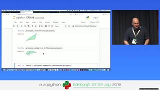
Processing Geodata Using Python and Open Source Modules
Learn to analyze, manipulate, and visualize geospatial data using Python and open-source modules like Shapely, Fiona, rasterio, and GeoPandas. Explore vector and raster data handling, spatial reference systems, and map creation.
Interactive Mapmaking with Python
Explore interactive mapmaking using Python and GeoDataframes. Learn to create visually appealing maps with libraries like Folium, Kepler.gl, and Plotly, and discover Geopatra for simplified geodata visualization.
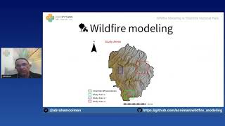
Wildfire Modeling in Yosemite National Park
Explore wildfire simulation in Yosemite using GRASS GIS and Python libraries. Learn to obtain geospatial data, model fire behavior, and create interactive maps with Google Earth Engine and Jupyter Notebook.
Vector Data Cubes as a Bridge Between Raster and Vector Worlds
Explore vector data cubes: multi-dimensional arrays with vector geometries. Learn about Xvec, a new Python library built on Xarray, Shapely 2.0, and GeoPandas for efficient geospatial data handling.