The Carbonate Forum - The Importance of Quantification in Carbonate Sedimentology
Explore quantitative approaches in carbonate sedimentology, discussing uncertainty, numerical models, and interdisciplinary collaboration for improved geological understanding and interpretation.
Python et ArcMap
Découvrez l'automatisation des geoprocess avec arcpy et le calculateur de champs dans ArcGIS pour optimiser vos flux de travail en géomatique.
ArcGIS Tutorial in Bangla
ArcGIS is a family of client, server and online geographic information system software developed and maintained by Esri. Learn the basics of mapping and spatial analysis in ArcGIS in these videos in Bengali.
ARCGIS
ArcGIS is a family of client, server and online geographic information system software developed and maintained by Esri. Learn the basics of ArcGIS with exercises in these videos in Telugu
Et si les solutions de demain venaient de l'espace ? - Innovations spatiales pour défis terrestres
Découvrez comment l'innovation spatiale et l'analyse des données satellitaires peuvent résoudre des défis locaux, du réchauffement climatique à l'agriculture durable, en apportant des solutions concrètes aux populations.
La atmósfera indomable - Predicción y cambios atmosféricos
Descubre cómo se predice el tiempo y las herramientas tecnológicas para conocer los cambios atmosféricos con un experto en Física de la Atmósfera y catedrático universitario.
Veri Biliminin Derinlerine Yolculuk - Geleceğin Haritası
Veri biliminin toplumsal etkileri, makine öğrenmesinin günlük hayattaki uygulamaları ve kişisel deneyimler üzerinden alanın geleceğine dair ilham verici bir bakış.
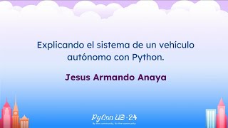
Explicando el Sistema de un Vehículo Autónomo con Python
Desmitificación del funcionamiento de vehículos autónomos usando Python. Exploración de frameworks como ROS, comunicación entre sensores y conceptos de ingeniería de software para sistemas en tiempo real.
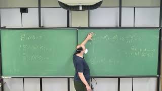
Computational Methods for Simulating and Analyzing Ecological Systems - Class 20
Explore computational methods for simulating and analyzing ecological systems. Learn equilibrium solutions, differential equations, and Python applications in quantitative ecology.
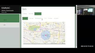
Classification of Guanacaste Districts Using Free Access Geospatial Data
Aprenda a clasificar distritos de Guanacaste utilizando datos geoespaciales de acceso libre en esta charla informativa.
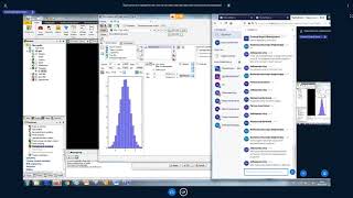
Практика - Прикладная геостатистика. Часть III
Освойте методы прикладной геостатистики для анализа и интерпретации пространственных данных в геологии и смежных областях.
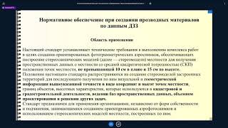
Технология получения основных производных материалов по данным аэрофотосъемки - Часть III
Освойте технологию создания производных материалов на основе аэрофотосъемки в третьей части курса от CdoGEO Казанского федерального университета.
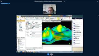
Практика. Прикладная геостатистика - Часть IV
Освойте прикладную геостатистику на практике, углубляя знания в области анализа пространственных данных и моделирования геологических процессов.
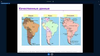
ArcGIS Desktop II: Инструменты и функциональность - Часть III
Изучите продвинутые инструменты и функциональность ArcGIS Desktop для эффективной работы с геоданными и создания качественных картографических материалов.
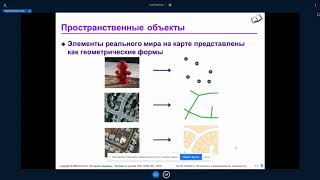
ArcGIS Desktop II: Инструменты и функциональность - Часть II
Изучите продвинутые инструменты и функциональность ArcGIS Desktop для эффективного анализа и визуализации геопространственных данных.
Основы геостатистики - Часть II
Изучите продвинутые методы геостатистического анализа для эффективного моделирования пространственных данных в геологии и нефтегазовой отрасли.
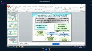
Аэрофотосъемка и дешифрирование снимков - Часть II
Изучите методы аэрофотосъемки и дешифрирования снимков для геологических исследований. Углубите знания в области дистанционного зондирования Земли.
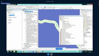
ArcGIS Desktop III - Рабочие процессы и анализ - Часть III
Изучите продвинутые рабочие процессы и методы анализа в ArcGIS Desktop для улучшения геопространственных проектов и принятия решений.
Практика - Прикладная геостатистика. Часть II
Освойте методы прикладной геостатистики для анализа и моделирования пространственных данных в геологии и нефтегазовой отрасли.
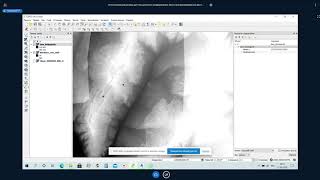
Основы фотограмметрии для работы с материалами аэрофотосъемки - Часть I
Изучите основы фотограмметрии и обработки данных аэрофотосъемки для эффективного применения в геодезии и картографии.
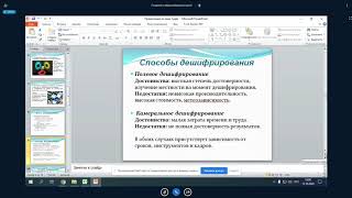
Аэрофотосъемка и дешифрирование снимков - Часть I
Изучите основы аэрофотосъемки и методы дешифрирования снимков для получения ценной геопространственной информации.