ArcGIS Online - Getting Started
Start here if you're new to ArcGIS Online or just need to brush up on your web map skills.
ArcGIS Tutorials for Beginners
This tutorial series will help you through the different tasks of image processing in ArcGis.

Google Earth Pro
Learn to create maps, import shapefiles and coordinates, visualize topography, and convert geospatial data using Google Earth Pro for effective spatial analysis and visualization.

ArcGIS Field Maps
ArcGIS Field Maps allows mobile workers to view their maps in the field, collect data, find assets and track their location on iOS and Android devices.

ArcGIS Pro Quick-Start Tutorials
Get started in ArcGIS Pro and begin creating projects, exploring features, analyze spatial data, and edit your maps.
GIS & RS
Comprehensive GIS and remote sensing training covering data extraction, analysis, and mapping techniques using ArcGIS and Google Earth for various environmental and spatial applications.
ArcMap & ArcCatalog
This playlist discusses ArcMap and Geodatabase basics on ArcGis. You will also get to understand the difference between ArcMap and ArcGis Pro, Creating Grid Index in ArcMap, Georeferencing CAD Files in ArcMap and using Layer files in ArcMap and ArcGis Pr…
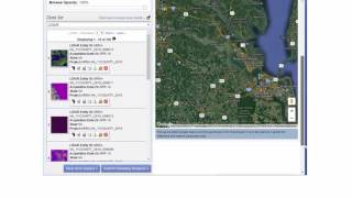
Working with LIDAR in ArcGIS
Companion Videos for the e-book, "Working with LIDAR in ArcGIS". The eBook is available on Amazon at http://tinyurl.com/hjbujgb for $2.99. These videos cover some of the hands-on exercises from the book as a supplement to the text.
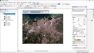
ArcGIS Tutorial
Comprehensive ArcGIS tutorial covering various GIS techniques, from basic operations to advanced analyses, including image processing, data extraction, and web mapping.
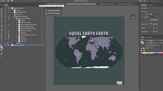
ArcGIS Maps for Adobe Creative Cloud
ArcGIS Maps for Adobe® Creative Cloud is ideal for design and communications professionals. These videos will demonstrate how to access data-driven maps inside Adobe® Illustrator and Photoshop and show you how to play with colors and styles to make the e…

ArcGIS Utility Network
Get an overview and an introductory understanding of ArcGIS Utility Network in this series of videos.
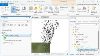
ArcGIS Pro
ArcGIS Pro is desktop GIS software developed by Esri, which replaces their ArcMap software generation. Learn the basics of using ArcGIS such a spatial joins, selections of attributes and layers, raster processing and topograpic analysis in this tutorial…
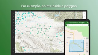
ArcGIS Survey123
Learn to create, share, and analyze smart surveys with ArcGIS Survey123. Master form creation, data collection, and result analysis for streamlined projects across various industries.
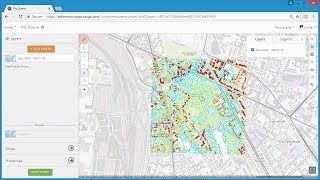
3D GIS
Explore 3D GIS techniques using ArcGIS, including point cloud and scene layers, web scenes, and 3D web GIS applications in ArcGIS Online and Web AppBuilder.
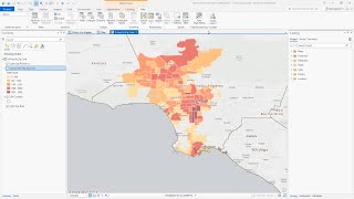
ArcGIS Pro Intelligence
Explore advanced geospatial analysis for intelligence professionals using ArcGIS Pro Intelligence. Learn to uncover patterns, conduct link analysis, and visualize data on timelines and 2D/3D maps for informed decision-making.
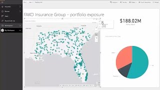
ArcGIS Maps for Power BI
ArcGIS Maps for Power BI offers enhanced mapping and analysis capabilities, demographic data, and compelling visualizations.
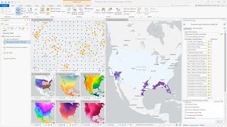
ArcGIS Pro
ArcGIS Pro is Esri’s powerful, single desktop GIS application. Technologically ahead of everything else on the market, ArcGIS Pro supports data visualization, advanced analysis and authoritative data maintenance in both 2D and 3D.
ArcGIS API for JavaScript
Video tutorials and walkthroughs for the ArcGIS API for JavaScript. Once you have finished this series, you will be well on your way to making your own web maps, adding advanced functionality, and writing custom code to meet the needs of your application…
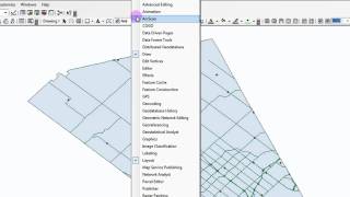
ArcMap 10 Tutorials
Learn essential ArcMap 10 skills, from projecting data views to creating thematic maps and georeferencing, in a concise 30-minute tutorial.

Extending ArcObjects with .NET
Learn to extend ArcGIS functionality using ArcObjects and VB.NET. Develop a fictional project, gradually adding features while exploring geometry, querying, editing, and spatial relationships in a hands-on, entertaining approach.
Multi-User Geodatabase
Comprehensive exploration of Esri's Enterprise Geodatabase, covering various modes, real-life implementations, and best practices for GIS professionals and developers.