ArcGIS Online - Getting Started
Start here if you're new to ArcGIS Online or just need to brush up on your web map skills.
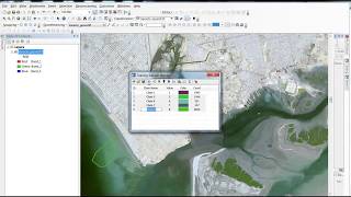
ArcGIS Tutorials for Beginners
This tutorial series will help you through the different tasks of image processing in ArcGis.
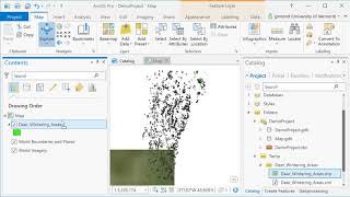
ArcGIS Pro
ArcGIS Pro is desktop GIS software developed by Esri, which replaces their ArcMap software generation. Learn the basics of using ArcGIS such a spatial joins, selections of attributes and layers, raster processing and topograpic analysis in this tutorial…

Political Geometry - The Mathematics of Redistricting
Explore mathematical approaches to redistricting, examining how models can improve the process and address challenges in voting rights, representation, and fair electoral boundaries.
The Science of Cities: Defining Size, Shape, Scale and Performance Using Percolation Theory
Exploring how city size impacts shape and performance using percolation theory, challenging the notion that bigger cities are always better through innovative spatial analysis methods.
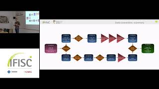
Segregation in Urban Systems and Mobility
Explore urban segregation patterns and their impact on mobility systems, analyzing complex interactions between social dynamics and city structures.
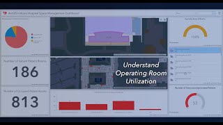
ArcGIS Indoors
ArcGIS Indoors enables your organization to build an indoor geographic information system (GIS) and put the power of indoor mapping, wayfinding, and space management software into everyone’s hands.
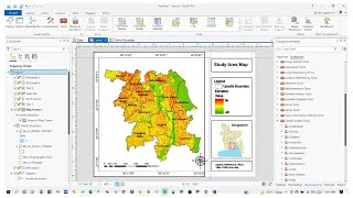
ArcGIS Pro
Learn the fundamentals of ArcGIS Pro, a powerful GIS software, in this beginner-friendly two-part tutorial series covering essential tools and features.
ArcGIS Pro
Learn ArcGIS Pro through comprehensive tutorials covering installation, data editing, 3D mapping, and migration from ArcMap. Master essential tools and techniques for effective geospatial analysis and cartography.
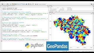
Applications of Python GeoPandas Library
Explore GeoPandas for GIS analysis, automating geo-processing tasks, creating density maps, geocoding, and mapping real-world data like COVID-19 cases using Python.

ArcGIS Online
Take a tour of ArcGIS Online and learn how to harness the power of geography across your organization.
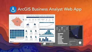
ArcGIS Business Analyst
Powerful market analysis tool combining demographic data, spatial analytics, and visualization for smarter business decisions. Includes global data, customizable reports, and integration with ArcGIS platform for comprehensive location intelligence.
Classification of Guanacaste Districts Using Free Access Geospatial Data
Aprenda a clasificar distritos de Guanacaste utilizando datos geoespaciales de acceso libre en esta charla informativa.
Практика - Прикладная геостатистика. Часть III
Освойте методы прикладной геостатистики для анализа и интерпретации пространственных данных в геологии и смежных областях.
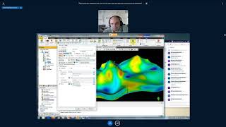
Практика. Прикладная геостатистика - Часть IV
Освойте прикладную геостатистику на практике, углубляя знания в области анализа пространственных данных и моделирования геологических процессов.
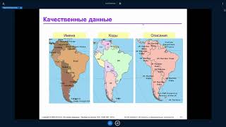
ArcGIS Desktop II: Инструменты и функциональность - Часть III
Изучите продвинутые инструменты и функциональность ArcGIS Desktop для эффективной работы с геоданными и создания качественных картографических материалов.
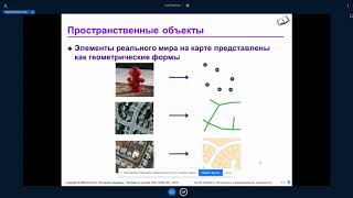
ArcGIS Desktop II: Инструменты и функциональность - Часть II
Изучите продвинутые инструменты и функциональность ArcGIS Desktop для эффективного анализа и визуализации геопространственных данных.

Основы геостатистики - Часть II
Изучите продвинутые методы геостатистического анализа для эффективного моделирования пространственных данных в геологии и нефтегазовой отрасли.
ArcGIS Desktop III - Рабочие процессы и анализ - Часть III
Изучите продвинутые рабочие процессы и методы анализа в ArcGIS Desktop для улучшения геопространственных проектов и принятия решений.

Практика - Прикладная геостатистика. Часть II
Освойте методы прикладной геостатистики для анализа и моделирования пространственных данных в геологии и нефтегазовой отрасли.

Основы геостатистики - Часть III
Изучите продвинутые методы геостатистики для анализа пространственных данных и моделирования геологических процессов.