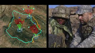
Imagery and Remote Sensing
Learn the basics of observing and understanding our planet with the help of Arc Gis.
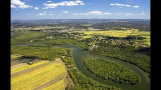
Next Generation Irrigation Management
Explore innovative irrigation techniques using technology and data for precise water management, ensuring optimal crop hydration while conserving resources.
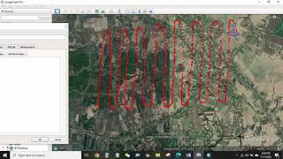
GIS & RS
Comprehensive GIS and remote sensing training covering data extraction, analysis, and mapping techniques using ArcGIS and Google Earth for various environmental and spatial applications.
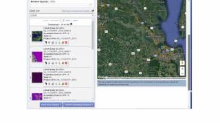
Working with LIDAR in ArcGIS
Companion Videos for the e-book, "Working with LIDAR in ArcGIS". The eBook is available on Amazon at http://tinyurl.com/hjbujgb for $2.99. These videos cover some of the hands-on exercises from the book as a supplement to the text.
OSINT at Home - Tutorials on Digital Research, Verification and Open Source Investigations
Learn digital investigation techniques, from image reverse search to geolocation and chronolocation. Develop OSINT skills for verifying social media content and conducting open-source research, applicable to journalism, human rights, and intelligence ana…
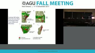
Public Health Applications of Remote Sensing
Explore remote sensing applications in public health, including disease prediction models, risk mapping, and vector-borne disease surveillance using satellite data and geospatial technologies.

Global Climate and the Coriolis Force - Lecture 13
Explore Earth's atmospheric circulation, Coriolis force, and geostrophic balance. Understand climate dynamics, cloud patterns, and the impact of Earth's rotation on global weather systems.

Introduction to Atmospheres - Earth's Climate System
Explore Earth's climate system through atmospheric and oceanic studies, with a focus on Hurricane Irene's impact and the fundamental nature of our atmosphere.
Can Citizen Science Save the World? - Many Hands in Scientific Research
Explore the impact of citizen science projects, including coastal monitoring, and their potential to revolutionize scientific research and environmental conservation efforts.
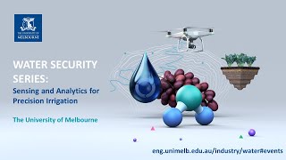
Water Security Series - Sensing and Analytics for Precision Irrigation
Explore precision irrigation technologies, their benefits, adoption barriers, and real-world applications in this insightful webinar on improving water efficiency in agriculture.
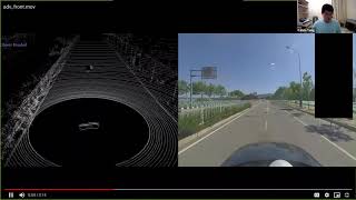
Trust Region Based Adversarial Attack on Neural Networks
Explore trust region optimization for adversarial attacks on neural networks, covering various attack methods and their applications in computer vision and object detection.
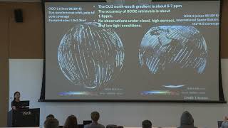
Maximizing the Role of Atmospheric CO2 Observations in Carbon Cycle Science and Carbon-Climate Policy
Explore the impact of atmospheric CO2 observations on carbon cycle science and climate policy with NASA JPL expert Junjie Liu.
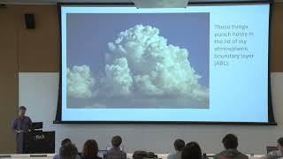
Plot to Continent: Reflections from Studying the Terrestrial Carbon Cycle at Multiple Scales
Explore the terrestrial carbon cycle across scales, from plot to continent, with insights from Ken Davis's research at Pennsylvania State University.
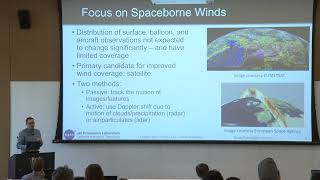
Observing Meteorology Across Scales
Dive into meteorology across scales with NASA JPL expert Derek Posselt in this Keck Institute for Space Studies short course on quantifying greenhouse gas emissions and transport.
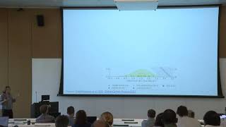
Estimating Fluxes in the Carbon Cycle
Dive into estimating fluxes in the carbon cycle with insights from Anna Michalak's talk at the Keck Institute for Space Studies short course on quantifying emissions.
Enabling Spectral Indices Computation with SpectralIndices.jl
Explore SpectralIndices.jl, a Julia package simplifying spectral indices computation in remote sensing. Learn its features, data compatibility, and user-friendly interface for efficient Earth system research analysis.

Geographic Techniques - Cartography, GIS and Remote Sensing
Comprehensive exploration of geographic techniques including GIS, remote sensing, cartography, and data analysis. Covers key concepts, tools, and applications in spatial information technology and practical geography.
Grade 12 Geography Unit 1 Research Methodology
Learn essential research methodologies, approaches, and elements in geography, focusing on the nature of geographic research for advanced studies.
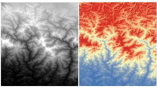
RS-GIS Data Download
Learn to download and process various geospatial datasets, including DEMs, climate data, soil maps, satellite imagery, and more. Gain skills in data acquisition and preparation for GIS analysis.
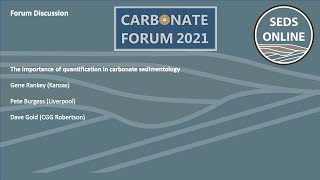
The Carbonate Forum - The Importance of Quantification in Carbonate Sedimentology
Explore quantitative approaches in carbonate sedimentology, discussing uncertainty, numerical models, and interdisciplinary collaboration for improved geological understanding and interpretation.
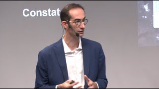
Et si les solutions de demain venaient de l'espace ? - Innovations spatiales pour défis terrestres
Découvrez comment l'innovation spatiale et l'analyse des données satellitaires peuvent résoudre des défis locaux, du réchauffement climatique à l'agriculture durable, en apportant des solutions concrètes aux populations.