Introduction to QGIS
Learn QGIS 3 for geospatial analysis: create 3D models, analyze terrain, visualize data, and produce maps. Master essential GIS skills for various applications in this comprehensive introduction.
Google Earth Pro
Learn to create maps, import shapefiles and coordinates, visualize topography, and convert geospatial data using Google Earth Pro for effective spatial analysis and visualization.
QGIS for Groundwater Applications
Learn to preprocess and visualize groundwater data using QGIS. Master importing borehole data, interpolating levels, and creating 2D/3D visualizations for hydrogeological studies.
QGIS Tutorial
Learn to pre-process images for NDVI and LULC, create study area maps, and digitize features from Google Earth using QGIS, a powerful open-source GIS software.
Cartography
Learn techniques for creating diverse maps, from animated routes to historical visualizations, using various tools like Photoshop, QGIS, and Google Sheets. Explore cartography concepts and unique map styles.
Basics of Cartography with QGIS
Learn essential cartography skills using QGIS, including creating profiles, COVID-19 maps, extracting topography, and 3D visualization techniques for various geographical data.
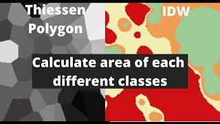
QGIS
Explore interpolation techniques, study area mapping, and land cover change detection using QGIS in this comprehensive tutorial for beginners.
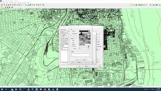
FiberBase V6.1 Working With Map Layers
Learn to manage map layers in FiberBase V6.1: create TAB files, load static and FiberBase data, arrange layers, and control visibility and selectability for efficient fiber network mapping.
QGIS for Preparing and Visualising Hydrological Data
Learn to preprocess and visualize hydrological data using QGIS. Explore catchment derivation, stream network creation, map design, and 2D/3D visualization techniques for effective water modeling and analysis.
QGIS Essentials for Water Modelling
Learn essential QGIS tools for water modelling, including PCRaster plugin, flow direction styling, and catchment map creation. Gain practical skills through live demonstrations and expert insights.
Improving SWMM Modeling with GIS Tools
Enhance stormwater management with EPA SWMM: Learn its history, use TUFLOW QGIS plugin for efficient data creation, and discover advanced features for streamlined workflows and improved project outcomes.
ChatGPT - Water Sector Applications
Explore AI and large language models in water industry applications, including ChatGPT capabilities, live demos, software integration, and potential risks and opportunities.
The Life of Open Source Spatial with QGIS - From Hobby to Grown Up, with Bonus Growing Pains
Explore QGIS's evolution from hobby project to leading open-source GIS software. Learn about its growth, challenges, and impact on the spatial community, including governance, stability, and community development.