
Geographic Techniques - Cartography, GIS and Remote Sensing
Comprehensive exploration of geographic techniques including GIS, remote sensing, cartography, and data analysis. Covers key concepts, tools, and applications in spatial information technology and practical geography.
Basics of Cartography with QGIS
Learn essential cartography skills using QGIS, including creating profiles, COVID-19 maps, extracting topography, and 3D visualization techniques for various geographical data.
ArcMap 10 Tutorials
Learn essential ArcMap 10 skills, from projecting data views to creating thematic maps and georeferencing, in a concise 30-minute tutorial.
Extending ArcObjects with .NET
Learn to extend ArcGIS functionality using ArcObjects and VB.NET. Develop a fictional project, gradually adding features while exploring geometry, querying, editing, and spatial relationships in a hands-on, entertaining approach.
Multi-User Geodatabase
Comprehensive exploration of Esri's Enterprise Geodatabase, covering various modes, real-life implementations, and best practices for GIS professionals and developers.
ArcObjects
Learn to develop ArcGIS Desktop applications using ArcObjects and C# .NET, covering feature creation, data management, and UI customization for enhanced GIS functionality.
ArcGIS for Server
Videos about ArcGIS Server technology, from installation to management and administration. Want to learn more about Server?
ArcGIS Javascript API 4.x
Comprehensive tutorial series on building GIS web applications using ArcGIS Javascript API 4.x, covering map views, layers, querying, widgets, and advanced features through hands-on examples.
ArcGIS Server Talk
Comprehensive podcast series exploring ArcGIS Server, covering architecture, features, and best practices for geospatial professionals and developers seeking in-depth knowledge.
Geodatabase Talk
Explore Esri's Geodatabase technology through a comprehensive podcast series covering key concepts, functionalities, and advanced features in GIS data management and analysis.
Grade 12 Geography Unit 1 Research Methodology
Learn essential research methodologies, approaches, and elements in geography, focusing on the nature of geographic research for advanced studies.
Citus Con - An Event for Postgres - Americas Livestream
Livestream replay featuring expert talks on PostgreSQL optimization, performance analysis, distributed databases, and geospatial applications. Gain insights from industry leaders on advanced Postgres topics.

How to Use Google Earth Pro - Beginners Tutorial 2022
Learn to navigate, search, measure, and explore Earth, Moon, and Mars using Google Earth Pro's features like historical imagery, Street View, and sunlight tracking.
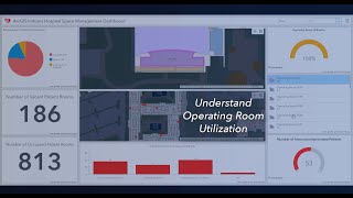
ArcGIS Indoors
ArcGIS Indoors enables your organization to build an indoor geographic information system (GIS) and put the power of indoor mapping, wayfinding, and space management software into everyone’s hands.
GeoDev Webinar Series
Comprehensive webinar series for ArcGIS developers, covering tools, techniques, and APIs for building powerful geospatial applications across various platforms and technologies.
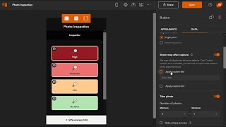
ArcGIS QuickCapture
ArcGIS QuickCapture is the fastest way to collect field observations. With this simple app, you can quickly record field observations from a moving vehicle while you scout locations, conduct aerial surveys, or assess damage.
ArcGIS Hub How-To
This playlist includes short tips, best practices, and how-to tutorial videos that will help you get the most out of ArcGIS Hub.
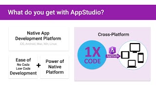
ArcGIS AppStudio Jumpstart Videos
AppStudio empowers everyone in an organization to create native apps. The non-developer GIS user can configure an out of the box template, a GIS power-user can customize an existing app, and a professional developer can write code and build a new app fro…
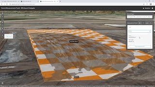
Site Scan for ArcGIS
Learn to plan flights, collect data, and analyze drone imagery using Site Scan for ArcGIS. Explore tools for site analysis, project reporting, and fleet management in this comprehensive solution.
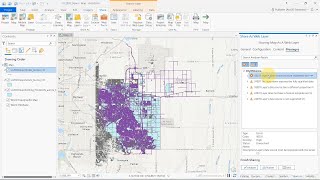
Geodatabases
Explore branch versioning, feature service syncing, and offline editing in geodatabases. Learn to publish and edit versioned data, manage branches, and work with cloud data warehouses.
Deep Learning
Explore advanced image analysis techniques using ArcGIS Pro and arcgis.learn, including feature classification, object extraction, and point cloud processing for geospatial applications.