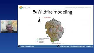
Wildfire Modeling in Yosemite National Park
Explore wildfire simulation in Yosemite using GRASS GIS and Python libraries. Learn to obtain geospatial data, model fire behavior, and create interactive maps with Google Earth Engine and Jupyter Notebook.
Predicting Urban Heat Islands in Calgary
Learn to predict urban heat islands using satellite imagery and geospatial Python libraries. Explore spatial regression methods, data processing, and visualization techniques for sustainable urban planning.
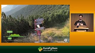
Maps with Django
Learn to create interactive web maps using Django's GeoDjango module, from simple Spatialite-based maps to complex PostGIS-powered solutions, without relying on external services.
Saving Lives with Predictive Geo - AI
Explore geospatial Python libraries for Multi-Criteria Decision making, including imagery dataset processing, overlay analysis, and zonal statistics. Learn to create intuitive geo-visualization portals using vector tiles.
Vector Data Cubes as a Bridge Between Raster and Vector Worlds
Explore vector data cubes: multi-dimensional arrays with vector geometries. Learn about Xvec, a new Python library built on Xarray, Shapely 2.0, and GeoPandas for efficient geospatial data handling.
We Can Get More from Spatial, GIS, and Public Domain Datasets
Explore spatial data analysis and interpolation techniques using pyinterpolate for insights on rental prices, pollution mapping, and socio-economic factors at various scales.
Spatial Data Analysis in Power BI
Learn to create stunning thematic maps and perform impactful spatial data analysis using Power BI's ArcGIS Maps and MapBox Visual for enhanced data visualization and insights.
Spatial Analysis with SQL Server, R and Power BI
Discover the power of spatial analysis using SQL Server, R, and Power BI. Learn to analyze location-based data, make informed decisions, and create compelling visualizations for real-world applications.
Offline P2P Mapping
Explore P2P mapping and GIS solutions for remote communities with limited network access, focusing on practical applications in Guyana.
Optimizing for Sustainability - Introduction to Google Cloud's Sustainability Tools
Explore sustainability strategies for startups using Google Cloud. Learn about carbon footprint measurement, sustainability recommendations, and tools like Google Earth Engine to optimize your business.
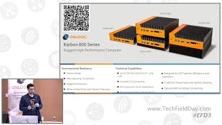
Edge Computing Applications in Smart Agriculture and Mining Automation
Explore how edge computing transforms agriculture and mining through rugged, industrial-grade systems designed for extreme environments, real-time processing, and automated operations.
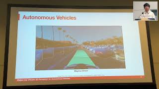
Efficient 3D Perception for Autonomous Vehicles
Explore efficient 3D perception techniques for autonomous vehicles, including multi-sensor fusion, accelerated view transformation, and optimized backbones for real-time performance on edge devices.
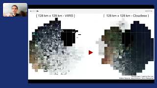
An Inside Look at NASA's SpaceML Worldview Search
Explore NASA's SpaceML Worldview Search with insights from Machine Learning Lead Anirudh Koul, covering innovative applications in space exploration and data analysis.
What AI Can See From Space Is Troubling
Explore the capabilities of Sentient, a top-secret AI system using satellite data to make global predictions, and its potential implications for society and privacy.

Integrating Julia for Perception Tasks in Autonomous Driving
Explore Julia's potential in autonomous driving perception tasks, from LIDAR processing to ML algorithm development and integration in real vehicles.
Geospatial Validations Using FastAPI and PostGIS
Explore geospatial data integration in web app backends using PostGIS and FastAPI. Learn to leverage geodata for custom validations and efficient processing without complex analysis tools.
Fixing Election Maps Using Street Lamps
Discover innovative techniques using nighttime satellite imagery to correct visual bias in election mapping and gain insights into spatial data science.
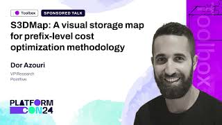
S3DMap: A Visual Storage Map for Prefix-Level Cost Optimization Methodology
Explore advanced S3 storage optimization using prefix-level analysis and S3DMap tool. Learn to visualize and strategize storage classes for enhanced efficiency and cost savings.

Using Machine Learning to Predict Weather and Climate Risk
Explore machine learning techniques for weather prediction and climate risk analysis using neural networks, satellite imagery, and Google Cloud tools.
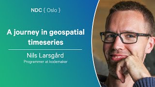
A Journey in Geospatial Timeseries - Handling Marine Traffic Data with PostgreSQL
Explore PostgreSQL's geospatial capabilities for handling timeseries data in marine traffic, using JSON types, PostGIS, and TimescaleDB extensions.
Rasters.jl - Raster Data and GIS Tools for Julia
Explore Rasters.jl for Julia: handle raster data, GIS tools, and large datasets with ease. Efficient spatial operations, plotting, and ecosystem compatibility for geospatial analysis.