
Geospatial Validations Using FastAPI and PostGIS
Explore geospatial data integration in web apps using PostGIS and FastAPI. Learn fundamentals, leverage PostgreSQL extension, and implement custom validations for efficient backend development.
Open-world Segmentation and Tracking in 3D
Discover cutting-edge techniques for 3D data detection and segmentation using pseudo-labels, with insights into Lidar applications and Segment Anything technology from NVIDIA expert Laura Leal-Taixé.
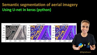
Semantic Segmentation of Aerial Imagery Using U-Net
Learn to preprocess aerial imagery, train U-net for semantic segmentation, and make predictions using Python, focusing on data preparation and model implementation for satellite image analysis.
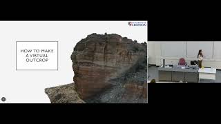
Virtual Outcrops in the Modern Geological Toolkit
Explore virtual outcrops in geology: photogrammetry, drones, and LiDAR for 3D modeling. Learn how these tools enhance fieldwork, mapping, and virtual field trips, revolutionizing geological research and education.

Auto Arborist - Towards Mapping Urban Forests Across North America
Explore innovative techniques for mapping urban forests across North America using advanced data assimilation and machine learning methods.
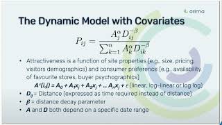
Dynamic Huff's Gravity Model with Covariates for Site Visitation Prediction
Discover how enhanced Huff's Gravity Model incorporates mobility and behavioral data to accurately predict consumer location visits, with practical applications for retail and urban planning.
Empowering the Map Ecosystem with Open Data
Discover how Overture Maps Foundation is revolutionizing digital mapping through collaborative open data initiatives, focusing on automotive applications and cross-industry implementation.
Unlocking Geospatial Data Science: A Strategic Overview
Explore the landscape of geospatial data science and location intelligence, from strategic perspectives to practical applications, including data sources, industry use cases, and hands-on examples.
The Next Phase - Information and Visualization with Digital Twins
Explore digital twins in IoT: benefits, standards, tech stacks, hardware, visualizations, and implementation strategies. Learn to plan, coordinate, and execute digital twin projects effectively.
Forecasting the Future with EarthPT
Explore EarthPT, an open-source Earth Observation pretrained transformer. Learn about its capabilities in predicting surface reflectances, vegetation indices, and potential applications in land use classification and crop yield forecasting.
Realtime Streaming of Flight Data with Microsoft Fabric
Stream and analyze real-time aircraft data using Microsoft Fabric, showcasing Eventstream, KQL database, and Power BI for visualizing flight patterns above SQLBits venue.

How Investors Think About Data - Trends in Data, ML, and AI Investing
Explore investor perspectives on data, AI, and ML from top venture firms. Gain insights into investment trends, criteria for early-stage teams, and future opportunities in the data infrastructure landscape.
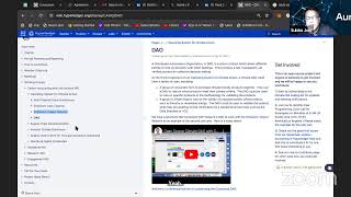
Net Zero and Carbon Credits Tokenization Using Distributed Ledger Technologies
Explore how distributed ledger technology can revolutionize carbon credit markets, enhancing transparency and traceability for enterprise carbon offset initiatives using drone-based remote sensing.
The New Jersey Heat Vulnerability Index: Understanding and Applying the Tool
Explore the Heat Vulnerability Index for New Jersey, its construction, application, and importance in identifying at-risk communities during extreme heat events.
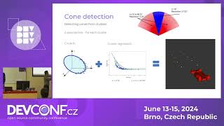
Design and Development of Autonomous Racecar
Explore autonomous racecar development: perception, localization, mapping, path planning, and vehicle control. Gain insights into creating self-driving vehicles using advanced technologies.

The Key to Remote Vehicle Control - Autonomous Driving Domain Controller
Explore security risks in autonomous driving controllers, including hardware structure, testing methods, and potential vulnerabilities. Learn to extract AI models and control vehicles remotely.
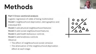
Multimorbidity and Place: Neighborhood Factors and Health Outcomes
Exploring links between multimorbidity, neighborhood characteristics, and social factors. Presents findings on material deprivation, social aspects, and novel neighborhood profiles based on local media data to understand spatial health inequalities.
Ireland's Ubotica - Pioneering Edge-Based Earth Observation Imagery Delivery
Transforming Earth Observation: Ubotica's edge-based model delivers imagery updates to user handsets in minutes, revolutionizing the field with faster, more efficient data consumption.
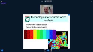
Applied Geophysics New Technologies - Part 5
Explore cutting-edge technologies in applied geophysics, focusing on innovative approaches and advancements in the field.
Efficient 3D Perception for Autonomous Vehicles
Explore cutting-edge techniques for efficient 3D perception in autonomous vehicles, including multi-sensor fusion, accelerated view transformation, and real-time performance on edge GPUs.

Programming for the Planet - Functional Programming for Climate Analysis
Explore functional programming's role in building resilient systems for climate analysis, emphasizing data handling, access control, and interdisciplinary collaboration for conservation impact.