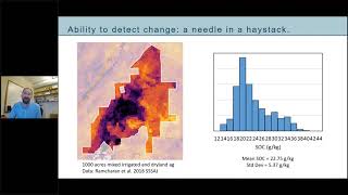
Measuring Soil C - Emerging Approaches
Explore emerging approaches for measuring soil carbon with experts from the Soil Health Institute and Woodwell Climate Research Center, focusing on widespread quantification and monitoring techniques.
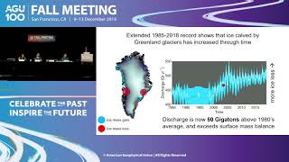
Ice in Motion - Decades of Satellite Images Illuminate Change
Satellite imagery reveals decades of ice changes, showcasing glacier retreat, Greenland melt, and Antarctic subsurface lakes. Experts discuss climate impacts on Earth's cryosphere using long-term observations.
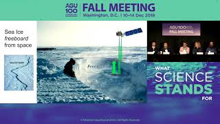
First Results from NASA’s New Ice-Measuring Space Laser
NASA scientists present groundbreaking data from ICESat-2, revealing detailed Earth surface features and ice measurements. This innovative space laser provides crucial insights for climate research and sea level predictions.
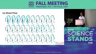
Changes in East Antarctic Glaciers
New findings reveal acceleration of East Antarctic glaciers near Totten Glacier over the past decade, challenging long-held stability assumptions and potentially impacting global sea levels. Causes and implications discussed.
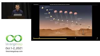
Exploring Deep Space and Deep Ocean with AI Guidance
Discover how AI and ML advance exploration of extreme environments like deep oceans and space, focusing on autonomous decision-making, data collection, and spectroscopy techniques.
Space Technology - A Catalyst for National Development
Explore India's journey in remote sensing and space technology, its impact on national development, and future opportunities in the field with a leading ISRO scientist.

Help Discover Ancient Ruins - Before It's Too Late
Sarah Parcak introduces space archaeology, using satellites to uncover ancient treasures. She discusses the vast potential for discovery and presents GlobalXplorer, an online platform enabling anyone to participate in archaeological exploration.
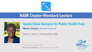
Spatial Data Analysis for Public Health
Explore spatial data analysis techniques for public health, focusing on disease surveillance, outbreak detection, and global patterns in health data.
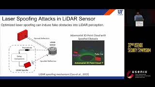
You Can't See Me - Physical Removal Attacks on LiDAR-based Autonomous Vehicles Driving Frameworks
Explores physical removal attacks on LiDAR-based autonomous vehicle systems, demonstrating how to deceive obstacle detectors and impact driving decisions through laser-based spoofing techniques.
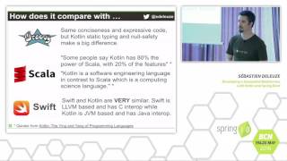
Developing a Geospatial Webservice with Kotlin and Spring Boot
Explore building a geospatial webservice using Kotlin and Spring Boot, leveraging PostgreSQL's advanced features for efficient and powerful application development.
Open Source Tools for Publishing and Processing Earth Observation Imagery
Explore open-source tools for accessing and processing satellite imagery data, focusing on Digital Earth Australia and Open Data Cube platforms for government, industry, and research applications.
The Life of Open Source Spatial with QGIS - From Hobby to Grown Up, with Bonus Growing Pains
Explore QGIS's evolution from hobby project to leading open-source GIS software. Learn about its growth, challenges, and impact on the spatial community, including governance, stability, and community development.

Integration, Data Sharing, Opensource, and the Agtech Startup Ecosystem
Exploring agtech's potential in Australia: challenges, open data standards, and the importance of interoperability for farmers and developers in the agricultural technology ecosystem.

Geospatial Public Policy Analysis with GeoPandas
Analyze US higher education institutions using GeoPandas, exploring education deserts and equity implications through hands-on data analysis with NCES and IPEDS datasets.
Charlas - Marcelo Elizeche Landó: AyudaPy org De proyecto de fin de semana a movimiento ciudadano
Experiencia de transformar un proyecto de fin de semana en un movimiento ciudadano de ayuda social, utilizando Python y tecnologías open source. Desafíos, impacto y lecciones aprendidas.
Álgebra de Mapas en Python
Introducción al álgebra de mapas con ArcPy: operadores, funciones y expresiones para análisis geoespacial. Creación de mapas usando Python para amantes de la geografía y las matemáticas.
Eroding Coastlines - A Geospatial & Computer Vision Analysis
Explore satellite imagery and Python tools for geospatial analysis to identify and analyze coastal erosion, addressing a critical environmental and humanitarian challenge.
Exploring Eco Topics with Python
Learn to apply Python skills to pressing environmental issues, using tools like numpy, pandas, and matplotlib to analyze deforestation, wildlife trade, and carbon pollution data.
Bringing Spatial Love to Your Python Application
Learn to integrate spatial data into Python applications using MongoDB and PostGIS. Explore developer tools, spatial indexing, and practical examples for efficient geospatial querying and analysis.
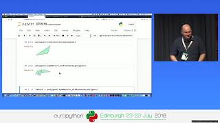
Processing Geodata Using Python and Open Source Modules
Learn to analyze, manipulate, and visualize geospatial data using Python and open-source modules like Shapely, Fiona, rasterio, and GeoPandas. Explore vector and raster data handling, spatial reference systems, and map creation.
Interactive Mapmaking with Python
Explore interactive mapmaking using Python and GeoDataframes. Learn to create visually appealing maps with libraries like Folium, Kepler.gl, and Plotly, and discover Geopatra for simplified geodata visualization.