
From Sea to Changing Sea - The Role of Oceans in Climate
Explore the critical role of oceans in climate change with leading oceanographers. Gain insights into sea level rise, ocean circulation, and their impact on global climate systems.
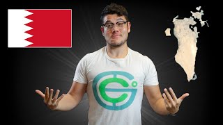
Geography Now - Central and Western Asia
Explore Central and Western Asia through in-depth country profiles, covering geography, culture, and geopolitics of 19 nations from Bahrain to Saudi Arabia.
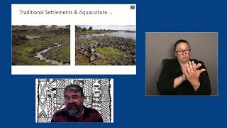
Engineering and Aquaculture in Indigenous Knowledge Practice
Explore ancient Indigenous Australian aquaculture engineering, discussing sophisticated fish traps and eel farms, their cultural significance, and relevance to modern resource management and sustainability practices.

Why So Many Species? The Factors Affecting Biodiversity
Explore biodiversity from ecological, economic, evolutionary, and personal perspectives, examining its importance, value, and our relationship with nature.
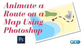
Cartography
Learn techniques for creating diverse maps, from animated routes to historical visualizations, using various tools like Photoshop, QGIS, and Google Sheets. Explore cartography concepts and unique map styles.
Earth Science - A Tour of the Solar System
Explore the diverse worlds of our solar system, from rocky terrestrials to gas giants, examining their unique features, interiors, atmospheres, and geological activities.
Unearthing Fermi’s Geophysics
Explore Enrico Fermi's forgotten geophysics course, its relevance today, and his unique approach to physics, blending theory and experimentation across diverse scientific domains.

The Future's Underground - Engineering Geoscience
Explore underground engineering challenges with Prof. Ghail, focusing on geological insights for railway construction, groundwater management, and innovative technologies in urban development.
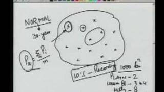
Water Resources Engineering
Comprehensive exploration of water resources engineering principles, covering key concepts and applications through a series of 29 lectures.
Earth Science
Explore Earth's systems, climate change, and human impacts through expert lectures on topics like carbon cycles, freshwater ecosystems, climate modeling, and glaciology.
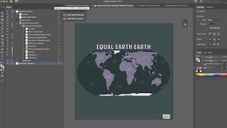
ArcGIS Maps for Adobe Creative Cloud
ArcGIS Maps for Adobe® Creative Cloud is ideal for design and communications professionals. These videos will demonstrate how to access data-driven maps inside Adobe® Illustrator and Photoshop and show you how to play with colors and styles to make the e…

A-Z of Archaeology
Comprehensive exploration of archaeological concepts, methods, and practices from A to Z, covering key topics like excavation, dating techniques, and material analysis.
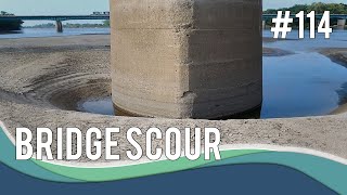
Estimating Bridge Hydraulics and Scour
Learn techniques for estimating bridge hydraulics and scour depths, including best practices for evaluating hydraulic characteristics and applying various scour equations for bridge foundations.

The Future of Water Quality Modelling
Explore advanced water quality modelling with TUFLOW, combining AED's model and GPU-based simulations. Learn about smart particles, aquaculture applications, and accelerated computations for environmental management.
Coastal Water Quality Monitoring 101
Learn about coastal water quality monitoring, including key drivers, common issues, and data needs. Explore 3D modeling applications for informed decision-making in environmental management and coastal development.
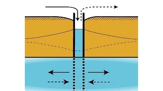
MAR for Water Utilities
Explore managed aquifer recharge (MAR) schemes, their potential, barriers, and benefits for water utilities. Learn about stormwater and recycled water integration in Adelaide's water management.
Dam Safety Modelling Using McBreach
Leverage Monte Carlo simulations in HEC-RAS for probabilistic dam breach analysis, enhancing risk management and decision-making in the face of aging infrastructure and climate uncertainties.
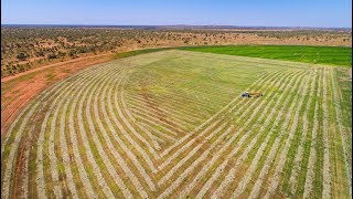
Assessing the Water and Agricultural Resources of Northern Australia
Comprehensive assessment of water and agricultural resources in Northern Australia, exploring investment opportunities, economic considerations, and ecological impacts.
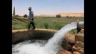
Groundwater Governance, Policy and Regulation in the Arab World
Explore groundwater governance challenges in the Arab World, focusing on policy frameworks, regulatory tools, and implementation limitations for addressing over-abstraction issues.
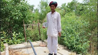
Sustaining India’s Hidden Water Resource
Empowering villagers as groundwater champions through training, capacity building, and technology like MyWell App for sustainable groundwater management in India.
Powerful Feature of HEC-RAS Exposed
Explore HEC-RAS's powerful API for custom applications, automation, and advanced analysis, including implementation of ARR2016 guidelines for hydrological modeling.