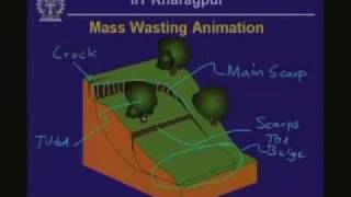
Engineering Geology
Comprehensive exploration of engineering geology, covering minerals, rocks, soils, exploration techniques, and geologic hazards. Equips learners with essential knowledge for geological engineering applications.

Introduction to QGIS
Learn QGIS 3 for geospatial analysis: create 3D models, analyze terrain, visualize data, and produce maps. Master essential GIS skills for various applications in this comprehensive introduction.

Introduction to Civil Engineering Profession
The course introduces the civil engineering profession and the degree programme to first year students and prospective students. The different disciplines of civil engineering are briefly e xplained, along with the pre-requisites, scope and opportunities.
Modelling with HEC-HMS
Explore advanced rainfall-runoff simulations using HEC-HMS, leveraging new meteorological data for realistic hydrologic process modeling. Learn model building, new features, and future enhancements.
Structural Geology
Comprehensive exploration of structural geology concepts, including stereographic projections, strain analysis, stress mechanics, rheology, and deformation processes, with practical lab applications.
Earth Sciences for Civil Engineering - Part 2
Explore geological hazards, environmental impacts, and civil engineering applications, focusing on active faults, tsunamis, landslides, floods, and groundwater in the Indian context.
QGIS for Groundwater Applications
Learn to preprocess and visualize groundwater data using QGIS. Master importing borehole data, interpolating levels, and creating 2D/3D visualizations for hydrogeological studies.
Mine Water Management - Surface Water Solutions for Effective Mining Closures
Explore innovative surface water solutions for effective mining closures, focusing on creek diversions, design considerations, and real-world examples to mitigate environmental risks and preserve waterways.
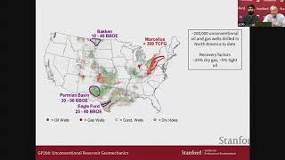
Unconventional Reservoir Geomechanics
Explore unconventional oil and gas reservoirs' properties, production technologies, and geomechanical optimization with Stanford experts in this informative webinar on reservoir geomechanics.
Modelling Ice Sheets - Oxford Mathematics Research Seminar
Mathematical exploration of ice sheet dynamics in Greenland and Antarctica, covering fluid mechanics, modeling techniques, and key equations to understand their behavior and movement.

Geography Now! East and South Asia
Comprehensive exploration of East and South Asian countries, covering geography, culture, and geopolitics. Ideal for those seeking in-depth knowledge of the region's diverse nations.
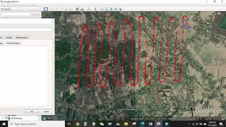
GIS & RS
Comprehensive GIS and remote sensing training covering data extraction, analysis, and mapping techniques using ArcGIS and Google Earth for various environmental and spatial applications.
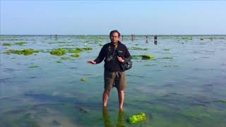
Wildlife Ecology
Explore wildlife ecology from biodiversity to conservation, covering species interactions, population dynamics, community organization, and human impacts on ecosystems.
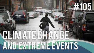
Climate Change Impacts on Extreme Event Hydrology
Experts discuss climate change impacts on extreme event hydrology, covering global trends, atmospheric effects, and design event selection for infrastructure planning and flood management.
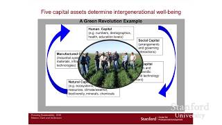
Stanford Webinar - The Pursuit of Sustainability
Explore sustainability as a business strategy, learn challenges and tools for implementation, and understand its impact on global well-being and organizational success.
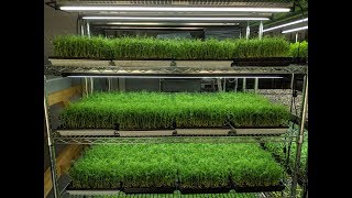
Microgreens
Learn to grow, cultivate, and profit from microgreens with expert tips on setup, soil selection, washing techniques, and best varieties for success.
Vertebrate Paleontology
Explore vertebrate evolution through fossils, anatomy, and key adaptations. Uncover the origins of major groups like fish, amphibians, reptiles, birds, and mammals, including human ancestors.
Geography Now! Europe
Comprehensive video series exploring European countries' geography, culture, and unique characteristics, offering in-depth insights into each nation's distinct features.
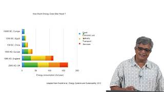
Ecology and Environment
The lectures are aimed at posing various questions that are relevant for all students of engineering and management to incorporate sustainability and a sensitivity to ecology and environment in their design of products, processes and systems.

Archaeological Dating Methods
Explore various techniques used to determine the age of archaeological artifacts and sites, from radiocarbon dating to dendrochronology and stratigraphy.
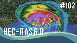
HEC-RAS 6.0, What You Need to Know - Part One
Explore new features in HEC-RAS 6.0, including 3D visualization, spatial precipitation, wind forces, bridge hydraulics in 2D areas, new solvers, and improved RAS Mapper tools for enhanced hydraulic modeling.