
Introduction to QGIS
Learn QGIS 3 for geospatial analysis: create 3D models, analyze terrain, visualize data, and produce maps. Master essential GIS skills for various applications in this comprehensive introduction.

Geography Now! East and South Asia
Comprehensive exploration of East and South Asian countries, covering geography, culture, and geopolitics. Ideal for those seeking in-depth knowledge of the region's diverse nations.
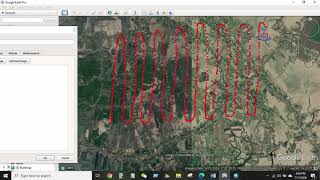
GIS & RS
Comprehensive GIS and remote sensing training covering data extraction, analysis, and mapping techniques using ArcGIS and Google Earth for various environmental and spatial applications.
Geography Now! Europe
Comprehensive video series exploring European countries' geography, culture, and unique characteristics, offering in-depth insights into each nation's distinct features.
Geography Now - Central and Western Asia
Explore Central and Western Asia through in-depth country profiles, covering geography, culture, and geopolitics of 19 nations from Bahrain to Saudi Arabia.
Cartography
Learn techniques for creating diverse maps, from animated routes to historical visualizations, using various tools like Photoshop, QGIS, and Google Sheets. Explore cartography concepts and unique map styles.
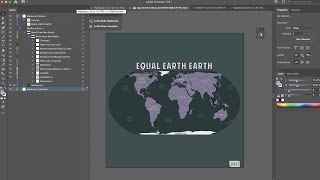
ArcGIS Maps for Adobe Creative Cloud
ArcGIS Maps for Adobe® Creative Cloud is ideal for design and communications professionals. These videos will demonstrate how to access data-driven maps inside Adobe® Illustrator and Photoshop and show you how to play with colors and styles to make the e…
Water, Society and Sustainability
Explore water's societal impact through historical, ecological, and political lenses. Examine ancient techniques, colonial influences, and contemporary challenges in water management and sustainability.

Administrative Divisions Explained
Comprehensive exploration of global administrative divisions, covering countries' states, provinces, and regions across continents, offering insights into geographical and political structures worldwide.
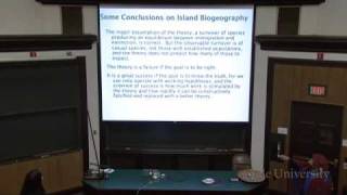
Island Biogeography and Invasive Species - Principles of Evolution, Ecology and Behavior
Explore island biogeography, metapopulations, and their ecological significance. Learn how these concepts apply to species distribution, extinction risks, and even epidemiology in this insightful lecture.
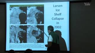
Ice in the Climate System - Types and Formation
Explore five types of ice in the climate system: sea ice, ice sheets, ice shelves, icebergs, and mountain glaciers. Learn about their formation, characteristics, and roles in Earth's environment.
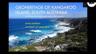
Geoheritage of Kangaroo Island, South Australia
Explore Kangaroo Island's rich geological history, from ancient caves to unique rock formations. Learn about geodiversity, climate records, and the impact of recent wildfires on this Australian treasure.
Mining Threats to Biodiversity and Consequences of Green Energy Transition
Explore mining's impact on biodiversity, future threats, and policy challenges in the green energy transition. Gain insights into compensation strategies and global case studies.
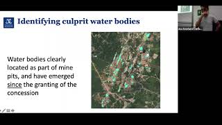
Multidisciplinary Approaches to Geographies of Extraction
Explore multidisciplinary perspectives on extractive geographies with experts from the School of Geography, Earth and Atmospheric Sciences, focusing on Colombia and broader implications.
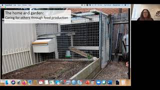
Maintaining Lives - Care in an Industrial City
Explore care practices in deindustrialized urban settings, examining gender dynamics, social bonds, and cultural impacts on Australian identity and community well-being.
Metabolic Ecology of Humans
Explore how human metabolism relates to ecology, geography, and civilization through scaling perspectives and energy dynamics.
The Evolution of Root Systems & Biogeochemical Cycling
Exploring root system evolution and its impact on biogeochemical cycles. Insights into plant adaptation, nutrient acquisition, and ecological interactions, with implications for understanding complex systems and future technologies.
The Fabric of our Lives - Cities, Slums, Neighborhoods, People
Explore how cities are defined by connections, examining urban fabric through neighborhood data and individual interactions, with insights on slums as gateways to urban life.

The Insane Engineering of Europa Clipper
Explore the engineering challenges and innovative solutions behind NASA's Europa Clipper mission to Jupiter's icy moon, uncovering potential for extraterrestrial life.

Geography Now! Zimbabwe - The Final Episode
Explore Zimbabwe's geography, culture, and history in this final episode of Geography Now. Celebrate a decade of global learning and discovery with host Barbs.
Earth Science at the Poles
Explore ongoing polar research, from permafrost dynamics to meteorite discoveries, and gain insights into conservation efforts for iconic Arctic and Antarctic species.