Ice and Climate Change - The Atmosphere, the Ocean and Environmental Change
Explore ice's role in climate change, recent Greenland trends, and Earth's climate history over 5 million years, including paleoclimate periods and geomorphological evidence of past ice extent.
Bretz and the Channeled Scablands - New Discoveries
Explore the groundbreaking discoveries of J Harlen Bretz and the Channeled Scablands, uncovering new insights into this fascinating geological phenomenon and its impact on our understanding of Earth's history.
Geomorphology for Project Planning and Implementation
Explore fluvial geomorphology's role in project planning, including case studies, technological advances, and palaeoflood hydrology for improved flood risk estimation and engineering around water.
Sedimentology Futures - Geoheritage, Planetary Exploration, and Technology
Explora el futuro de la sedimentología: geopatrimonio, exploración planetaria y tecnología. Descubre cómo estos campos interconectados están transformando la investigación y abriendo nuevas fronteras en la ciencia sedimentológica.
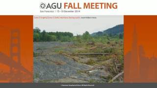
The 22 March 2014 Oso Landslide - Findings of the GEER Reconnaissance Investigation
Findings from NSF-supported investigation of the deadliest U.S. landslide, including causes, geomorphic zones, and two-stage movement hypothesis. Risk assessment compared to international guidelines.
Applying Structure-from-Motion Photogrammetry to High-Resolution Terrain Modeling of Barva Volcano's Southeastern Parasitic Cones
Explore high-resolution terrain modeling of Barva Volcano using Structure-from-Motion photogrammetry in this Master's Capstone Defense presentation.

Glacial Mars and Its Morphological Mysteries
Explore Mars' glacial landscapes, recent ice history, and morphological mysteries. Dr. Frances Butcher discusses glaciation, meltwater, and intriguing features like eskers and inverted channels on the Red Planet.
The Evolution of the Patagonian Ice Sheet from 35 ka to the Present Day
Explore the evolution of the Patagonian Ice Sheet over 35,000 years, examining its diverse environments, sediment-landform assemblages, and the climatic factors influencing its recession.
Hydrology and Geomorphology II
Explore stream ecology through hydrology and geomorphology, covering flow dynamics, fluid mechanics, and field sampling techniques for a comprehensive understanding of riverine systems.
Hydrology and Geomorphology I
Explore hydrology and geomorphology fundamentals, focusing on Chesapeake region streams. Learn about riverscapes, discharge measurements, and key physical features of waterways.
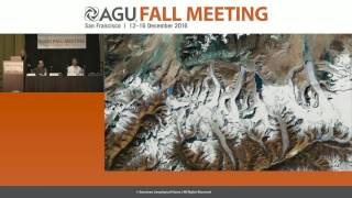
Attributing Mountain Glacier Retreat to Climate Change
New method for assessing glacier retreat and its link to climate change. Researchers present findings on individual glacier changes and their implications for freshwater sources and climate indicators.
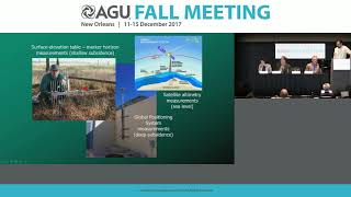
Subsidence and Land Loss in Coastal Louisiana - New Measurement Approaches
New approaches to measure and predict subsidence in coastal Louisiana, including a groundbreaking subsidence superstation in the Mississippi River Delta, providing unprecedented data resolution on land loss causes and implications.
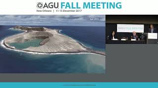
Evolution of a New Pacific Island - Satellite Observations and Insights
Satellite observations of a new Tongan island offer insights into island formation, longevity, and potential analogues for Mars features, providing unprecedented views of early island evolution.
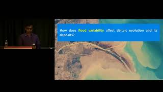
Variability in River Delta Mechanics and Deposits - 2015 Sharp Lecture
Insights into river delta mechanics, focusing on avulsions and their impact on delta formation. Explores backwater hydrodynamics, flood effects, and implications for delta management and stratigraphic interpretation.
Geology and Game of Thrones - Part 1
Explore the geological aspects of Game of Thrones with Stanford scientist Miles Traer. Learn how pop culture can effectively communicate scientific concepts and discover the geologic history of Westeros.
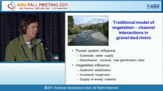
Predictive Understanding of Coupled Interactions Among Water, Life, and Landforms
Explore coupled interactions among water, life, and landforms in this AGU Fall Meeting session, focusing on predictive understanding and cutting-edge research in Earth sciences.

Geomorphology: The Shock of the Familiar - Langbein Lecture
Explore geomorphology's familiar yet surprising aspects with William E. Dietrich, uncovering new insights into Earth's surface processes and landform evolution.
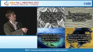
Patterns and Processes in Landscapes: Surprises from Earth and Beyond - Sharp Lecture
Explore patterns and processes in landscapes across Earth and beyond, uncovering surprising insights into geomorphology and planetary science.
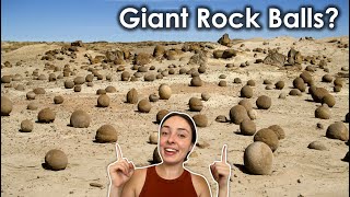
How Giant Rock Balls Form - Concretions in Geology
Explore the fascinating world of giant rock concretions, their formation process, and unique locations worldwide. Learn about their differences from geodes and their presence on Mars.
Taming the Wild Mississippi River Delta - Research Insights
Experts discuss the Mississippi River Delta's rapid changes due to natural and human factors, offering insights into its dynamic nature and the impact of severe storms and climate change.
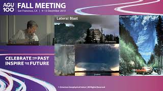
The Global Scientific Legacy of the 1980 Mount St. Helens Eruption - A 40-Year Perspective
Explore the far-reaching scientific impact of Mount St. Helens' 1980 eruption across multiple disciplines, from volcanology to ecology, and its influence on hazard assessment and emergency management.