Geographic Information Systems (GIS) - Part 2
Изучите основы геоинформационных систем (ГИС) и их применение в геологии и нефтегазовой отрасли. Получите практические навыки работы с ГИС-технологиями.
Работа с материалами ДЗЗ из космоса - Часть 3
Освойте передовые методы обработки и анализа космических снимков для решения задач дистанционного зондирования Земли.
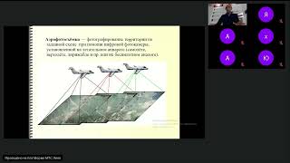
Дистанционное зондирование - 12.10.2023
Изучите основы дистанционного зондирования и его применение в геологии и нефтегазовых технологиях. Повысьте свою квалификацию в этой перспективной области.
Методы Лазерного Сканирования при Проектных и Изыскательских Работах
Освойте передовые методы лазерного сканирования для проектирования и изысканий, повышая эффективность и точность ваших геодезических работ.
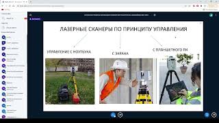
Лазерные методы сканирования
Изучите современные лазерные методы сканирования для геологических исследований и нефтегазовых технологий. Повысьте эффективность в области геологии.
Working with Geotiff Files Using Rasterio in Python - Also Quick Demo of NDVI Calculation
Learn to manipulate geotiff files using rasterio in Python, including reading, plotting, and performing NDVI calculations. Gain practical skills for working with satellite imagery and geospatial data analysis.
Bridging Gaps Between Geospatial Data, Cloud Computing, and Local Disaster Organizations
Explore geospatial data integration for disaster response, covering UI challenges, rapid data delivery, and field-ready solutions using AWS, edge computing, and various data sources.
Modelling and Predicting Climate Change
Explore innovative methods for monitoring and predicting climate change, from Antarctic sea ice to forest ecosystems, with leading environmental scientists using AI and data science.

Bringing Satellite and Drone Imagery into Data Science Workflows
Explore satellite and drone imagery analysis in data science workflows using RasterFrames, a Spark SQL extension with Python API for processing spatial image data and integrating with ML frameworks.
NASA's Worldview: Creating Custom Maps and Animations with Satellite Data
Hands-on workshop teaching how to create custom maps and animations using NASA's satellite imagery to visualize environmental changes, disasters, and air quality.

Sensing the Whole - Big Data, Big Indicators and the Future of Planetary Health
Explore emerging tools like satellite imagery and analytics that reveal complex relationships between people and the planet, enabling new approaches to planetary health and social wellbeing.

How Researchers Can Turbocharge Investigative Journalism
Explore how AI and digital information revolutionize investigative journalism, exposing wrongdoing and debunking disinformation through landmark case studies and cutting-edge techniques.
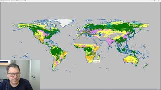
Classify Raster Operation in ProRaster Scientific - Deep Dive Tutorial
Explore ProRaster Scientific's Classify operation for raster data processing. Learn to classify continuous rasters, reclassify existing data, handle pyramid issues, and perform advanced classifications with practical examples.
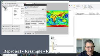
Introducing the Processing Menu in ProRaster Scientific
Discover new Raster Processing operations in ProRaster Scientific, enabling immediate visualization of huge raster outputs without execution. Learn export, statistics, join, clip, mask creation, reprojection, and more.
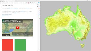
Comparing GLO-30, MERIT DEM, and Australian DEM in ProRaster Scientific - Australia Flyover
Explore Australia's diverse landscapes through a comparison of GLO-30, MERIT DEM, and Hydrologically Enforced DEM datasets using ProRaster Scientific software.
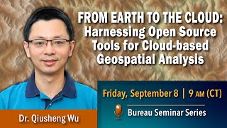
Harnessing Open Source Tools for Cloud-based Geospatial Analysis
Explore open-source tools for cloud-based geospatial analysis using satellite data. Learn to leverage platforms like Google Earth Engine for environmental applications and gain insights into planetary-scale changes.
Building a Spacetech Startup from India
Explore the journey of building a spacetech startup in India, from identifying market gaps to leveraging satellite data for innovative solutions across various sectors.
Applying Structure-from-Motion Photogrammetry to High-Resolution Terrain Modeling of Barva Volcano's Southeastern Parasitic Cones
Explore high-resolution terrain modeling of Barva Volcano using Structure-from-Motion photogrammetry in this Master's Capstone Defense presentation.
Dangerous While Asleep: Applying UAV-facilitated Photogrammetry to the Formant Barva Volcano
Explore UAV-facilitated photogrammetry techniques for studying the dormant Barva Volcano, enhancing our understanding of volcanic structures and potential hazards.
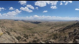
Geology and Seismic Potential of the Hustain Fault, Mongolia
Explore the Hustain fault near Ulaanbaatar through geologic investigation highlights. Learn about basin closure models, stratigraphy, remote sensing analysis, and various subareas, with insights on fault characteristics and kinematic indicators.
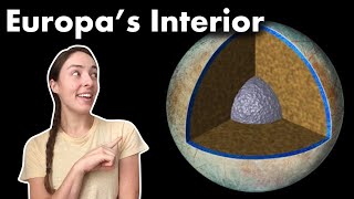
Europa's Core, Mantle, and Water Shell - What We Know and How We Know It
Explore Europa's interior structure, formation, and evidence for a liquid ocean through gravity science, geology, and magnetic field data. Learn about ongoing research and future missions.