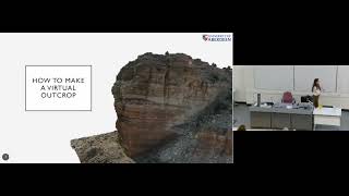
Virtual Outcrops in the Modern Geological Toolkit
Explore virtual outcrops in geology: photogrammetry, drones, and LiDAR for 3D modeling. Learn how these tools enhance fieldwork, mapping, and virtual field trips, revolutionizing geological research and education.

Auto Arborist - Towards Mapping Urban Forests Across North America
Explore innovative techniques for mapping urban forests across North America using advanced data assimilation and machine learning methods.
Forecasting the Future with EarthPT
Explore EarthPT, an open-source Earth Observation pretrained transformer. Learn about its capabilities in predicting surface reflectances, vegetation indices, and potential applications in land use classification and crop yield forecasting.

How Investors Think About Data - Trends in Data, ML, and AI Investing
Explore investor perspectives on data, AI, and ML from top venture firms. Gain insights into investment trends, criteria for early-stage teams, and future opportunities in the data infrastructure landscape.
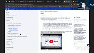
Net Zero and Carbon Credits Tokenization Using Distributed Ledger Technologies
Explore how distributed ledger technology can revolutionize carbon credit markets, enhancing transparency and traceability for enterprise carbon offset initiatives using drone-based remote sensing.
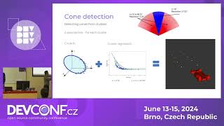
Design and Development of Autonomous Racecar
Explore autonomous racecar development: perception, localization, mapping, path planning, and vehicle control. Gain insights into creating self-driving vehicles using advanced technologies.

The Key to Remote Vehicle Control - Autonomous Driving Domain Controller
Explore security risks in autonomous driving controllers, including hardware structure, testing methods, and potential vulnerabilities. Learn to extract AI models and control vehicles remotely.
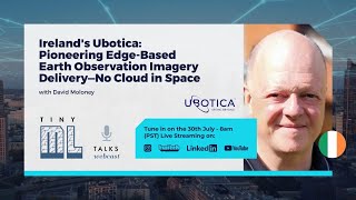
Ireland's Ubotica - Pioneering Edge-Based Earth Observation Imagery Delivery
Transforming Earth Observation: Ubotica's edge-based model delivers imagery updates to user handsets in minutes, revolutionizing the field with faster, more efficient data consumption.
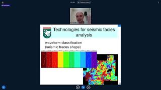
Applied Geophysics New Technologies - Part 5
Explore cutting-edge technologies in applied geophysics, focusing on innovative approaches and advancements in the field.
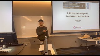
Efficient 3D Perception for Autonomous Vehicles
Explore cutting-edge techniques for efficient 3D perception in autonomous vehicles, including multi-sensor fusion, accelerated view transformation, and real-time performance on edge GPUs.

Programming for the Planet - Functional Programming for Climate Analysis
Explore functional programming's role in building resilient systems for climate analysis, emphasizing data handling, access control, and interdisciplinary collaboration for conservation impact.
Hybrid and Causal Machine Learning in the Earth Sciences - Lecture 36
Explore hybrid and causal machine learning applications in Earth sciences, focusing on advanced AI techniques for environmental data analysis and modeling.
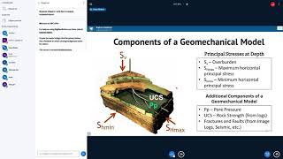
Applied Geophysics: New Technologies - Part 2
Explore cutting-edge technologies in applied geophysics, advancing your understanding of modern geological exploration techniques and their practical applications.
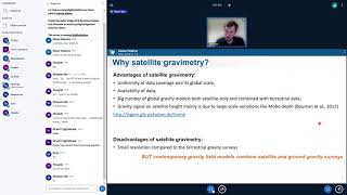
Applied Geophysics New Technologies - Part 6
Explore cutting-edge technologies in applied geophysics, advancing your understanding of modern geological exploration techniques and their practical applications.
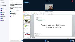
Applied Geophysics New Technologies - Part 5
Explore cutting-edge technologies in applied geophysics, advancing your understanding of modern geological exploration techniques and their practical applications.
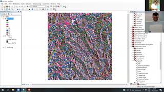
Применение линеаментного анализа для изучения геодинамического состояния недр - Часть 1
Изучите геодинамическое состояние недр с помощью линеаментного анализа. Освойте методы и принципы этого подхода для оценки структуры земной коры.
Big Questions in Lunar Science and Exploration
Explore key lunar science questions and discoveries with Dr. Parvathy Prem, covering topics from remote sensing to polar volatiles and impact cratering.
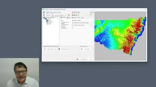
Using GDAL Virtual File System in ProRaster - Accessing Cloud and Compressed Raster Data
Master GDAL Virtual File System to access compressed archives and cloud-stored rasters, including ZIP, FTP, URL, Google Drive, and AWS S3 integration for efficient geospatial data management.
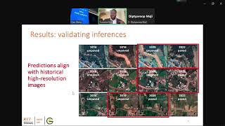
Paved with Good Reflections: Road Quality Mapping with Multispectral Satellite Imagery
Discover how multispectral satellite imagery can be leveraged to assess and map road quality conditions, enabling efficient infrastructure monitoring and maintenance planning across different regions.

Using Space Technology to Solve Nigeria’s Socioeconomic Problems | Temidayo Oniosun | TEDxAjah
In this talk, Temidayo posits that space technology can help solve Nigeria’s urgent socioeconomic challenges. He highlights Nigeria’s growing space industry, satellite capabilities, and local innovations, showing how space data can support agriculture, environmental protection, security, urban plann