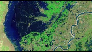
Mapping the 2022 Indus Valley Flood Using ProRaster Scientific - Pakistan
Map the 2022 Indus Valley Flood using ProRaster Scientific. Learn to process satellite imagery, create custom water indices, and integrate multi-temporal data for comprehensive flood extent analysis.

NDVI Analysis and Biomass Proxy Calculation for Coorabulka Station Using ProRaster Scientific
Perform real-time vegetation change analysis using ProRaster Scientific 2.2.03. Process Landsat imagery, compute NDVI, transform data, and visualize results for Coorabulka Station over 10 years.
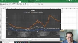
NDVI Analysis for Vegetation Change at Coorabulka Station - Part 6
Analyze temporal vegetation statistics using Excel, interpret graphs, and create a biomass proxy measure for Coorabulka Station's carrying capacity assessment.
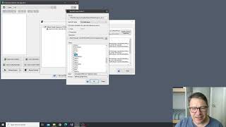
NDVI Analysis and Product Processing in ProRaster Scientific - Part 4
Aprenda a construir cascatas de processamento de produtos para calcular NDVI, recortar polígonos e computar estatísticas temporais usando ProRaster Scientific para análise de vegetação.
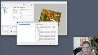
Wooroloo Fire Scar Analysis Using ProRaster Scientific
Analyze Wooroloo fire scar using Landsat data, ProRaster Scientific software, and advanced geospatial techniques. Learn to create scene sequences, compute indices, and generate statistics.
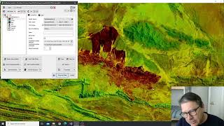
Tjoritja Fire Scar Analysis Using ProRaster Scientific
Analyze Tjoritja fire scar using Landsat imagery and ProRaster Scientific. Learn to build branched processing chains, compare indices, and create final map renderings.
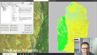
Building Advanced Collated Mosaic Sequences for NDVI Analysis - Part 3
Explore advanced Collated Mosaic Sequence creation in ProRaster Scientific for enhanced temporal vegetation analysis of Coorabulka Station using Landsat imagery and NDVI calculations.
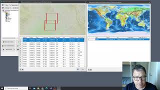
Building Mosaics and Collated Mosaic Sequences for NDVI Analysis - Part 2
Aprenda a criar mosaicos e sequências de mosaicos colados usando ProRaster Scientific para análise de vegetação em Coorabulka Station, Queensland, ao longo de um ano.
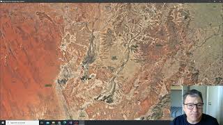
NDVI Analysis Using ProRaster Scientific - Coorabulka Station Case Study - Part 1
Explore vegetation change analysis using ProRaster Scientific, focusing on Coorabulka Station. Learn to build Landsat scene databases, create mosaics, and compute NDVI for comprehensive environmental monitoring.
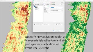
Quantifying Vegetation Health at Macquarie Island Before and After Pest Species Eradication
Analyze vegetation health on Macquarie Island using Landsat imagery and ProRaster Scientific to assess the impact of pest eradication on ecosystem recovery.
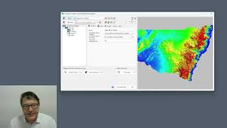
Using GDAL Virtual File System in ProRaster - Accessing Cloud and Compressed Raster Data
Master GDAL Virtual File System to access compressed archives and cloud-stored rasters, including ZIP, FTP, URL, Google Drive, and AWS S3 integration for efficient geospatial data management.