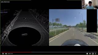
Trust Region Based Adversarial Attack on Neural Networks
Explore trust region optimization for adversarial attacks on neural networks, covering various attack methods and their applications in computer vision and object detection.

Explicando el Sistema de un Vehículo Autónomo con Python
Desmitificación del funcionamiento de vehículos autónomos usando Python. Exploración de frameworks como ROS, comunicación entre sensores y conceptos de ingeniería de software para sistemas en tiempo real.
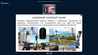
Методы лазерного сканирования при проектных и изыскательных работах - Часть I
Изучите методы лазерного сканирования для проектных и изыскательных работ, повышая эффективность и точность в геодезии и картографии.
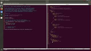
Creating Intelligent Machines with the Isaac SDK - NVIDIA Webinar
Learn to program, simulate, and deploy robotic applications using NVIDIA's Isaac SDK. Covers codelets, compute-graphs, simulation testing, and Jetson deployment, with hands-on examples and Q&A.

Getting Started with LIDAR
Explore LIDAR technology with Arduino: learn about TF Mini for distance measurement and RPLIDAR for 360-degree scanning, perfect for robotics enthusiasts and makers.
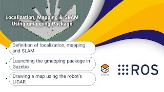
Localization, Mapping & SLAM Using Gmapping Package - ROS Tutorials for Beginners
Explore localization, mapping, and SLAM in robotics. Learn to use Turtlebot3's gmapping package in Gazebo for creating global maps with LIDAR, combining theory and hands-on practice.

How Do We Add LIDAR to a ROS Robot?
Learn to integrate LIDAR into ROS robots, covering URDF modifications, Gazebo simulation, and real hardware integration. Gain practical insights for enhancing robot perception capabilities.
Using a Lidar for Robot Navigation in a Room
Explore LASER rangefinder integration for autonomous robot navigation, including Linux requirements and control software. Learn techniques for 3D mapping and obstacle avoidance on embedded Linux platforms.
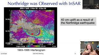
Seeing Smaller, Larger, Deeper but Thinking Bigger - Imaging the Earth's Surface
Explore advanced imaging techniques for Earth's surface, from microscopic details to vast landscapes, enhancing our understanding of geological processes and environmental changes.
Validation of Arctic Summer Sea Ice Heights with Space and Airborne Lidar Technologies
Explore Arctic sea ice height validation using space and airborne lidar technologies. Gain insights into data acquisition, analysis methods, and preliminary findings from a NASA-UT Austin collaboration.

Recognizing Sports Exercises Using a Time of Flight Sensor and NanoEdge AI Studio
Program a microcontroller to recognize and count sports movements using a Time-of-Flight sensor and NanoEdge AI Studio. Explore AI integration for embedded systems with STM32 microcontrollers.
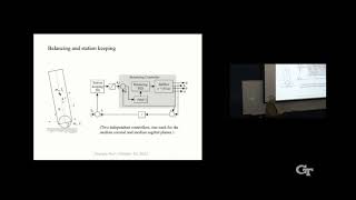
Ballbots: Development, Principles, and Applications
Explore the development, principles, and applications of ballbots - single-wheeled mobile robots. Learn about their mechanics, control systems, and potential uses in human environments.
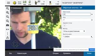
Методы Лазерного Сканирования при Проектных и Изыскательских Работах
Освойте передовые методы лазерного сканирования для проектирования и изысканий, повышая эффективность и точность ваших геодезических работ.
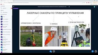
Лазерные методы сканирования
Изучите современные лазерные методы сканирования для геологических исследований и нефтегазовых технологий. Повысьте эффективность в области геологии.
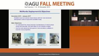
Comprehensive Meteorological Study of Antarctica - AWARE Project Overview
Comprehensive meteorological study of West Antarctica using advanced equipment to collect crucial data on climate change trends, cloud properties, and atmospheric conditions in this rapidly warming region.
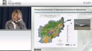
Frontiers of Geophysics - Advances in Earth Science Technologies
Explore cutting-edge geophysical technologies and their applications in earth sciences, from LiDAR to atmospheric rivers, with insights from USGS Director Marcia McNutt.
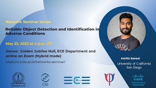
Reliable Object Detection and Identification in Adverse Conditions
Explore radar-based perception systems for autonomous vehicles, focusing on reliable object detection in adverse weather conditions and multi-sensor fusion techniques for enhanced safety.

Questions About Self Driving Cars
Comprehensive overview of autonomous vehicles, addressing 16 key questions on technology, business, insurance, and social implications. Explores future developments and potential impacts.
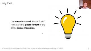
Driving with Attention
Explore innovative sensor fusion techniques for autonomous driving, focusing on TransFuser and NEAT models that leverage attention mechanisms to improve perception and decision-making in complex traffic scenarios.

Autonomous Driving: Technology, Benefits, and Challenges
Explore self-driving car technology, including autonomy levels, sensors, AI systems, and their impact on transportation. Gain insights into cutting-edge research projects in autonomous driving.
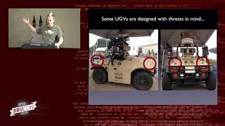
Hacking Driverless Vehicles
Exploring vulnerabilities in autonomous vehicles: sensors, decision profiles, and potential exploits. Insights into connected vehicle programs and their security implications for future transportation systems.