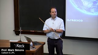
NISAR: The Next Phase in Remote Sensing of the Earth
Explore NISAR satellite mission's advanced Earth remote sensing capabilities, focusing on solid Earth science, hydrology, and disaster assessment with Prof. Mark Simons.

State-of-the-Art AI-Driven Solar PV Generation Forecasts - Data Learning
Explore cutting-edge AI techniques for forecasting solar PV generation, presented by Jacob Bieker from Open Climate Fix. Gain insights into innovative approaches in renewable energy prediction.

Recognizing Sports Exercises Using a Time of Flight Sensor and NanoEdge AI Studio
Program a microcontroller to recognize and count sports movements using a Time-of-Flight sensor and NanoEdge AI Studio. Explore AI integration for embedded systems with STM32 microcontrollers.
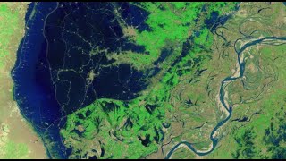
Mapping the 2022 Indus Valley Flood Using ProRaster Scientific - Pakistan
Map the 2022 Indus Valley Flood using ProRaster Scientific. Learn to process satellite imagery, create custom water indices, and integrate multi-temporal data for comprehensive flood extent analysis.
NDVI Analysis and Biomass Proxy Calculation for Coorabulka Station Using ProRaster Scientific
Perform real-time vegetation change analysis using ProRaster Scientific 2.2.03. Process Landsat imagery, compute NDVI, transform data, and visualize results for Coorabulka Station over 10 years.
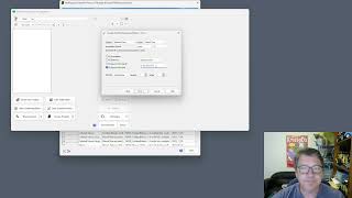
Create Product Sequence Wizard in ProRaster Scientific 2.2 - Tutorial
Turbocharge productivity with the new "Create Product Sequence" wizard in ProRaster Scientific 2.2. Easily create and edit multispectral satellite imagery product sequences, eliminating time-consuming individual product creation.
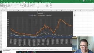
NDVI Analysis for Vegetation Change at Coorabulka Station - Part 6
Analyze temporal vegetation statistics using Excel, interpret graphs, and create a biomass proxy measure for Coorabulka Station's carrying capacity assessment.
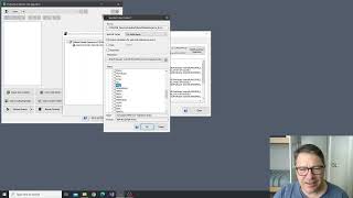
NDVI Analysis and Product Processing in ProRaster Scientific - Part 4
Aprenda a construir cascatas de processamento de produtos para calcular NDVI, recortar polígonos e computar estatísticas temporais usando ProRaster Scientific para análise de vegetação.
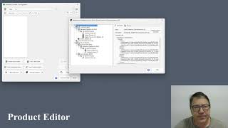
The Multispectral Product Editor in ProRaster Scientific - Tutorial
Explore virtual processing cascades for multispectral satellite imagery using ProRaster Scientific's product editor. Master operations, execution control, and advanced features for efficient data analysis.
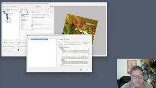
Wooroloo Fire Scar Analysis Using ProRaster Scientific
Analyze Wooroloo fire scar using Landsat data, ProRaster Scientific software, and advanced geospatial techniques. Learn to create scene sequences, compute indices, and generate statistics.
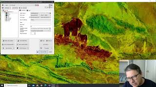
Tjoritja Fire Scar Analysis Using ProRaster Scientific
Analyze Tjoritja fire scar using Landsat imagery and ProRaster Scientific. Learn to build branched processing chains, compare indices, and create final map renderings.
Working with Spot7 Multispectral Satellite Data in ProRaster Scientific
Manually import and analyze Spot7 multispectral satellite data in ProRaster Scientific for vegetation studies using high-resolution spectral bands and NDVI rendering techniques.
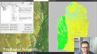
Building Advanced Collated Mosaic Sequences for NDVI Analysis - Part 3
Explore advanced Collated Mosaic Sequence creation in ProRaster Scientific for enhanced temporal vegetation analysis of Coorabulka Station using Landsat imagery and NDVI calculations.
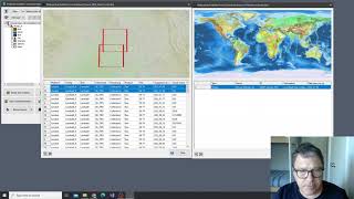
Building Mosaics and Collated Mosaic Sequences for NDVI Analysis - Part 2
Aprenda a criar mosaicos e sequências de mosaicos colados usando ProRaster Scientific para análise de vegetação em Coorabulka Station, Queensland, ao longo de um ano.
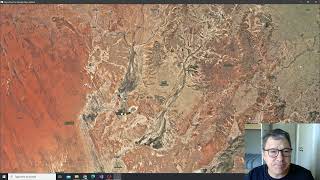
NDVI Analysis Using ProRaster Scientific - Coorabulka Station Case Study - Part 1
Explore vegetation change analysis using ProRaster Scientific, focusing on Coorabulka Station. Learn to build Landsat scene databases, create mosaics, and compute NDVI for comprehensive environmental monitoring.
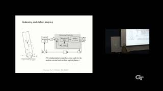
Ballbots: Development, Principles, and Applications
Explore the development, principles, and applications of ballbots - single-wheeled mobile robots. Learn about their mechanics, control systems, and potential uses in human environments.
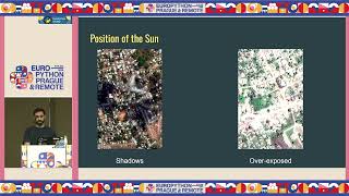
Earth Observation through Large Vision Models
Explore Earth observation using large vision models for infrastructure planning and disaster response. Learn to access satellite datasets, fine-tune models, and apply zero-shot classification and image translation techniques.
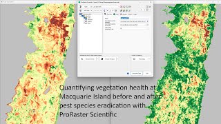
Quantifying Vegetation Health at Macquarie Island Before and After Pest Species Eradication
Analyze vegetation health on Macquarie Island using Landsat imagery and ProRaster Scientific to assess the impact of pest eradication on ecosystem recovery.
Generative Models for Satellite Image Analysis
Explore generative models for analyzing satellite imagery, enhancing understanding of Earth observation data and its applications.
Generative Models for Satellite Image Analysis
Explore generative models for analyzing satellite imagery, enhancing understanding of Earth observation data and its applications.
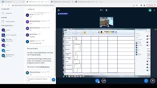
ГИС - Лекция от 12.10.2022
Изучите основы географических информационных систем (ГИС) с экспертом Платовым Б.В. Освойте ключевые концепции и практические навыки работы с ГИС-технологиями.