OSINT at Home - Tutorials on Digital Research, Verification and Open Source Investigations
Learn digital investigation techniques, from image reverse search to geolocation and chronolocation. Develop OSINT skills for verifying social media content and conducting open-source research, applicable to journalism, human rights, and intelligence ana…

Global Climate and the Coriolis Force - Lecture 13
Explore Earth's atmospheric circulation, Coriolis force, and geostrophic balance. Understand climate dynamics, cloud patterns, and the impact of Earth's rotation on global weather systems.

Introduction to Atmospheres - Earth's Climate System
Explore Earth's climate system through atmospheric and oceanic studies, with a focus on Hurricane Irene's impact and the fundamental nature of our atmosphere.
Can Citizen Science Save the World? - Many Hands in Scientific Research
Explore the impact of citizen science projects, including coastal monitoring, and their potential to revolutionize scientific research and environmental conservation efforts.
Enabling Spectral Indices Computation with SpectralIndices.jl
Explore SpectralIndices.jl, a Julia package simplifying spectral indices computation in remote sensing. Learn its features, data compatibility, and user-friendly interface for efficient Earth system research analysis.
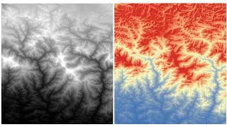
RS-GIS Data Download
Learn to download and process various geospatial datasets, including DEMs, climate data, soil maps, satellite imagery, and more. Gain skills in data acquisition and preparation for GIS analysis.
Et si les solutions de demain venaient de l'espace ? - Innovations spatiales pour défis terrestres
Découvrez comment l'innovation spatiale et l'analyse des données satellitaires peuvent résoudre des défis locaux, du réchauffement climatique à l'agriculture durable, en apportant des solutions concrètes aux populations.
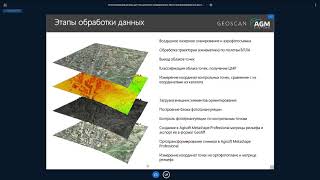
Методика комплексного использования материалов ДЗЗ на примере ПО ГИС Спутник - Часть I
Освойте комплексное использование данных дистанционного зондирования Земли с помощью ГИС Спутник в этом практическом руководстве.
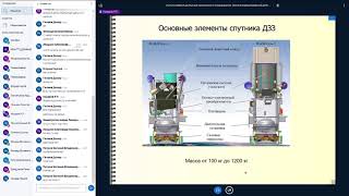
Работа с материалами ДЗЗ из космоса - Часть I
Освойте основы дистанционного зондирования Земли из космоса и научитесь работать с полученными данными в первой части курса.
Методика комплексного использования материалов ДЗЗ на примере ПО ГИС Спутник - Часть II
Освойте комплексное использование данных дистанционного зондирования Земли с помощью ГИС Спутник в практическом видеоуроке.

Работа с материалами ДЗЗ из космоса - Часть 2
Освойте передовые методы обработки и анализа космических снимков для решения практических задач дистанционного зондирования Земли.
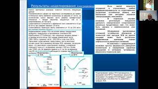
Комплексный анализ данных дистанционных зондирований, геохимических, геофизических исследований - Часть II
Изучите методы комплексного анализа данных дистанционного зондирования, геохимии и геофизики для эффективного исследования земной поверхности.
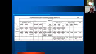
Комплексный анализ данных дистанционных зондирований и космогеологических исследований - Часть I
Изучите методы комплексного анализа данных дистанционного зондирования и космогеологических исследований для эффективного применения в геологии.
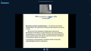
Обзор основных методов дистанционного зондирования Земли
Изучите основные методы дистанционного зондирования Земли и их применение в современных геоинформационных технологиях.
How to Use Satellite Imagery to Be a Machine - Sean Patrick Gorman, PhD | ODSC West 2018
Explore satellite imagery analysis using Jupyter notebooks, learn to extract valuable information, and develop ML models for processing Earth observation data.
Deep Learning Workshop for Satellite Imagery - Training & Prediction
Hands-on deep learning workshop for satellite imagery, covering model training, debugging, prediction, and advanced techniques like custom metrics, heatmaps, and model deployment.
Deep Learning Workshop for Satellite Imagery - Data Processing
Hands-on workshop on data processing for satellite imagery, covering fundamentals, Python processing, image manipulation, and preparation of training data for deep learning applications.
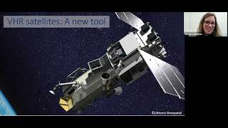
Spying on Whales and Walrus From Space to Safeguard Their Future
Discover how satellite imagery is revolutionizing whale and walrus conservation by enabling remote monitoring in hard-to-reach areas, filling crucial knowledge gaps for their protection.
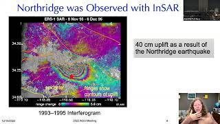
Seeing Smaller, Larger, Deeper but Thinking Bigger - Imaging the Earth's Surface
Explore advanced imaging techniques for Earth's surface, from microscopic details to vast landscapes, enhancing our understanding of geological processes and environmental changes.
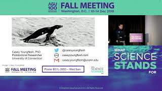
Penguins from Space - New Findings on Antarctic Supercolony
Scientists present new findings on Antarctic penguin supercolony discovered via satellite imagery, including unpublished data on colony age and refined techniques for studying penguins from space.
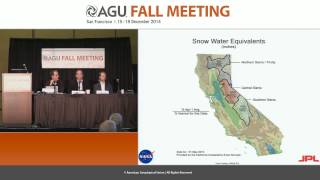
California's Epic Drought as Viewed from Space - Fall 2014
Explore California's severe drought through space-based observations, examining water storage, groundwater depletion, and snowpack changes using advanced geodetic sensors and satellite data.