NASA's Worldview: Creating Custom Maps and Animations with Satellite Data
Hands-on workshop teaching how to create custom maps and animations using NASA's satellite imagery to visualize environmental changes, disasters, and air quality.
Sensing the Whole - Big Data, Big Indicators and the Future of Planetary Health
Explore emerging tools like satellite imagery and analytics that reveal complex relationships between people and the planet, enabling new approaches to planetary health and social wellbeing.
How Researchers Can Turbocharge Investigative Journalism
Explore how AI and digital information revolutionize investigative journalism, exposing wrongdoing and debunking disinformation through landmark case studies and cutting-edge techniques.
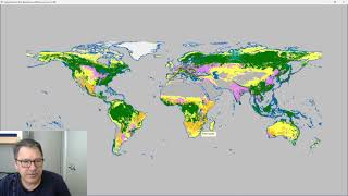
Classify Raster Operation in ProRaster Scientific - Deep Dive Tutorial
Explore ProRaster Scientific's Classify operation for raster data processing. Learn to classify continuous rasters, reclassify existing data, handle pyramid issues, and perform advanced classifications with practical examples.
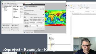
Introducing the Processing Menu in ProRaster Scientific
Discover new Raster Processing operations in ProRaster Scientific, enabling immediate visualization of huge raster outputs without execution. Learn export, statistics, join, clip, mask creation, reprojection, and more.
Geological Field Mapping with ArcGIS Pro and Discover Mobile
Explore ArcGIS Pro and Discover Mobile for geological field mapping. Learn to centralize project data, capture structural points, view live trends, and interpret outcrops efficiently.
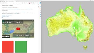
Comparing GLO-30, MERIT DEM, and Australian DEM in ProRaster Scientific - Australia Flyover
Explore Australia's diverse landscapes through a comparison of GLO-30, MERIT DEM, and Hydrologically Enforced DEM datasets using ProRaster Scientific software.
Harnessing Open Source Tools for Cloud-based Geospatial Analysis
Explore open-source tools for cloud-based geospatial analysis using satellite data. Learn to leverage platforms like Google Earth Engine for environmental applications and gain insights into planetary-scale changes.
Building a Spacetech Startup from India
Explore the journey of building a spacetech startup in India, from identifying market gaps to leveraging satellite data for innovative solutions across various sectors.
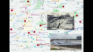
A Linear Program for Points of Interest Relocation in Adaptive Maps
Explore an innovative linear program for relocating points of interest in adaptive maps, enhancing cartographic visualization and user experience.
Applying Structure-from-Motion Photogrammetry to High-Resolution Terrain Modeling of Barva Volcano's Southeastern Parasitic Cones
Explore high-resolution terrain modeling of Barva Volcano using Structure-from-Motion photogrammetry in this Master's Capstone Defense presentation.
Dangerous While Asleep: Applying UAV-facilitated Photogrammetry to the Formant Barva Volcano
Explore UAV-facilitated photogrammetry techniques for studying the dormant Barva Volcano, enhancing our understanding of volcanic structures and potential hazards.
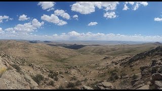
Geology and Seismic Potential of the Hustain Fault, Mongolia
Explore the Hustain fault near Ulaanbaatar through geologic investigation highlights. Learn about basin closure models, stratigraphy, remote sensing analysis, and various subareas, with insights on fault characteristics and kinematic indicators.
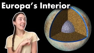
Europa's Core, Mantle, and Water Shell - What We Know and How We Know It
Explore Europa's interior structure, formation, and evidence for a liquid ocean through gravity science, geology, and magnetic field data. Learn about ongoing research and future missions.

Glacial Mars and Its Morphological Mysteries
Explore Mars' glacial landscapes, recent ice history, and morphological mysteries. Dr. Frances Butcher discusses glaciation, meltwater, and intriguing features like eskers and inverted channels on the Red Planet.
Science on Tap: Secrets of Seagrass Part 2
Explore seagrass ecosystems, their importance, and challenges they face. Learn about different species, habitat restoration, and cutting-edge research techniques in marine conservation.
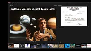
Carl Sagan Lecture Series - Introduction to Planetary and Earth Science
Explore planetary science through Carl Sagan's vision, covering NASA missions, Earth's atmosphere, climate change, and space exploration. Gain insights from a NASA scientist on Sagan's enduring influence.
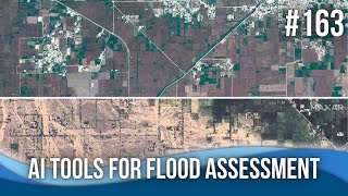
AI Tools for Flood Assessment and Modeling
Explore cutting-edge AI tools for flood assessment and modeling, including rapid analysis of dam breaches, satellite imagery interpretation, and GIS plugins for efficient flood mapping and impact prediction.
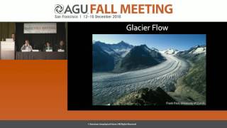
Mapping the Flow of Ice Around the Globe - New Database for Tracking Global Ice Velocity
Scientists discuss a new database tracking global ice velocity using NASA/USGS Landsat satellites, providing insights into glacier melting, sea level rise, and seasonal changes in ice movement due to climate change.
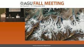
Attributing Mountain Glacier Retreat to Climate Change
New method for assessing glacier retreat and its link to climate change. Researchers present findings on individual glacier changes and their implications for freshwater sources and climate indicators.
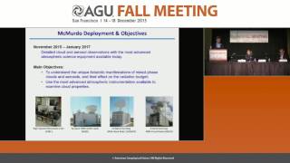
Comprehensive Meteorological Study of Antarctica - AWARE Project Overview
Comprehensive meteorological study of West Antarctica using advanced equipment to collect crucial data on climate change trends, cloud properties, and atmospheric conditions in this rapidly warming region.