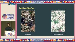
Earth Observation through Large Vision Models
Explore Earth observation using large vision models for infrastructure planning and disaster response. Learn to access satellite datasets, fine-tune models, and apply zero-shot classification and image translation techniques.
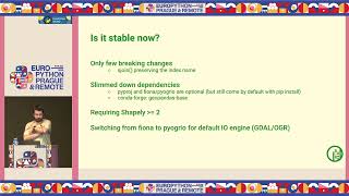
GeoPandas 1.0 and Beyond - New Features and Future Developments
Explore GeoPandas 1.0's new features, ecosystem developments, and future plans for geospatial data analysis in Python. Learn about recent changes and upcoming enhancements to prepare your code.
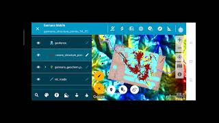
Discover Mobile - MapInfo Workflow
Explore the Discover Mobile - MapInfo workflow in this concise video, enhancing your understanding of mobile mapping techniques.
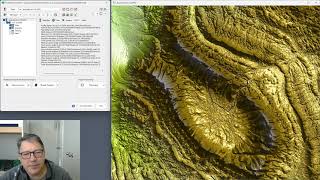
ProRaster Scientific 2.3.0 - New Features and Tools Tutorial
Explore ProRaster Scientific 2.3.0's new features: map tools, profiling, layer management, and image comparison. Master advanced geospatial analysis techniques for enhanced data visualization and interpretation.
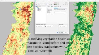
Quantifying Vegetation Health at Macquarie Island Before and After Pest Species Eradication
Analyze vegetation health on Macquarie Island using Landsat imagery and ProRaster Scientific to assess the impact of pest eradication on ecosystem recovery.
Generative Models for Satellite Image Analysis
Explore generative models for analyzing satellite imagery, enhancing understanding of Earth observation data and its applications.
Generative Models for Satellite Image Analysis
Explore generative models for analyzing satellite imagery, enhancing understanding of Earth observation data and its applications.
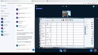
ГИС - Лекция от 12.10.2022
Изучите основы географических информационных систем (ГИС) с экспертом Платовым Б.В. Освойте ключевые концепции и практические навыки работы с ГИС-технологиями.
Geographic Information Systems (GIS) - Part 2
Изучите основы геоинформационных систем (ГИС) и их применение в геологии и нефтегазовой отрасли. Получите практические навыки работы с ГИС-технологиями.
Работа с материалами ДЗЗ из космоса - Часть 3
Освойте передовые методы обработки и анализа космических снимков для решения задач дистанционного зондирования Земли.
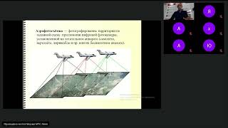
Дистанционное зондирование - 12.10.2023
Изучите основы дистанционного зондирования и его применение в геологии и нефтегазовых технологиях. Повысьте свою квалификацию в этой перспективной области.
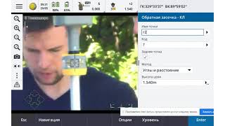
Методы Лазерного Сканирования при Проектных и Изыскательских Работах
Освойте передовые методы лазерного сканирования для проектирования и изысканий, повышая эффективность и точность ваших геодезических работ.
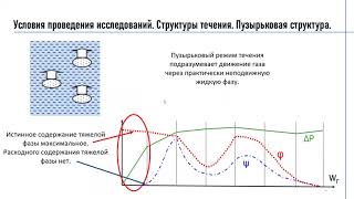
Роль информационных систем ГИС контроля при разработке месторождения - Задачи, объекты и классификация
Изучите роль, задачи и классификацию информационных систем ГИС-контроля в разработке месторождений.
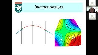
Основы прикладной геостатистики: Интерполяция, экстраполяция, аппроксимация и вариограммный анализ - Часть 2
Изучите основы прикладной геостатистики, включая интерполяцию, экстраполяцию, аппроксимацию и вариограммный анализ.
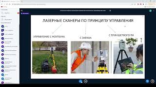
Лазерные методы сканирования
Изучите современные лазерные методы сканирования для геологических исследований и нефтегазовых технологий. Повысьте эффективность в области геологии.
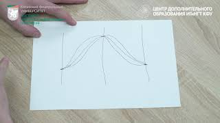
Основы прикладной геостатистики
Изучите основы прикладной геостатистики для анализа пространственных данных и моделирования геологических процессов.
Working with Geotiff Files Using Rasterio in Python - Also Quick Demo of NDVI Calculation
Learn to manipulate geotiff files using rasterio in Python, including reading, plotting, and performing NDVI calculations. Gain practical skills for working with satellite imagery and geospatial data analysis.
Bridging Gaps Between Geospatial Data, Cloud Computing, and Local Disaster Organizations
Explore geospatial data integration for disaster response, covering UI challenges, rapid data delivery, and field-ready solutions using AWS, edge computing, and various data sources.
Modelling and Predicting Climate Change
Explore innovative methods for monitoring and predicting climate change, from Antarctic sea ice to forest ecosystems, with leading environmental scientists using AI and data science.
The Defence Context - Geospatial Standards for Data Science
Explore geospatial standards in data science for defense, covering interoperability, machine learning, and emerging technologies to enhance information sharing and decision-making.

Bringing Satellite and Drone Imagery into Data Science Workflows
Explore satellite and drone imagery analysis in data science workflows using RasterFrames, a Spark SQL extension with Python API for processing spatial image data and integrating with ML frameworks.