Perfect Storms: A Regional Earth System Modeling Platform for Coastal Hazards in the Gulf of Mexico
Explore a Regional Earth System Model for Gulf of Mexico coastal hazards, integrating atmospheric, oceanic, and river processes to analyze and manage climate-related disasters.
Modeling Nearshore Stratigraphic Response to Structural Deformation
Explore nearshore stratigraphic evolution due to tilting using coupled landscape-stratigraphic models. Discover how sediment supply and tectonic forces shape basin-margin facies and depositional patterns.
An Overview of WGRFC Capabilities - Weather, Hydrology, and Communication in River Forecasting
Explore weather forecasting and hydrology concepts used by the West Gulf River Forecast Center to provide accurate and timely forecasts for public safety.
Sediment Transport over Complex Salt Topography: Fill and Spill Revisited
Explore sediment transport in complex salt topographies, focusing on 3D structural analysis and evolving spill points. Gain insights into predicting facies arrangements and reservoir connectivity.
Composite Confining Systems: Rethinking Petroleum Seals for CO2 Storage
Explore composite confining systems for CO2 storage, offering ultra-secure storage through dispersal and attenuation of CO2. Learn about rethinking traditional petroleum seals for climate change mitigation.
Statistics and Attributes of Earthquakes Across Texas
Explore Texas earthquake patterns, causes, and risks across major basins, examining man-made seismicity, injection types, and geological factors influencing unexpected seismic events.
Structural Geology and Crustal Evolution of the Sierra Madre Oriental During the Mexican Orogeny
Explore the structural geology of Mexico's Sierra Madre Oriental, examining crustal evolution, folding processes, and tectonic implications during the Mexican Orogeny between 80-47 Ma.
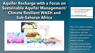
Aquifer Recharge and Sustainable Aquifer Management - Climate Resilient WASH and Sub-Saharan Africa
Explore sustainable aquifer management techniques for climate-resilient water systems in Sub-Saharan Africa, focusing on recharge methods and long-term sustainability.
Insights from GRACE Satellites on Global Water Resources
Explore GRACE satellite data's impact on global hydrology, revealing water storage changes, groundwater depletion, and climate-human interactions. Learn how this technology influences water policy worldwide.
Origins and Habitats of Super-Giant Fields
Explore the geological events and processes that form super-giant oil and gas fields, focusing on trap formation, sag events, and their impact on field size and hydrocarbon accumulation.
The Hit-and-Run Model for the Sevier and Laramide Orogenies of Western North America
Explore the Hit-and-Run Model's application to Western North American orogenies, examining geological processes and structural implications for the Sevier and Laramide events.
The Texas Permian Superbasin Geomodel: Examples from Reservoir Characterization Studies
Explore advanced techniques for building a comprehensive 3D geological model of the Permian Basin, integrating multidisciplinary workflows and detailed reservoir characterization studies.
Upscaling High-Resolution Core-Based Facies to Basin-Scale Stratigraphic Models
Learn to integrate core-based datasets with wireline logs using machine learning for upscaling high-resolution facies to basin-scale stratigraphic models in the Delaware Basin's Third Bone Spring Sand and Wolfcamp units.
Characterization of Lower Ordovician Ellenburger Dolomite in the Permian Basin
Explore the Lower Ordovician Ellenburger Dolomite's reservoir characteristics, depositional setting, and karst processes. Gain insights into pore networks relevant for waste-water disposal and CO2 storage in the Permian Basin.
Overview of Groundwater Flow in the Middle Trinity and Edwards Aquifers of Central Texas
Explore hydrogeology of Edwards and Trinity Aquifers, focusing on groundwater flow, aquifer interactions, and surface water connections in central Texas.
Recharge Enhancement and Multiport Well Monitoring of the Edwards Aquifer
Explore Edwards Aquifer conservation techniques, including recharge enhancement and multiport well monitoring. Learn about innovative approaches to protect water quality and manage aquifer resources.
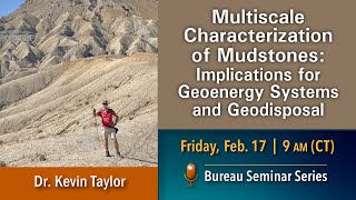
Multiscale Characterization of Mudstones - Implications for Geoenergy Systems and Geodisposal
Explore multiscale characterization of mudstones and its impact on geoenergy systems and geodisposal through advanced techniques and collaborative research.
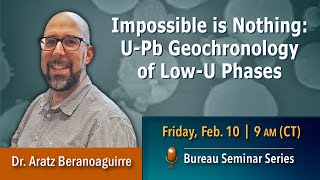
U-Pb Geochronology of Low-U Phases - Expanding the Frontiers of Radiometric Dating
Explore advancements in U-Pb geochronology, focusing on dating low-U minerals using LA-ICPMS techniques. Learn about expanded applications and recent developments in this field.
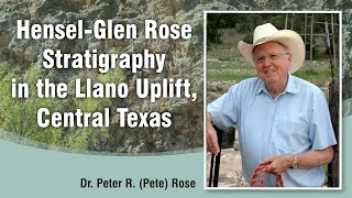
The Lower Cretaceous Hensel-Glen Rose Stratigraphic Couplet in the Llano Uplift, Central Texas
Explore the Lower Cretaceous Hensel-Glen Rose stratigraphic couplet in Central Texas, examining its depositional environments, thickness variations, and paleotopographic influences on the Llano Uplift.
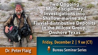
Two Ongoing Investigations into Shallow-Marine and Fluvial-Distributive Deposits in the Wilcox Group
Explore shallow-marine and fluvial-distributive deposits in the Wilcox Group. Gain insights into sedimentology, palynology, and drone photogrammetry techniques used in geological investigations.
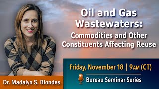
Oil and Gas Wastewaters: Commodities and Constituents Affecting Reuse
Explore new approaches for quantifying reusable produced water, sourcing commodities, and overcoming obstacles in oil and gas wastewater recovery and reuse.