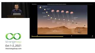
Exploring Deep Space and Deep Ocean with AI Guidance
Discover how AI and ML advance exploration of extreme environments like deep oceans and space, focusing on autonomous decision-making, data collection, and spectroscopy techniques.
Space Technology - A Catalyst for National Development
Explore India's journey in remote sensing and space technology, its impact on national development, and future opportunities in the field with a leading ISRO scientist.

Help Discover Ancient Ruins - Before It's Too Late
Sarah Parcak introduces space archaeology, using satellites to uncover ancient treasures. She discusses the vast potential for discovery and presents GlobalXplorer, an online platform enabling anyone to participate in archaeological exploration.
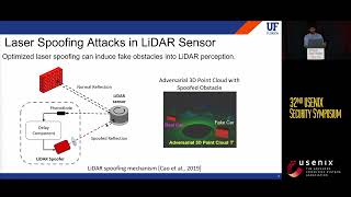
You Can't See Me - Physical Removal Attacks on LiDAR-based Autonomous Vehicles Driving Frameworks
Explores physical removal attacks on LiDAR-based autonomous vehicle systems, demonstrating how to deceive obstacle detectors and impact driving decisions through laser-based spoofing techniques.
Open Source Tools for Publishing and Processing Earth Observation Imagery
Explore open-source tools for accessing and processing satellite imagery data, focusing on Digital Earth Australia and Open Data Cube platforms for government, industry, and research applications.

Integration, Data Sharing, Opensource, and the Agtech Startup Ecosystem
Exploring agtech's potential in Australia: challenges, open data standards, and the importance of interoperability for farmers and developers in the agricultural technology ecosystem.
Eroding Coastlines - A Geospatial & Computer Vision Analysis
Explore satellite imagery and Python tools for geospatial analysis to identify and analyze coastal erosion, addressing a critical environmental and humanitarian challenge.
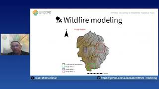
Wildfire Modeling in Yosemite National Park
Explore wildfire simulation in Yosemite using GRASS GIS and Python libraries. Learn to obtain geospatial data, model fire behavior, and create interactive maps with Google Earth Engine and Jupyter Notebook.
Predicting Urban Heat Islands in Calgary
Learn to predict urban heat islands using satellite imagery and geospatial Python libraries. Explore spatial regression methods, data processing, and visualization techniques for sustainable urban planning.
Saving Lives with Predictive Geo - AI
Explore geospatial Python libraries for Multi-Criteria Decision making, including imagery dataset processing, overlay analysis, and zonal statistics. Learn to create intuitive geo-visualization portals using vector tiles.
We Can Get More from Spatial, GIS, and Public Domain Datasets
Explore spatial data analysis and interpolation techniques using pyinterpolate for insights on rental prices, pollution mapping, and socio-economic factors at various scales.
Optimizing for Sustainability - Introduction to Google Cloud's Sustainability Tools
Explore sustainability strategies for startups using Google Cloud. Learn about carbon footprint measurement, sustainability recommendations, and tools like Google Earth Engine to optimize your business.
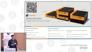
Edge Computing Applications in Smart Agriculture and Mining Automation
Explore how edge computing transforms agriculture and mining through rugged, industrial-grade systems designed for extreme environments, real-time processing, and automated operations.
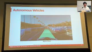
Efficient 3D Perception for Autonomous Vehicles
Explore efficient 3D perception techniques for autonomous vehicles, including multi-sensor fusion, accelerated view transformation, and optimized backbones for real-time performance on edge devices.
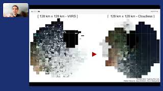
An Inside Look at NASA's SpaceML Worldview Search
Explore NASA's SpaceML Worldview Search with insights from Machine Learning Lead Anirudh Koul, covering innovative applications in space exploration and data analysis.
What AI Can See From Space Is Troubling
Explore the capabilities of Sentient, a top-secret AI system using satellite data to make global predictions, and its potential implications for society and privacy.
Integrating Julia for Perception Tasks in Autonomous Driving
Explore Julia's potential in autonomous driving perception tasks, from LIDAR processing to ML algorithm development and integration in real vehicles.
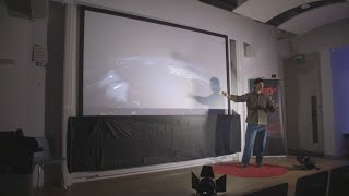
Fixing Election Maps Using Street Lamps
Discover innovative techniques using nighttime satellite imagery to correct visual bias in election mapping and gain insights into spatial data science.

Using Machine Learning to Predict Weather and Climate Risk
Explore machine learning techniques for weather prediction and climate risk analysis using neural networks, satellite imagery, and Google Cloud tools.
Open-world Segmentation and Tracking in 3D
Discover cutting-edge techniques for 3D data detection and segmentation using pseudo-labels, with insights into Lidar applications and Segment Anything technology from NVIDIA expert Laura Leal-Taixé.
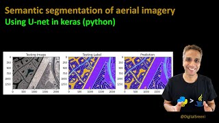
Semantic Segmentation of Aerial Imagery Using U-Net
Learn to preprocess aerial imagery, train U-net for semantic segmentation, and make predictions using Python, focusing on data preparation and model implementation for satellite image analysis.