Penguins from Space - New Findings on Antarctic Supercolony
Scientists present new findings on Antarctic penguin supercolony discovered via satellite imagery, including unpublished data on colony age and refined techniques for studying penguins from space.
Ecological and Remote Sensing Perspectives of the 2017 Atlantic Hurricane Season
Explore remote sensing and ecological insights from the 2017 Atlantic hurricane season through expert presentations on storm impacts, meteorological analysis, and advanced monitoring techniques.
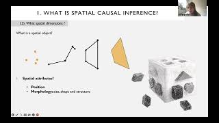
Spatial Causal Inference and Neighborhood Effects
Explore spatial causal inference, interference problems from social interactions, and neighborhood effects in multilevel analyses. Examine agent-based models to question area-level effects and their causal interpretations.
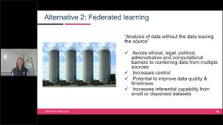
Making Private Data Open and Enhancing Decision-Making Through Digital Atlases
Explore innovative approaches to data sharing, privacy preservation, and decision-making enhancement through digital atlases, focusing on the Australian Cancer Atlas and Bayesian statistical models.
Fire, Food, and Water - 40 Years of Landsat Satellites
Explore 40 years of Landsat satellites' impact on monitoring wildfires, agriculture, and water management. Experts discuss the program's economic value and future in remote sensing.
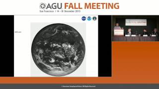
EPIC First Results from the DSCOVR Satellite - Fall Meeting 2015
Researchers present initial findings from NASA's EPIC camera on DSCOVR satellite, showcasing new perspectives on Earth's cloud cover, dust transport, and vegetation from a million miles away.
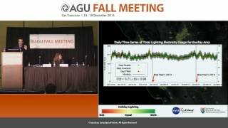
Holidays in Lights - Tracking Culture from Space
Explore how satellite imagery reveals cultural patterns through holiday lighting, offering insights into energy consumption and societal behaviors across different regions.
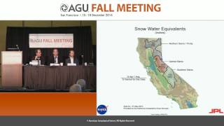
California's Epic Drought as Viewed from Space - Fall 2014
Explore California's severe drought through space-based observations, examining water storage, groundwater depletion, and snowpack changes using advanced geodetic sensors and satellite data.
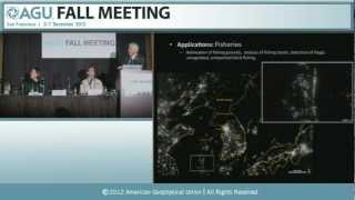
Earth at Night - New Satellite Imagery Reveals Detailed Global View
Unveiling a groundbreaking cloud-free view of Earth at night, revealing new insights into human activity, natural phenomena, and global patterns through advanced satellite imagery and scientific analysis.
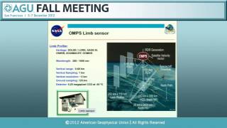
Space-Based Operational Global Earth Observations From NPP and JPSS - 2012
Explore operational applications and initial results from Suomi NPP and JPSS satellites, including sensor performance, data products, and their impact on global Earth observations and weather forecasting.
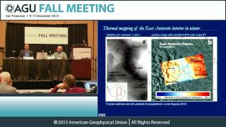
Taking Landsat to the Extreme - Exploring Earth's Coldest Spots
Explore Earth's coldest spots using satellite data, including Landsat 8. Discover record-breaking temperatures, locations, and weather patterns in extreme cold environments.
Using GIS Tools to Understand Host Ecology and Epidemics - Lecture 2
Explore GIS tools for analyzing host ecology and epidemic patterns. Learn to apply spatial analysis techniques to understand disease spread and ecological factors influencing outbreaks.
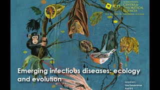
Using GIS Tools to Understand Host Ecology and Epidemics - Lecture 1
Explore GIS tools for analyzing host ecology and epidemic patterns. Learn to apply spatial analysis techniques to understand disease spread and ecological factors influencing outbreaks.
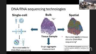
Quantifying Tumor Heterogeneity Across Space and Time
Explore advanced techniques for analyzing tumor heterogeneity spatially and temporally with Dr. Ben Raphael's in-depth presentation on cutting-edge mathematical oncology approaches.
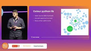
Earth Through the Eye of a Satellite - ISTA Conference Talk
Explore Earth's landscapes through satellite imagery, gaining insights into remote sensing and its applications in environmental monitoring and resource management.
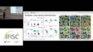
Mapping the Distribution of Seagrass Meadows from Space with Deep Convolutional Neural Networks
Utilize deep convolutional neural networks to map seagrass meadow distribution from satellite imagery, advancing marine ecosystem monitoring and conservation efforts.
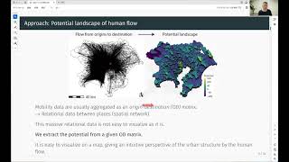
Potential Landscape of Human Flow in Cities
Visualizing urban human flow using combinatorial Hodge theory to create potential landscapes, revealing attractive locations and urban structures for informed decision-making in city planning and development.
High-Altitude Balloons - A Cost-Effective Alternative to Satellites for Earth Observation
Exploring high-altitude balloons as a cost-effective, versatile alternative to satellites for Earth observation, offering applications in vegetation monitoring, disaster response, and infrastructure surveillance.
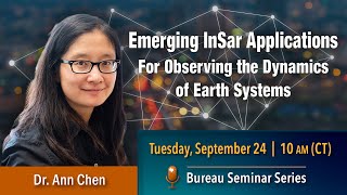
Emerging InSAR Applications for Observing Earth System Dynamics
Explore InSAR applications for Earth observation, including extracting subtle deformation signals and implications for storm surge predictions along the Gulf Coast.
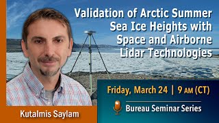
Validation of Arctic Summer Sea Ice Heights with Space and Airborne Lidar Technologies
Explore Arctic sea ice height validation using space and airborne lidar technologies. Gain insights into data acquisition, analysis methods, and preliminary findings from a NASA-UT Austin collaboration.
Improving SWMM Modeling with GIS Tools
Enhance stormwater management with EPA SWMM: Learn its history, use TUFLOW QGIS plugin for efficient data creation, and discover advanced features for streamlined workflows and improved project outcomes.