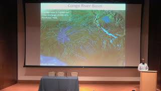
Deforestation and Hydrology in the Congo Basin - Impacts and Monitoring
Explore impacts of deforestation on Congo Basin hydrology, industrial logging expansion, and space-based monitoring techniques. Gain insights from experts on watershed runoff, logging concessions, and forest mapping.
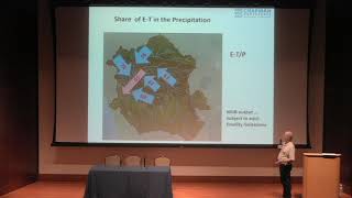
Cuvette Centrale - Hydrological Research in the Congo Basin - 2018 Chapman Conference
Explore hydrological variability in Congo Basin using remote sensing, satellite data, and modeling. Gain insights into surface water dynamics of Cuvette Centrale through expert presentations.
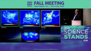
Sentinel-5P Satellite Mission: Monitoring Earth's Atmosphere - Workshop
Explore Sentinel-5P satellite's groundbreaking atmospheric monitoring capabilities, its achievements, and future potential for global air quality research and measurement.
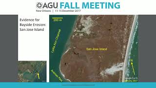
Dynamic Atmosphere, Oceans, and Landscapes - Impacts of the 2017 Atlantic Hurricane Season - Lecture
Explore the impacts of the 2017 Atlantic Hurricane Season on Earth's surface through expert presentations on atmospheric, oceanic, and landscape dynamics.
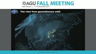
A New Era of Lightning Observations from Space
Explore cutting-edge space-based lightning detection technologies and their impact on atmospheric research, meteorology, and climate studies. Insights from leading experts in the field.
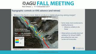
Ice Sheet and Glacier Change: Integrating Methods to Understand Evolution - 2017
Integrating instrumental, geological, and modeling methods to understand ice sheet and glacier evolution, focusing on various locations and their implications for climate change.
From Petabytes to Insights - 2023 AGU Informatics Leptoukh Award Lecture
Explore cutting-edge data analysis techniques for transforming massive scientific datasets into actionable insights in Earth and space sciences.
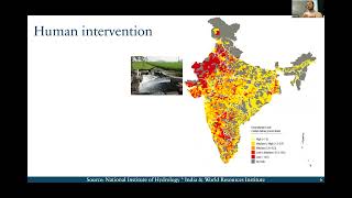
The Sky is Falling - Precipitation Observations and Their Role in Understanding the Earth System
Explore precipitation observations and their impact on Earth system understanding in this seminar for early career atmospheric scientists.
Satellite Data Assimilation - Techniques and Applications
Explore satellite data assimilation techniques for weather and climate modeling, focusing on theory, methods, and practical applications in atmospheric and oceanic sciences.
Data Assimilation and Dynamical Systems in Earth Sciences - Lecture 2
Explore data assimilation in Earth sciences, focusing on dynamical systems and their applications in weather and climate modeling. Learn theoretical foundations and practical implementations.
Data Assimilation and Dynamical Systems in Earth Sciences
Explore data assimilation in Earth sciences, covering theory, methods, and applications in weather, climate, and environmental monitoring. Gain hands-on experience with various techniques and uncertainty estimation.
Ocean Data Assimilation - Lecture 2
Explore advanced ocean data assimilation techniques, their applications in climate modeling, and methods for integrating diverse oceanic observations to improve forecasting accuracy and understanding of marine systems.
Ocean Data Assimilation - Applications in Weather and Climate Models
Explore ocean data assimilation techniques, their applications in monitoring and understanding climate variability, and integration with atmospheric and land surface studies.

Unleashing the Power of Satellites - Understanding Climate Change
Explore how satellite observations and metrological approaches provide crucial data for monitoring climate change and progress towards Net Zero, including the groundbreaking TRUTHS mission.
Change and Resilience in Ukraine's Agricultural Landscapes During Conflict
Experts discuss the impact of Russia's invasion on Ukraine's agriculture, using remote sensing and AI to observe land use changes, and examining environmental effects for future recovery efforts.
Bayesian Phylogeography Along a Continuum: Sampling Its Way in a Random Walk
Explore Bayesian phylogeography techniques for analyzing species distribution patterns using continuous spatial models and random walk sampling methods.
Applying AI to HEC-RAS Modeling Workflows
Explore AI-powered coding for HEC-RAS workflows, including terrain modifications, custom data exports, and GIS scripts. Learn to leverage ChatGPT's code interpreter for efficient hydraulic modeling tasks.
The Sky Isn't the Limit - It's Just the Beginning
Explore space from your phone, capture stunning photos, and conduct experiments. Discover how accessible space technology can ignite new ideas and innovations for everyone.
Interpretation from Space: Salt Tectonics and Deposition in Iran Using Remote-Sensing Imagery
Explore salt tectonics and deposition in Iran through remote-sensing imagery, revealing unique geological structures and modern depositional systems as analogs for ancient formations.
Insights from GRACE Satellites on Global Water Resources
Explore GRACE satellite data's impact on global hydrology, revealing water storage changes, groundwater depletion, and climate-human interactions. Learn how this technology influences water policy worldwide.
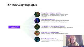
Innovative Biomarker Spatial Analysis for Comprehensive Tissue Immunophenotyping
Explore advanced tissue-based technologies for biomarker identification and disease prognosis using multiplex immunofluorescence assays and complex image analysis techniques.