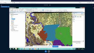
ArcGIS Desktop III - Рабочие процессы и анализ - Часть II
Изучите продвинутые рабочие процессы и методы анализа в ArcGIS Desktop для улучшения геопространственных проектов и принятия решений.
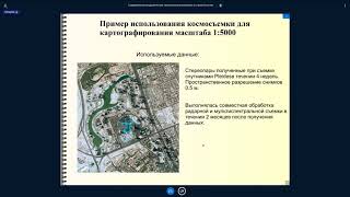
Оперативное картографирование - современные возможности
Изучите современные методы и технологии оперативного картографирования для эффективного создания и обновления карт в режиме реального времени.
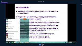
ArcGIS Desktop II: Инструменты и функциональность - Часть V
Изучите инструменты и функциональность ArcGIS Desktop II для эффективной работы с геоинформационными системами.
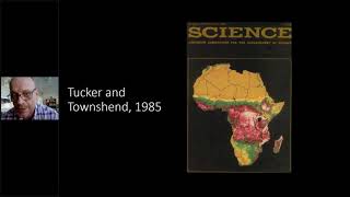
Carl Sagan Lecture Series - Reflections of Human Influence on the Land Surface
Explore global land cover changes and their impacts using remote sensing techniques. Learn about surface water dynamics, tree censuses, and challenges in monitoring Earth's evolving landscape.
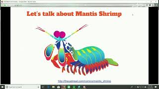
How to Use Satellite Imagery to Be a Machine - Sean Patrick Gorman, PhD | ODSC West 2018
Explore satellite imagery analysis using Jupyter notebooks, learn to extract valuable information, and develop ML models for processing Earth observation data.
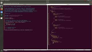
Creating Intelligent Machines with the Isaac SDK - NVIDIA Webinar
Learn to program, simulate, and deploy robotic applications using NVIDIA's Isaac SDK. Covers codelets, compute-graphs, simulation testing, and Jetson deployment, with hands-on examples and Q&A.

Getting Started with LIDAR
Explore LIDAR technology with Arduino: learn about TF Mini for distance measurement and RPLIDAR for 360-degree scanning, perfect for robotics enthusiasts and makers.
Deep Learning Workshop for Satellite Imagery - Training & Prediction
Hands-on deep learning workshop for satellite imagery, covering model training, debugging, prediction, and advanced techniques like custom metrics, heatmaps, and model deployment.
Deep Learning Workshop for Satellite Imagery - Data Processing
Hands-on workshop on data processing for satellite imagery, covering fundamentals, Python processing, image manipulation, and preparation of training data for deep learning applications.
Open Standards and Open Software for Geospatial Imagery
Explore open standards and software for geospatial imagery, addressing challenges in data access and management. Learn about new OGC standards simplifying discovery and use of public and commercial datasets.
A Photoacoustic Airborne Sonar System
Innovative airborne sonar system using photoacoustic effect for high-throughput underwater imaging, bridging gap between aerial and underwater sensing technologies.
Localization, Mapping & SLAM Using Gmapping Package - ROS Tutorials for Beginners
Explore localization, mapping, and SLAM in robotics. Learn to use Turtlebot3's gmapping package in Gazebo for creating global maps with LIDAR, combining theory and hands-on practice.

How Do We Add LIDAR to a ROS Robot?
Learn to integrate LIDAR into ROS robots, covering URDF modifications, Gazebo simulation, and real hardware integration. Gain practical insights for enhancing robot perception capabilities.
Earth Observation and Data Science for Global Urban Mapping - SPACE Webinar
Explore Earth observation, big data, and urban mapping with Prof. Zhu. Learn about global urban footprints, radar tomography, and data science approaches to settlement classification.
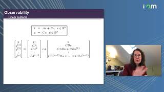
Analytical and Empirical Tools for Nonlinear Network Observability in Autonomous Systems
Explore nonlinear network observability in autonomous systems, covering analytical and empirical tools for sensor selection, network analysis, and applications in engineering and biology.
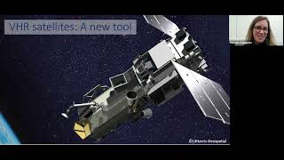
Spying on Whales and Walrus From Space to Safeguard Their Future
Discover how satellite imagery is revolutionizing whale and walrus conservation by enabling remote monitoring in hard-to-reach areas, filling crucial knowledge gaps for their protection.
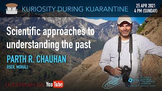
Scientific Approaches to Understanding the Past
Explore multidisciplinary scientific methods in archaeology, from Stone Age to Iron Age. Learn about human evolution, dispersals, and adaptations through case studies and cutting-edge research techniques.
Using a Lidar for Robot Navigation in a Room
Explore LASER rangefinder integration for autonomous robot navigation, including Linux requirements and control software. Learn techniques for 3D mapping and obstacle avoidance on embedded Linux platforms.
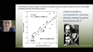
Detecting Land Cover Change - Carl Sagan Lecture Series
Explore remote sensing techniques for studying carbon cycles and land cover changes, connecting atmospheric and land system ecology across multiple scales.
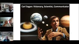
Advancement of Remote Sensing Technology to Study Planetary Metabolism
Exploring remote sensing advancements for understanding Earth's metabolism and global environmental changes, integrating astrobiology and planetary science perspectives.
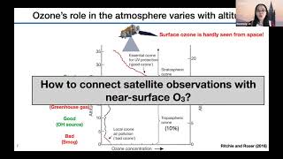
Application of Satellite Data in GeoHealth Studies
Explore satellite data applications in GeoHealth with early career scientists, focusing on innovative research methods and real-world implications for environmental and health studies.