Terraforming Earth - How Terraform Bridges the Multi-Cloud Gap for Earth Observation
Explore how Terraform bridges multi-cloud gaps in Earth Observation, enabling efficient data processing and resource management across distributed infrastructures for improved accessibility and analysis.

Geospatial Validations Using FastAPI and PostGIS
Explore geospatial data integration in web apps using PostGIS and FastAPI. Learn fundamentals, leverage PostgreSQL extension, and implement custom validations for efficient backend development.
Building Location-Based Recommendation Systems Using Google Geocoding and Go
Explore building location-based recommendation systems using Google's Geocoding API and Go. Learn about geospatial data analysis, SurrealDB's Geo functions, and the benefits of Go for this application.
PostgreSQL Extensions: Covering Multiple Use Cases
Explore PostgreSQL's extensibility to cover diverse use cases, from analytics and geospatial data to AI/ML and time series, saving time and resources.
Pivot Bio's Spatial Analytics Evolution with Databricks and CARTO
Explore how Pivot Bio revolutionizes agricultural analytics using Databricks and CARTO, integrating diverse datasets for comprehensive farming insights and empowering spatial analysis in modern agriculture.
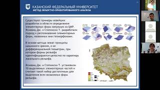
Геоморфологические и геодинамические исследования в геологии - Морфометрический анализ ЦМР - Часть II
Освойте морфометрический анализ цифровых моделей рельефа для геоморфологических и геодинамических исследований в геологии.
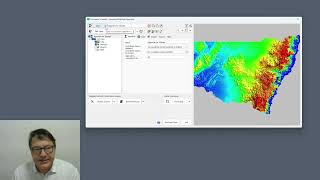
Using GDAL Virtual File System in ProRaster - Accessing Cloud and Compressed Raster Data
Master GDAL Virtual File System to access compressed archives and cloud-stored rasters, including ZIP, FTP, URL, Google Drive, and AWS S3 integration for efficient geospatial data management.
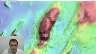
ProRaster Scientific 2.5.01 - Deep Dive into Contouring Features
Master the contouring features in ProRaster Scientific 2.5.01, from basic layer creation to advanced techniques like manual contours, opacity settings, and custom labeling for enhanced geospatial visualization.

I know what you grew last summer | Steve Shirtliffe | TEDxUniversityofSaskatchewan
What if satellites could help farmers plan smarter for the next season? Drawing from his roots on a Prairie farm and his career pioneering agriculture research, this talk explores how drones, satellite imagery and AI unlock new ways to manage crops and land. But how do we harness big data in digital