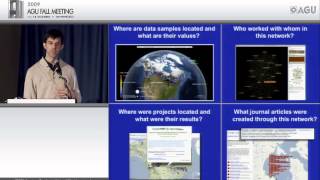
Geo-Visualization with Virtual Globes II
Explore advanced geo-visualization techniques using virtual globes, enhancing spatial data representation and analysis for Earth science applications.
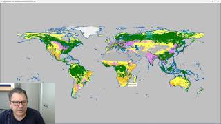
Classify Raster Operation in ProRaster Scientific - Deep Dive Tutorial
Explore ProRaster Scientific's Classify operation for raster data processing. Learn to classify continuous rasters, reclassify existing data, handle pyramid issues, and perform advanced classifications with practical examples.
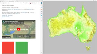
Comparing GLO-30, MERIT DEM, and Australian DEM in ProRaster Scientific - Australia Flyover
Explore Australia's diverse landscapes through a comparison of GLO-30, MERIT DEM, and Hydrologically Enforced DEM datasets using ProRaster Scientific software.
Efficient Spatial Insights - Landmark's Journey with Databricks and CARTO
Explore Landmark's transformation in spatial data analysis using Databricks and CARTO, reducing 10-day processes to 1 hour and enhancing decision-making across departments.
The AI of Where - Unleashing the Power of GenAI on Geospatial Data
Explore cutting-edge GenAI applications in location intelligence, enhancing spatial data analysis. Learn innovative uses of Large Language Models and Segment Anything Model for geospatial datasets, with real-world examples and case studies.
Applying Structure-from-Motion Photogrammetry to High-Resolution Terrain Modeling of Barva Volcano's Southeastern Parasitic Cones
Explore high-resolution terrain modeling of Barva Volcano using Structure-from-Motion photogrammetry in this Master's Capstone Defense presentation.

Ocean Expert Exchange - Using Tech to Advance Reef Science
Explore cutting-edge technologies revolutionizing reef science, from underwater photogrammetry to digital elevation models, and learn how they aid in coral conservation efforts.
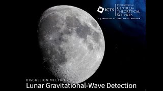
Digital Elevation Model of Lunar Poles with Cameras On-Board Chandrayaan-2 by Amitabh
Explore lunar pole topography using Chandrayaan-2 cameras to create digital elevation models, advancing our understanding of the Moon's polar regions.
Using the Iowa Environmental Mesonet for Fun and Profit - 2023
Explore the Iowa Environmental Mesonet's applications for meteorology and climate research with expert Daryl Herzmann. Learn to leverage this powerful tool for data analysis and forecasting.
Introduction to Timescale - Getting Started with Time-Series Data
Comprehensive introduction to TimescaleDB, covering setup, data import, querying, and advanced geospatial time series analysis with hands-on demonstrations and expert insights.

Location and Context Awareness in Android Apps - Strategies for Speed and Efficiency
Explore location-based and context-aware app development, focusing on efficient data management, maps, places, and beacons. Learn strategies for speedy data discovery and filtering to enhance user experience.
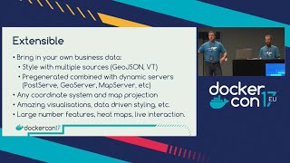
Take Control of Your Maps with Docker
Discover how to deploy custom world maps using Docker and OpenStreetMap. Learn to create, style, and scale map services without vendor lock-in for web and mobile applications.
The New Economics of Technology and Data
Explore economic shifts driven by geospatial data and AI language models, unlocking new potentials in sustainability, digital twins, and prompt engineering for innovative outcomes.
Making Use of OpenStreetMap Data with Python
Explore OpenStreetMap data manipulation using Python, learning techniques to extract, analyze, and visualize geographic information for various applications.
Saving Gaia with jQuery Mobile and GeoDjango
Learn to create mobile-friendly, location-aware web apps using jQuery Mobile and GeoDjango. Explore practical techniques for building eco-conscious applications with powerful geospatial features.
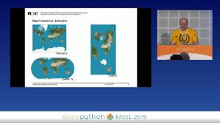
Geospatial Analysis Using Python and JupyterHub
Explore geospatial data processing and visualization using Python, covering vector and raster analysis, deep learning applications, and high-performance computing techniques for efficient spatial data handling.
Vector Data Cubes as a Bridge Between Raster and Vector Worlds
Explore vector data cubes: multi-dimensional arrays with vector geometries. Learn about Xvec, a new Python library built on Xarray, Shapely 2.0, and GeoPandas for efficient geospatial data handling.
Geospatial Validations Using FastAPI and PostGIS
Explore geospatial data integration in web app backends using PostGIS and FastAPI. Learn to leverage geodata for custom validations and efficient processing without complex analysis tools.
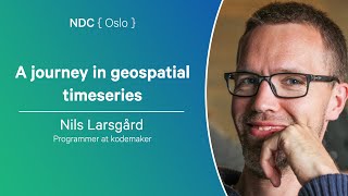
A Journey in Geospatial Timeseries - Handling Marine Traffic Data with PostgreSQL
Explore PostgreSQL's geospatial capabilities for handling timeseries data in marine traffic, using JSON types, PostGIS, and TimescaleDB extensions.
Julia Community Reshapes Computation in Geosciences
Explore Julia's impact on geosciences: ecosystem tools, hardware acceleration, and collaborative initiatives revolutionizing Earth observation and software development in the field.
Rasters.jl - Raster Data and GIS Tools for Julia
Explore Rasters.jl for Julia: handle raster data, GIS tools, and large datasets with ease. Efficient spatial operations, plotting, and ecosystem compatibility for geospatial analysis.