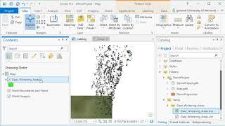
ArcGIS Pro
ArcGIS Pro is desktop GIS software developed by Esri, which replaces their ArcMap software generation. Learn the basics of using ArcGIS such a spatial joins, selections of attributes and layers, raster processing and topograpic analysis in this tutorial…
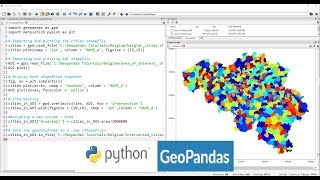
Applications of Python GeoPandas Library
Explore GeoPandas for GIS analysis, automating geo-processing tasks, creating density maps, geocoding, and mapping real-world data like COVID-19 cases using Python.
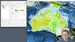
GEBCO 2023 Gridded Bathymetry Data Processing in ProRaster Scientific
Explore GEBCO 2023 bathymetry data using ProRaster Scientific. Learn to create raster sources, join operations, and export to MRR format. Visualize sea level changes and paleo-topography.
Working with Spot7 Multispectral Satellite Data in ProRaster Scientific
Manually import and analyze Spot7 multispectral satellite data in ProRaster Scientific for vegetation studies using high-resolution spectral bands and NDVI rendering techniques.
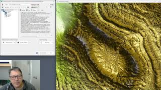
ProRaster Scientific 2.3.0 - New Features and Tools Tutorial
Explore ProRaster Scientific 2.3.0's new features: map tools, profiling, layer management, and image comparison. Master advanced geospatial analysis techniques for enhanced data visualization and interpretation.
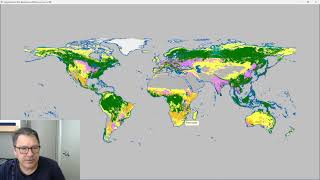
Classify Raster Operation in ProRaster Scientific - Deep Dive Tutorial
Explore ProRaster Scientific's Classify operation for raster data processing. Learn to classify continuous rasters, reclassify existing data, handle pyramid issues, and perform advanced classifications with practical examples.
Geospatial Analysis Using Python and JupyterHub
Explore geospatial data processing and visualization using Python, covering vector and raster analysis, deep learning applications, and high-performance computing techniques for efficient spatial data handling.
Vector Data Cubes as a Bridge Between Raster and Vector Worlds
Explore vector data cubes: multi-dimensional arrays with vector geometries. Learn about Xvec, a new Python library built on Xarray, Shapely 2.0, and GeoPandas for efficient geospatial data handling.
Rasters.jl - Raster Data and GIS Tools for Julia
Explore Rasters.jl for Julia: handle raster data, GIS tools, and large datasets with ease. Efficient spatial operations, plotting, and ecosystem compatibility for geospatial analysis.
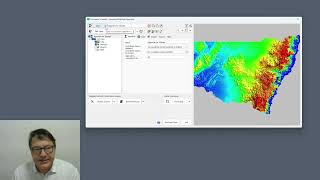
Using GDAL Virtual File System in ProRaster - Accessing Cloud and Compressed Raster Data
Master GDAL Virtual File System to access compressed archives and cloud-stored rasters, including ZIP, FTP, URL, Google Drive, and AWS S3 integration for efficient geospatial data management.
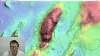
ProRaster Scientific 2.5.01 - Deep Dive into Contouring Features
Master the contouring features in ProRaster Scientific 2.5.01, from basic layer creation to advanced techniques like manual contours, opacity settings, and custom labeling for enhanced geospatial visualization.