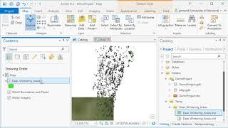
ArcGIS Pro
ArcGIS Pro is desktop GIS software developed by Esri, which replaces their ArcMap software generation. Learn the basics of using ArcGIS such a spatial joins, selections of attributes and layers, raster processing and topograpic analysis in this tutorial…
ArcObjects
Learn to develop ArcGIS Desktop applications using ArcObjects and C# .NET, covering feature creation, data management, and UI customization for enhanced GIS functionality.
Citus Con - An Event for Postgres - Americas Livestream
Livestream replay featuring expert talks on PostgreSQL optimization, performance analysis, distributed databases, and geospatial applications. Gain insights from industry leaders on advanced Postgres topics.
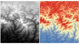
RS-GIS Data Download
Learn to download and process various geospatial datasets, including DEMs, climate data, soil maps, satellite imagery, and more. Gain skills in data acquisition and preparation for GIS analysis.
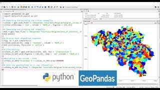
Applications of Python GeoPandas Library
Explore GeoPandas for GIS analysis, automating geo-processing tasks, creating density maps, geocoding, and mapping real-world data like COVID-19 cases using Python.
QGIS for Preparing and Visualising Hydrological Data
Learn to preprocess and visualize hydrological data using QGIS. Explore catchment derivation, stream network creation, map design, and 2D/3D visualization techniques for effective water modeling and analysis.
VersaTiles - Freie Karten für Alle
Erstelle und veröffentliche eigene interaktive Karten mit VersaTiles, einem flexiblen, kostenlosen Kartenstack. Lerne verschiedene Implementierungsmöglichkeiten und Anwendungsbeispiele kennen.
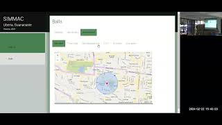
Classification of Guanacaste Districts Using Free Access Geospatial Data
Aprenda a clasificar distritos de Guanacaste utilizando datos geoespaciales de acceso libre en esta charla informativa.
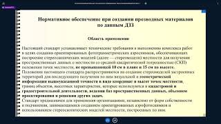
Технология получения основных производных материалов по данным аэрофотосъемки - Часть III
Освойте технологию создания производных материалов на основе аэрофотосъемки в третьей части курса от CdoGEO Казанского федерального университета.
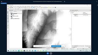
Основы фотограмметрии для работы с материалами аэрофотосъемки - Часть I
Изучите основы фотограмметрии и обработки данных аэрофотосъемки для эффективного применения в геодезии и картографии.
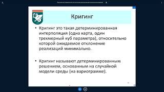
Практика: Прикладная геостатистика - Часть I
Освойте основы прикладной геостатистики для анализа и интерпретации пространственных данных в геологии и смежных областях.
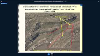
Основы фотограмметрии для работы с материалами аэрофотосъемки - Часть II
Изучите основы фотограмметрии и обработки данных аэрофотосъемки для эффективного применения в геодезии и картографии.

Using GIS Tools to Understand Host Ecology and Epidemics - Lecture 2
Explore GIS tools for analyzing host ecology and epidemic patterns. Learn to apply spatial analysis techniques to understand disease spread and ecological factors influencing outbreaks.
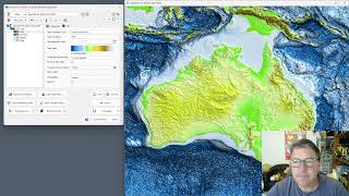
GEBCO 2023 Gridded Bathymetry Data Processing in ProRaster Scientific
Explore GEBCO 2023 bathymetry data using ProRaster Scientific. Learn to create raster sources, join operations, and export to MRR format. Visualize sea level changes and paleo-topography.
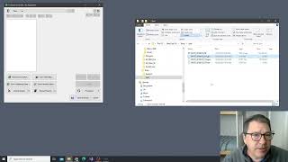
Working with Spot7 Multispectral Satellite Data in ProRaster Scientific
Manually import and analyze Spot7 multispectral satellite data in ProRaster Scientific for vegetation studies using high-resolution spectral bands and NDVI rendering techniques.
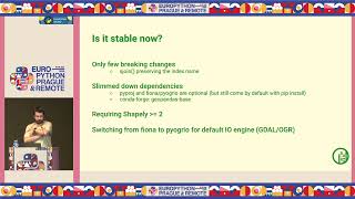
GeoPandas 1.0 and Beyond - New Features and Future Developments
Explore GeoPandas 1.0's new features, ecosystem developments, and future plans for geospatial data analysis in Python. Learn about recent changes and upcoming enhancements to prepare your code.
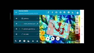
Discover Mobile - MapInfo Workflow
Explore the Discover Mobile - MapInfo workflow in this concise video, enhancing your understanding of mobile mapping techniques.
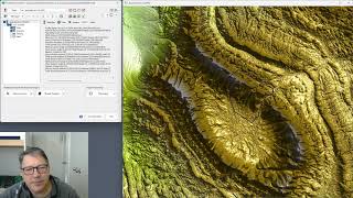
ProRaster Scientific 2.3.0 - New Features and Tools Tutorial
Explore ProRaster Scientific 2.3.0's new features: map tools, profiling, layer management, and image comparison. Master advanced geospatial analysis techniques for enhanced data visualization and interpretation.
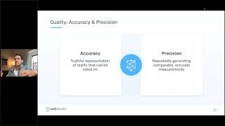
Modeling Real World Change with Geospatial Data
Learn strategies for maintaining accurate geospatial databases, sourcing quality POI data, and applying up-to-date location intelligence to business models in a dynamically changing world.
Bridging Gaps Between Geospatial Data, Cloud Computing, and Local Disaster Organizations
Explore geospatial data integration for disaster response, covering UI challenges, rapid data delivery, and field-ready solutions using AWS, edge computing, and various data sources.
The Defence Context - Geospatial Standards for Data Science
Explore geospatial standards in data science for defense, covering interoperability, machine learning, and emerging technologies to enhance information sharing and decision-making.