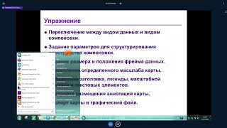
ArcGIS Desktop II: Инструменты и функциональность - Часть V
Изучите инструменты и функциональность ArcGIS Desktop II для эффективной работы с геоинформационными системами.
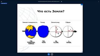
Системы координат, применяемые в геодезии, изысканиях и строительстве
Изучите системы координат, используемые в геодезии, изысканиях и строительстве, для эффективного применения в профессиональной деятельности.

Navigating the New Arctic - Climate Change, Geopolitics, and Security Challenges
Explore Arctic challenges amid climate change: geopolitics, resource competition, indigenous impacts. Experts discuss US priorities, international cooperation, and strategic implications for the region's future.
Earth at Night - New Satellite Imagery Reveals Detailed Global View
Unveiling a groundbreaking cloud-free view of Earth at night, revealing new insights into human activity, natural phenomena, and global patterns through advanced satellite imagery and scientific analysis.
ГИС - Лекция от 12.10.2022
Изучите основы географических информационных систем (ГИС) с экспертом Платовым Б.В. Освойте ключевые концепции и практические навыки работы с ГИС-технологиями.
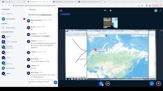
Geographic Information Systems (GIS) - Part 2
Изучите основы геоинформационных систем (ГИС) и их применение в геологии и нефтегазовой отрасли. Получите практические навыки работы с ГИС-технологиями.
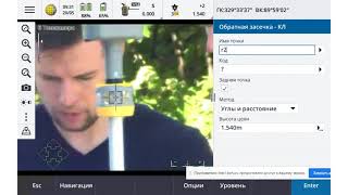
Методы Лазерного Сканирования при Проектных и Изыскательских Работах
Освойте передовые методы лазерного сканирования для проектирования и изысканий, повышая эффективность и точность ваших геодезических работ.
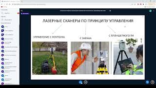
Лазерные методы сканирования
Изучите современные лазерные методы сканирования для геологических исследований и нефтегазовых технологий. Повысьте эффективность в области геологии.
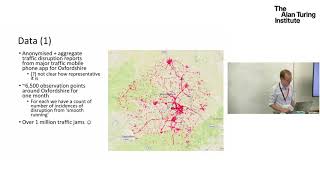
Understanding Traffic with Open Data and Visualization
Exploring innovative data science approaches to optimize urban traffic using crowd-sourced data and visual analytics tools, aiming to improve infrastructure performance without major investments.
Open Data at Facebook - Ecosystem, Maps, and Humanitarian Efforts
Explore Facebook's open data initiatives, including wildfire mapping, population tracking, and humanitarian efforts using AI and satellite imagery for global impact.
The Alchemy of Transformation - Overcoming Challenges to Achieve Goals
Inspiring journey of a mountaineer who conquered Everest, showcasing the power of determination and human spirit in overcoming challenges and achieving personal transformation.
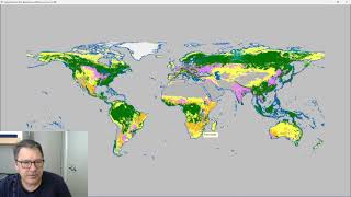
Classify Raster Operation in ProRaster Scientific - Deep Dive Tutorial
Explore ProRaster Scientific's Classify operation for raster data processing. Learn to classify continuous rasters, reclassify existing data, handle pyramid issues, and perform advanced classifications with practical examples.
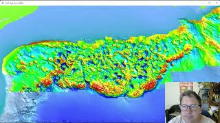
Exploring the Gulf of Mexico Bathymetry - Seabed Features and Geological Phenomena
Explore Gulf of Mexico's underwater topography through high-resolution bathymetry data. Discover unique seafloor features, analyze salt diapirism, and visualize sea level changes using advanced geospatial tools.
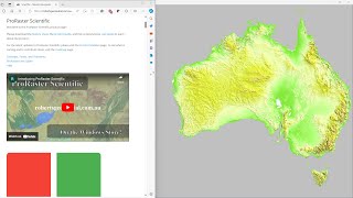
Comparing GLO-30, MERIT DEM, and Australian DEM in ProRaster Scientific - Australia Flyover
Explore Australia's diverse landscapes through a comparison of GLO-30, MERIT DEM, and Hydrologically Enforced DEM datasets using ProRaster Scientific software.
Use Failure as a Path to Success
Polar explorer Ann Daniels shares how embracing failure led to her becoming a world record holder, conquering both poles, and contributing to crucial environmental research.
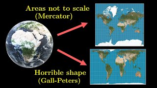
Why All Maps Are Wrong - Theorema Egregium
Explore Theorema Egregium's geometric proof, revealing why no world map can preserve both area and angles. Understand curvature, spherical areas, and the Gauss map in this mathematical journey.
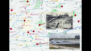
A Linear Program for Points of Interest Relocation in Adaptive Maps
Explore an innovative linear program for relocating points of interest in adaptive maps, enhancing cartographic visualization and user experience.
Herbert Bayer's World Geo-Graphic Atlas - A Conversation with Curators
Explore Herbert Bayer's influential 1953 World Geo-Graphic Atlas through expert insights, examining its impact on map design, scientific illustration, and visual education.

How Much of the Earth Can You See at Once?
Explore Earth's visibility from various perspectives, examining curvature, surface roughness, and how much can be seen from different distances and altitudes.
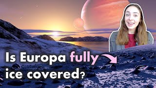
Is Europa Geologically Active? - Europa's Surface Features & Geology - Astrobiology
Explore Europa's geology, surface features, and potential for life. Discover evidence of geologic activity and its implications for the icy moon's subsurface ocean and habitability.

River Erosion and Deposition
Explore the dynamic processes of river erosion and deposition, including river anatomy, meander formation, delta creation, and sediment sorting, to understand how rivers shape Earth's surface over time.