
Introduction to QGIS
Learn QGIS 3 for geospatial analysis: create 3D models, analyze terrain, visualize data, and produce maps. Master essential GIS skills for various applications in this comprehensive introduction.
Freie interaktive Karten mit VersaTiles
Entwicklung und Nutzung von VersaTiles: Ein freier Kartenstack basierend auf OpenStreetMap für kostengünstige, interaktive Visualisierungen komplexer Informationen. Vorstellung des aktuellen Stands und zukünftiger Pläne.
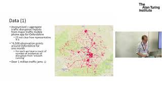
Understanding Traffic with Open Data and Visualization
Exploring innovative data science approaches to optimize urban traffic using crowd-sourced data and visual analytics tools, aiming to improve infrastructure performance without major investments.
Open Data at Facebook - Ecosystem, Maps, and Humanitarian Efforts
Explore Facebook's open data initiatives, including wildfire mapping, population tracking, and humanitarian efforts using AI and satellite imagery for global impact.
Privacy-Aware City Navigation with CityZen App - Open Source Exploration and OSM Contribution
Explore cities privately with CityZen, an open-source app for navigation and OpenStreetMap contributions. Learn about its features, development, and ways to get involved.
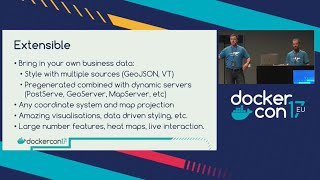
Take Control of Your Maps with Docker
Discover how to deploy custom world maps using Docker and OpenStreetMap. Learn to create, style, and scale map services without vendor lock-in for web and mobile applications.
Public Money? Public Code! A Campaign Framework to Promote Software Freedom
Campagne pour promouvoir les logiciels libres dans l'administration publique : stratégies, outils et succès pour influencer les décideurs et changer les politiques.
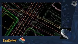
How to Become an OpenStreetMap Pro
Enhance your OpenStreetMap skills with advanced tools, techniques, and ecosystem knowledge. Learn from years of mapping experience and improve your contributions.
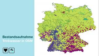
Wo finde ich Wasser? Die kollektive Kartierung von Trinkwasser-Orten in OSM und der Weg dorthin.
Kollektive Kartierung öffentlicher Trinkwasserstellen in OpenStreetMap: Projekt zur Reduzierung von Plastikmüll, Verbesserung der Datenlage und Einbindung von Freiwilligen in Deutschland.
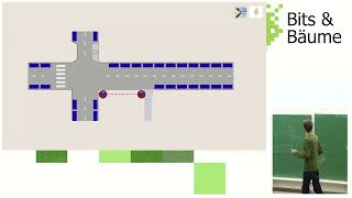
Mit OpenStreetMap die Verkehrswende begleiten – Tagging, Tools und Analysen
Entdecken Sie OpenStreetMap als Werkzeug zur Dokumentation und Analyse der Verkehrswende. Lernen Sie Tagging-Schemata, Erfassungsmethoden und Anwendungsmöglichkeiten für nachhaltige Mobilitätsplanung kennen.
OpenStreetMap for the Web
Explore OpenStreetMap's rich dataset, APIs for map tiles, search, routing, and location. Learn about storage, searching, and map-making theory for web applications.

Integration, Data Sharing, Opensource, and the Agtech Startup Ecosystem
Exploring agtech's potential in Australia: challenges, open data standards, and the importance of interoperability for farmers and developers in the agricultural technology ecosystem.
Making Use of OpenStreetMap Data with Python
Explore OpenStreetMap data manipulation using Python, learning techniques to extract, analyze, and visualize geographic information for various applications.
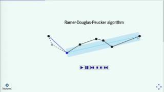
Handling GPS Data with Python
Learn to handle GPS data in Python, from reading/writing tracks to visualizing on OpenStreetMap. Explore libraries, add elevation data, and understand algorithms like Douglas-Peucker and Kalman filters for track simplification and smoothing.
PyRT - Computer Graphics in Jupyter Notebooks for Fun and Teaching
Explore pyRT for raytracing in Jupyter notebooks, creating 2D animations, visualizing algorithms, rendering geodata, and generating 3D graphics with Python.