Технология Использования Съемки в Режиме Кинематика (ППК) - Часть I
Изучите технологию съемки в режиме кинематика (ППК) для геодезических работ. Освойте основы и принципы применения этого метода в полевых условиях.
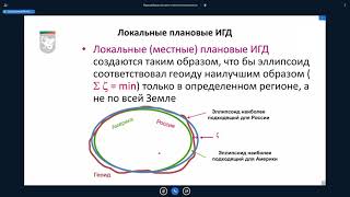
Системы координат при проведении землеустроительных и маркшейдерских работ
Изучите системы координат, применяемые в землеустройстве и маркшейдерии, для точного определения местоположения и проведения геодезических измерений.
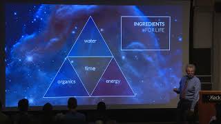
Origins and Evolution of Life in Space and Time
Explore the origins and evolution of life across space and time, from Earth's early days to potential habitable environments on other planets and moons in our solar system and beyond.
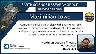
Constraining Subglacial Geology with Geophysical Joint Inversion in Antarctica
Explore geophysical joint inversion techniques to uncover subglacial geology in Antarctica, focusing on airborne gravity and magnetic data analysis in Victoria Land and Wilkes Subglacial Basin.
Ocean Diffusivity: Stochastic Approaches in Numerical Modeling
Explore stochastic approaches in ocean modeling, including Monte-Carlo methods, perturbed conditions, and stochastic dissipation operators for improved numerical simulations.
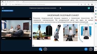
Применение глобальных навигационных спутниковых систем
Изучите применение глобальных навигационных спутниковых систем для повышения эффективности и управления качеством в геологии и нефтегазовых технологиях.
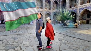
Geography Now: Letter to Uzbekistan
Discover the rich cultural heritage, geography, and modern developments of Uzbekistan through an engaging exploration of this Central Asian nation's unique characteristics and global significance.
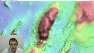
ProRaster Scientific 2.5.01 - Deep Dive into Contouring Features
Master the contouring features in ProRaster Scientific 2.5.01, from basic layer creation to advanced techniques like manual contours, opacity settings, and custom labeling for enhanced geospatial visualization.
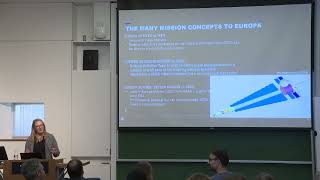
Lessons from Europa Clipper - Digital Twins for Solar System Exploration
Discover key insights from NASA JPL's mission planning for Europa Clipper, exploring digital twin technology applications in solar system exploration and spacecraft development.

Life on a remote Arctic research station | Esther Horvath | TEDxDanubia
From a childhood dream shaped by borders to documenting the most remote places on Earth in Antarctica and the Arctic, Esther Horvath takes us into the polar night of the northernmost community and the fastest‑warming place on the planet. There, she reveals the people who live far from their loved on