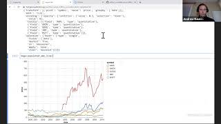
Encoding Multi-Layered Vega-Lite COVID-19 Geodata Visualizations with MLflow
Learn to create and manage multi-layered Vega-Lite visualizations for COVID-19 geodata using MLflow, enhancing data communication and lifecycle management for powerful insights.
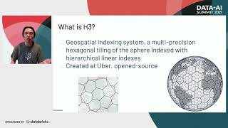
Large Scale Geospatial Indexing and Analysis on Apache Spark
Explore large-scale geospatial indexing and analysis using Apache Spark, covering challenges, frameworks, data structures, and practical applications in cloud-first architecture with Databricks.

Bringing Satellite and Drone Imagery into Data Science Workflows
Explore satellite and drone imagery analysis in data science workflows using RasterFrames, a Spark SQL extension with Python API for processing spatial image data and integrating with ML frameworks.
Geospatial Data Analysis in Apache Spark - Challenges and Solutions
Explore geospatial data challenges in Apache Spark, comparing libraries, and learning best practices for data ingestion, storage, and retrieval using spatial indexing techniques.
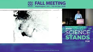
NASA's Worldview: Creating Custom Maps and Animations with Satellite Data
Hands-on workshop teaching how to create custom maps and animations using NASA's satellite imagery to visualize environmental changes, disasters, and air quality.
Visual Pattern Exploration At and Across Scales
Innovative visualization systems for exploring patterns in large-scale datasets, combining interactive visual techniques with machine learning to enhance data analysis in genomics, geospatial, and time-series fields.
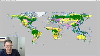
Classify Raster Operation in ProRaster Scientific - Deep Dive Tutorial
Explore ProRaster Scientific's Classify operation for raster data processing. Learn to classify continuous rasters, reclassify existing data, handle pyramid issues, and perform advanced classifications with practical examples.
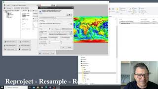
Introducing the Processing Menu in ProRaster Scientific
Discover new Raster Processing operations in ProRaster Scientific, enabling immediate visualization of huge raster outputs without execution. Learn export, statistics, join, clip, mask creation, reprojection, and more.
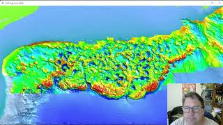
Exploring the Gulf of Mexico Bathymetry - Seabed Features and Geological Phenomena
Explore Gulf of Mexico's underwater topography through high-resolution bathymetry data. Discover unique seafloor features, analyze salt diapirism, and visualize sea level changes using advanced geospatial tools.
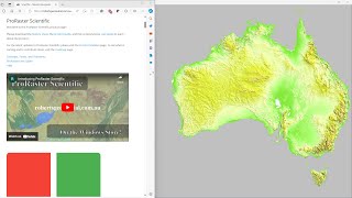
Comparing GLO-30, MERIT DEM, and Australian DEM in ProRaster Scientific - Australia Flyover
Explore Australia's diverse landscapes through a comparison of GLO-30, MERIT DEM, and Hydrologically Enforced DEM datasets using ProRaster Scientific software.
Cardiometabolic Disease Trends in Canada - Data Analysis Workshop
Explore cardiometabolic disease trends in Canada through Loblaw's advanced analytics, examining pharmaceutical data and health-geospatial insights for diabetes and cardiovascular diseases.
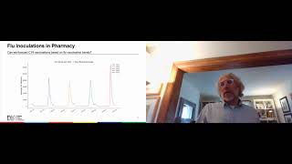
COVID-19 Vaccination Demand Forecasting in Canadian Pharmacies
Develop an analytic forecasting framework for COVID-19 vaccination demand in Canadian pharmacies using historical data, geospatial demographics, and digital surveys.
Harnessing Open Source Tools for Cloud-based Geospatial Analysis
Explore open-source tools for cloud-based geospatial analysis using satellite data. Learn to leverage platforms like Google Earth Engine for environmental applications and gain insights into planetary-scale changes.
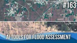
AI Tools for Flood Assessment and Modeling
Explore cutting-edge AI tools for flood assessment and modeling, including rapid analysis of dam breaches, satellite imagery interpretation, and GIS plugins for efficient flood mapping and impact prediction.
Mapping the Flow of Ice Around the Globe - New Database for Tracking Global Ice Velocity
Scientists discuss a new database tracking global ice velocity using NASA/USGS Landsat satellites, providing insights into glacier melting, sea level rise, and seasonal changes in ice movement due to climate change.
Earth Science Data Access and Integration at the Nexus of Science, Policy, and Society
Explore Earth science data integration with socio-economic and health data for transdisciplinary research. Learn about challenges and opportunities in data access, harmonization, and analysis frameworks.
Hurricanes - Rainfall Patterns and Geospatial Analysis
Explore hurricane rainfall patterns and geospatial analyses with UF expert Corene Matyas in this engaging discussion at a local brewery, blending science and socializing.
Change and Resilience in Ukraine's Agricultural Landscapes During Conflict
Experts discuss the impact of Russia's invasion on Ukraine's agriculture, using remote sensing and AI to observe land use changes, and examining environmental effects for future recovery efforts.
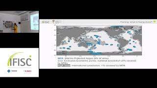
Analysis of Marine Fishing Using Vessel Trajectories: Global Structure and Suspicious Behavior
Explore marine fishing analysis through vessel trajectories, examining global structures and identifying suspicious behaviors in maritime activities.
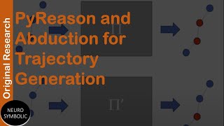
PyReason and Abduction for Trajectory Generation
Explore combining PyReason's annotated logic with abductive inference for robust human movement trajectory generation, countering anomaly detection.
AI Tools for Modeling Innovation in Water Resources
Explore AI tools for enhancing productivity in modeling workflows, including image segmentation, large language models, and data analysis techniques. Learn from experts about innovative applications in flood modeling and terrain analysis.