
Google Earth Pro
Learn to create maps, import shapefiles and coordinates, visualize topography, and convert geospatial data using Google Earth Pro for effective spatial analysis and visualization.
ArcMap 10 Tutorials
Learn essential ArcMap 10 skills, from projecting data views to creating thematic maps and georeferencing, in a concise 30-minute tutorial.
QGIS Essentials for Water Modelling
Learn essential QGIS tools for water modelling, including PCRaster plugin, flow direction styling, and catchment map creation. Gain practical skills through live demonstrations and expert insights.
Working with Geotiff Files Using Rasterio in Python - Also Quick Demo of NDVI Calculation
Learn to manipulate geotiff files using rasterio in Python, including reading, plotting, and performing NDVI calculations. Gain practical skills for working with satellite imagery and geospatial data analysis.
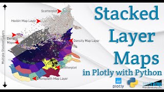
Beautiful and Informative Multilayer Stacked Geo Maps in Plotly With Python
Learn to create multi-layer stacked geo maps in Plotly with Python, combining hexbin, scatter, and density layers for beautiful and informative geospatial data visualizations and dashboards.
Geospatial Data Analysis in Apache Spark - Challenges and Solutions
Explore geospatial data challenges in Apache Spark, comparing libraries, and learning best practices for data ingestion, storage, and retrieval using spatial indexing techniques.
Eroding Coastlines - A Geospatial & Computer Vision Analysis
Explore satellite imagery and Python tools for geospatial analysis to identify and analyze coastal erosion, addressing a critical environmental and humanitarian challenge.
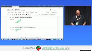
Processing Geodata Using Python and Open Source Modules
Learn to analyze, manipulate, and visualize geospatial data using Python and open-source modules like Shapely, Fiona, rasterio, and GeoPandas. Explore vector and raster data handling, spatial reference systems, and map creation.

I know what you grew last summer | Steve Shirtliffe | TEDxUniversityofSaskatchewan
What if satellites could help farmers plan smarter for the next season? Drawing from his roots on a Prairie farm and his career pioneering agriculture research, this talk explores how drones, satellite imagery and AI unlock new ways to manage crops and land. But how do we harness big data in digital