New to Cognitive Services - Spatial Analysis and Metrics Advisor
Explore Computer Vision spatial analysis for understanding people's movements and Metrics Advisor for time series-based decision AI in equipment maintenance and business health monitoring.
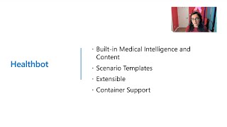
New Capabilities in Azure Cognitive Services
Discover the latest updates in Azure Cognitive Services, including Custom Neural Voice, Form Recognizer enhancements, and AI innovations to enhance your apps and services.
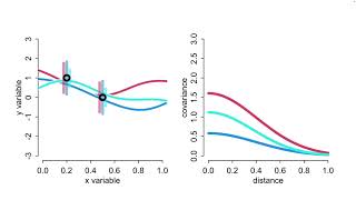
Statistical Rethinking 2023 - Gaussian Processes
Explore Gaussian processes and their applications in statistical analysis, including oceanic spatial confounds and phylogenetic regression, for advanced data modeling techniques.
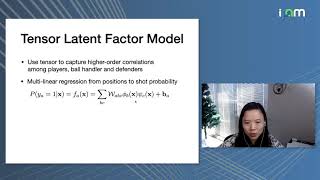
Multiresolution Tensor Learning for Efficient and Interpretable Spatial Analysis
Explore efficient and interpretable spatial analysis using multiresolution tensor learning, with applications in geology, sports, and climate science. Discover improved methods for handling complex spatial data.
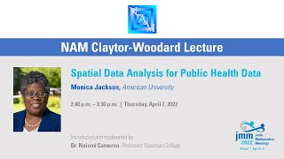
Spatial Data Analysis for Public Health
Explore spatial data analysis techniques for public health, focusing on disease surveillance, outbreak detection, and global patterns in health data.
Spatial Data Analysis in Power BI
Learn to create stunning thematic maps and perform impactful spatial data analysis using Power BI's ArcGIS Maps and MapBox Visual for enhanced data visualization and insights.

Spatial Analysis with SQL Server, R and Power BI
Discover the power of spatial analysis using SQL Server, R, and Power BI. Learn to analyze location-based data, make informed decisions, and create compelling visualizations for real-world applications.
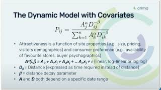
Dynamic Huff's Gravity Model with Covariates for Site Visitation Prediction
Discover how enhanced Huff's Gravity Model incorporates mobility and behavioral data to accurately predict consumer location visits, with practical applications for retail and urban planning.
Empowering the Map Ecosystem with Open Data
Discover how Overture Maps Foundation is revolutionizing digital mapping through collaborative open data initiatives, focusing on automotive applications and cross-industry implementation.
Unlocking Geospatial Data Science: A Strategic Overview
Explore the landscape of geospatial data science and location intelligence, from strategic perspectives to practical applications, including data sources, industry use cases, and hands-on examples.

Realtime Streaming of Flight Data with Microsoft Fabric
Stream and analyze real-time aircraft data using Microsoft Fabric, showcasing Eventstream, KQL database, and Power BI for visualizing flight patterns above SQLBits venue.
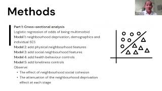
Multimorbidity and Place: Neighborhood Factors and Health Outcomes
Exploring links between multimorbidity, neighborhood characteristics, and social factors. Presents findings on material deprivation, social aspects, and novel neighborhood profiles based on local media data to understand spatial health inequalities.
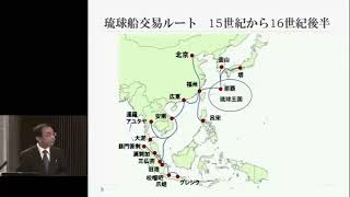
地域をよむ情報学の眼
地域研究と情報学の融合を通じて、東南アジアの地域特性を解析する新しい研究アプローチについて深く掘り下げる最終講義。
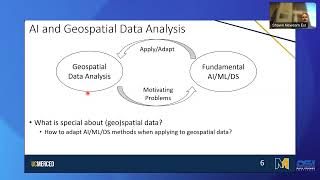
GeoAI: Past, Present, and Future
Explore GeoAI's evolution, applications, and future prospects in geographic data analysis. Gain insights into spatial context integration, multi-modal foundation models, and potential challenges with generative AI.
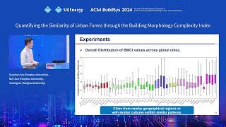
Quantifying the Similarity of Urban Forms through the Building Morphology Complexity Index
Discover a novel approach to measuring urban form similarities through building morphology analysis, exploring computational methods for understanding city patterns and structures.