Weather's Influence on Earthquakes - Press Conference
Explore the intriguing connection between weather patterns and seismic activity, featuring insights from experts on monsoons, icecap retreat, and their potential impact on earthquake occurrence.
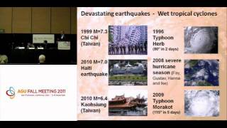
Weather's Influence on Earthquakes and Volcanoes
Exploring connections between weather patterns and seismic/volcanic activity, revealing how surface phenomena can influence underground events and potentially impact eruption timing.
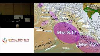
Is a Megaquake Brewing in the High Himalaya? - AGU Fall Meeting 2011 Press Conference
Researchers discuss potential for magnitude 9 earthquake in Kashmir Valley, using GPS monitoring and historical evidence to assess seismic risk in the densely populated Himalayan region.
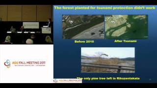
The 11 March 2011 Japan Tsunami - New Insights and Impacts - Press Conference
Insights from the 2011 Japan tsunami: wave behavior, coastal impacts, and global effects. Scientists discuss new findings on tsunami dynamics, damage patterns, and ecological consequences.
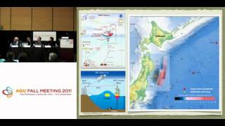
The 11 March 2011 Japan Tsunami - Scientific Assessments and Implications - Press Conference 1
Scientists discuss tsunami forecasting, eyewitness video analysis, and risk awareness implications following the 2011 Japan tsunami. Experts explore lessons for future preparedness and Pacific Northwest seismic risks.
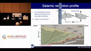
New Views of Japan's 11 March 2011 Tohoku Megaquake
Researchers reveal significant sea-floor changes and unique aspects of the 2011 Tohoku megaquake through submersible dives and seismic imaging, offering new insights into its dual nature and underlying geological factors.
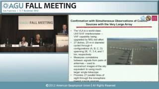
An Unlikely New Tool for Spotting Clandestine Nuclear Tests
Innovative use of GPS technology for detecting clandestine nuclear tests, exploring ionospheric disturbances and acoustic waves as potential indicators of underground explosions.
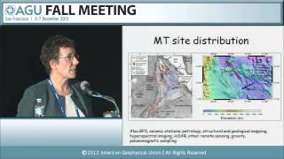
Magnetotelluric Studies in East Africa: Imaging Subsurface Melt and Magma
Explore magnetotelluric studies in East Africa, focusing on imaging subsurface melt and magma. Learn about data collection, processing, and interpretation in interdisciplinary rift zone research.
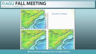
Understanding Recent and Historical Seismicity in the Central and Eastern U.S. - 2012
Explore recent developments in seismology for Central and Eastern US, covering ground-motion modeling, earthquake processes, intraplate dynamics, and implications for nuclear safety.
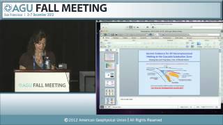
Comprehensive Understanding of Melting Processes at Subduction Zones - Part 1
Explore cutting-edge research on mantle melting in subduction zones, covering experimental studies, numerical models, seismic imaging, and geochemical analyses to understand magma formation processes.
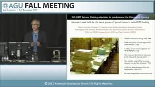
Defeating Earthquakes - Global Earthquake Model and Risk Mitigation
Exploring earthquake risk awareness, global impact, and mitigation strategies through the Global Earthquake Model initiative to reduce casualties and improve urban resilience worldwide.
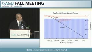
Earthquake Forecasting as a System-Science Problem - Gutenberg Lecture
Explores earthquake forecasting as a system science, discussing probabilistic models, deterministic simulations, and advances in hazard mapping. Highlights challenges in reconciling long-term stress renewal with short-term clustering.
Citizen-Empowered Seismology - Advances in Public Participation
Explore innovative citizen science initiatives in seismology, including USGS "Did You Feel It?", Quake-Catcher Network, NetQuakes, and smartphone-based earthquake detection methods.
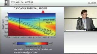
The Fate of Water in the Cascadia Forearc
Explore the complex journey of water in Cascadia's forearc through seismic profiles, revealing insights into plate boundaries, tremors, and oceanic crust behavior.
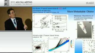
Global Tectonics: Quakes, Rocks, and Volatiles in the Mantle Transition Zone - Birch Lecture
Explore global tectonics, earthquakes, and mantle transition zone dynamics. Discover connections between seismic data, subduction zones, and petrological anomalies in this comprehensive geophysical lecture.
Ultra-High Resolution Four-Dimensional Imaging Across the Earth Sciences
Explore cutting-edge 4D imaging techniques revolutionizing Earth Sciences, offering unprecedented insights into geological processes and environmental changes over time.
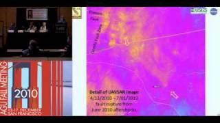
The April 2010 M7.2 Baja California Earthquake - Observations and Implications for Southern California
Explore the complex M7.2 Baja earthquake of 2010, its impacts, and implications for Southern California's seismic future through remote sensing, field observations, and new data analysis techniques.
The Mysterious Tsunami that Destroyed Palu, Indonesia - New Findings
Scientists present new findings on the unexpected and devastating tsunami in Palu, Indonesia, following a 2018 earthquake. Insights from fieldwork, modeling, and investigations shed light on the tsunami's unusual generation and impact.
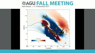
The September 2017 Tehuantepec and Puebla Earthquakes in Mexico - 2017 Fall Meeting
Comprehensive analysis of the September 2017 Tehuantepec and Puebla earthquakes in Mexico, covering seismology, geology, and geophysics aspects with insights from leading experts in the field.
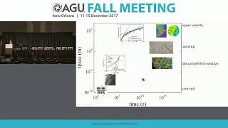
Birch Lecture: Flow Laws and Deformation in Earth's Mantle - 2017 Fall Meeting
Explore rock deformation, flow laws, and their impact on earthquakes with Greg Hirth's insightful lecture on geophysics and plate tectonics.
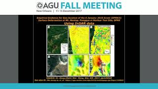
North Korean September 3, 2017 Declared Nuclear Test - Part 1
Comprehensive analysis of North Korea's 2017 nuclear test, covering seismic data, satellite imagery, and atmospheric monitoring. Experts discuss technical findings and implications.