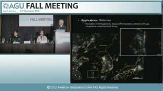
Earth at Night - New Satellite Imagery Reveals Detailed Global View
Unveiling a groundbreaking cloud-free view of Earth at night, revealing new insights into human activity, natural phenomena, and global patterns through advanced satellite imagery and scientific analysis.
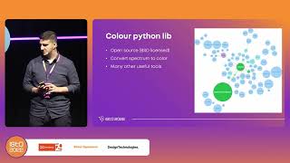
Earth Through the Eye of a Satellite - ISTA Conference Talk
Explore Earth's landscapes through satellite imagery, gaining insights into remote sensing and its applications in environmental monitoring and resource management.
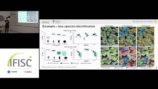
Mapping the Distribution of Seagrass Meadows from Space with Deep Convolutional Neural Networks
Utilize deep convolutional neural networks to map seagrass meadow distribution from satellite imagery, advancing marine ecosystem monitoring and conservation efforts.
Innovating for Sustainable Future - Williams' Journey with NextGen Gas
Explore how Williams & Wipro's NextGen Gas solution leverages Data Lakehouse, AI, and satellite imagery to reduce emissions, improve reporting, and generate revenue while meeting customer climate demands.
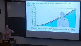
Earth Observation of Carbon Dynamics in Agricultural Landscapes
Explore earth observation techniques for monitoring carbon dynamics in agricultural landscapes, focusing on climate mitigation through soil management.

State-of-the-Art AI-Driven Solar PV Generation Forecasts - Data Learning
Explore cutting-edge AI techniques for forecasting solar PV generation, presented by Jacob Bieker from Open Climate Fix. Gain insights into innovative approaches in renewable energy prediction.
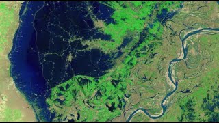
Mapping the 2022 Indus Valley Flood Using ProRaster Scientific - Pakistan
Map the 2022 Indus Valley Flood using ProRaster Scientific. Learn to process satellite imagery, create custom water indices, and integrate multi-temporal data for comprehensive flood extent analysis.
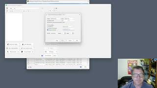
Create Product Sequence Wizard in ProRaster Scientific 2.2 - Tutorial
Turbocharge productivity with the new "Create Product Sequence" wizard in ProRaster Scientific 2.2. Easily create and edit multispectral satellite imagery product sequences, eliminating time-consuming individual product creation.
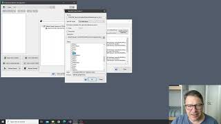
NDVI Analysis and Product Processing in ProRaster Scientific - Part 4
Aprenda a construir cascatas de processamento de produtos para calcular NDVI, recortar polígonos e computar estatísticas temporais usando ProRaster Scientific para análise de vegetação.
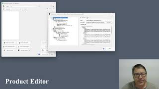
The Multispectral Product Editor in ProRaster Scientific - Tutorial
Explore virtual processing cascades for multispectral satellite imagery using ProRaster Scientific's product editor. Master operations, execution control, and advanced features for efficient data analysis.
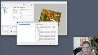
Wooroloo Fire Scar Analysis Using ProRaster Scientific
Analyze Wooroloo fire scar using Landsat data, ProRaster Scientific software, and advanced geospatial techniques. Learn to create scene sequences, compute indices, and generate statistics.
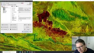
Tjoritja Fire Scar Analysis Using ProRaster Scientific
Analyze Tjoritja fire scar using Landsat imagery and ProRaster Scientific. Learn to build branched processing chains, compare indices, and create final map renderings.
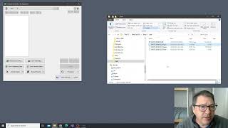
Working with Spot7 Multispectral Satellite Data in ProRaster Scientific
Manually import and analyze Spot7 multispectral satellite data in ProRaster Scientific for vegetation studies using high-resolution spectral bands and NDVI rendering techniques.
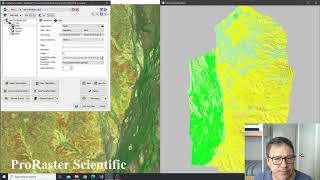
Building Advanced Collated Mosaic Sequences for NDVI Analysis - Part 3
Explore advanced Collated Mosaic Sequence creation in ProRaster Scientific for enhanced temporal vegetation analysis of Coorabulka Station using Landsat imagery and NDVI calculations.
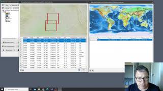
Building Mosaics and Collated Mosaic Sequences for NDVI Analysis - Part 2
Aprenda a criar mosaicos e sequências de mosaicos colados usando ProRaster Scientific para análise de vegetação em Coorabulka Station, Queensland, ao longo de um ano.
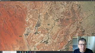
NDVI Analysis Using ProRaster Scientific - Coorabulka Station Case Study - Part 1
Explore vegetation change analysis using ProRaster Scientific, focusing on Coorabulka Station. Learn to build Landsat scene databases, create mosaics, and compute NDVI for comprehensive environmental monitoring.
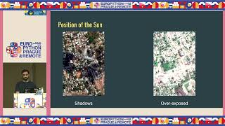
Earth Observation through Large Vision Models
Explore Earth observation using large vision models for infrastructure planning and disaster response. Learn to access satellite datasets, fine-tune models, and apply zero-shot classification and image translation techniques.
Работа с материалами ДЗЗ из космоса - Часть 3
Освойте передовые методы обработки и анализа космических снимков для решения задач дистанционного зондирования Земли.
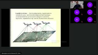
Дистанционное зондирование - 12.10.2023
Изучите основы дистанционного зондирования и его применение в геологии и нефтегазовых технологиях. Повысьте свою квалификацию в этой перспективной области.

Bringing Satellite and Drone Imagery into Data Science Workflows
Explore satellite and drone imagery analysis in data science workflows using RasterFrames, a Spark SQL extension with Python API for processing spatial image data and integrating with ML frameworks.
NASA's Worldview: Creating Custom Maps and Animations with Satellite Data
Hands-on workshop teaching how to create custom maps and animations using NASA's satellite imagery to visualize environmental changes, disasters, and air quality.