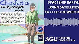
Spaceship Earth - Using Satellites to Feed the World
Explore how NASA's satellite technology and research contribute to global food security through land use monitoring and agricultural insights.
Earth Through the Eye of a Satellite - ISTA Conference Talk
Explore Earth's landscapes through satellite imagery, gaining insights into remote sensing and its applications in environmental monitoring and resource management.
Bringing Satellite Data Down to Earth - Challenges and Opportunities
Explore the integration of satellite data with enterprise systems, unlocking new insights through earth observation and AI. Learn about challenges, opportunities, and use cases in this emerging field.
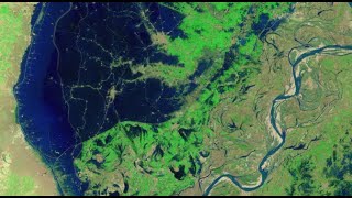
Mapping the 2022 Indus Valley Flood Using ProRaster Scientific - Pakistan
Map the 2022 Indus Valley Flood using ProRaster Scientific. Learn to process satellite imagery, create custom water indices, and integrate multi-temporal data for comprehensive flood extent analysis.
NDVI Analysis and Biomass Proxy Calculation for Coorabulka Station Using ProRaster Scientific
Perform real-time vegetation change analysis using ProRaster Scientific 2.2.03. Process Landsat imagery, compute NDVI, transform data, and visualize results for Coorabulka Station over 10 years.
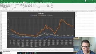
NDVI Analysis for Vegetation Change at Coorabulka Station - Part 6
Analyze temporal vegetation statistics using Excel, interpret graphs, and create a biomass proxy measure for Coorabulka Station's carrying capacity assessment.
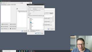
NDVI Analysis and Product Processing in ProRaster Scientific - Part 4
Aprenda a construir cascatas de processamento de produtos para calcular NDVI, recortar polígonos e computar estatísticas temporais usando ProRaster Scientific para análise de vegetação.
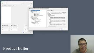
The Multispectral Product Editor in ProRaster Scientific - Tutorial
Explore virtual processing cascades for multispectral satellite imagery using ProRaster Scientific's product editor. Master operations, execution control, and advanced features for efficient data analysis.
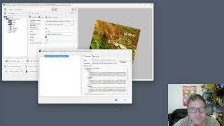
Wooroloo Fire Scar Analysis Using ProRaster Scientific
Analyze Wooroloo fire scar using Landsat data, ProRaster Scientific software, and advanced geospatial techniques. Learn to create scene sequences, compute indices, and generate statistics.
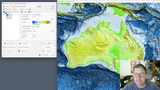
GEBCO 2023 Gridded Bathymetry Data Processing in ProRaster Scientific
Explore GEBCO 2023 bathymetry data using ProRaster Scientific. Learn to create raster sources, join operations, and export to MRR format. Visualize sea level changes and paleo-topography.
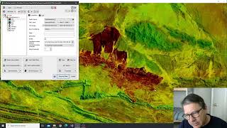
Tjoritja Fire Scar Analysis Using ProRaster Scientific
Analyze Tjoritja fire scar using Landsat imagery and ProRaster Scientific. Learn to build branched processing chains, compare indices, and create final map renderings.
Working with Spot7 Multispectral Satellite Data in ProRaster Scientific
Manually import and analyze Spot7 multispectral satellite data in ProRaster Scientific for vegetation studies using high-resolution spectral bands and NDVI rendering techniques.
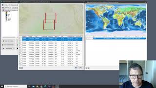
Building Mosaics and Collated Mosaic Sequences for NDVI Analysis - Part 2
Aprenda a criar mosaicos e sequências de mosaicos colados usando ProRaster Scientific para análise de vegetação em Coorabulka Station, Queensland, ao longo de um ano.
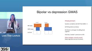
Disease Trajectories of Severe Mental Illness
Explore geospatial analysis of severe mental illness, uncovering distinct hotspots and disease trajectories through computational genomics techniques.
ГИС - Лекция от 12.10.2022
Изучите основы географических информационных систем (ГИС) с экспертом Платовым Б.В. Освойте ключевые концепции и практические навыки работы с ГИС-технологиями.
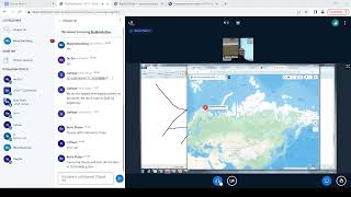
Geographic Information Systems (GIS) - Part 2
Изучите основы геоинформационных систем (ГИС) и их применение в геологии и нефтегазовой отрасли. Получите практические навыки работы с ГИС-технологиями.
Работа с материалами ДЗЗ из космоса - Часть 3
Освойте передовые методы обработки и анализа космических снимков для решения задач дистанционного зондирования Земли.
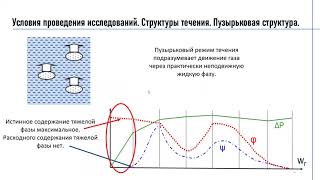
Роль информационных систем ГИС контроля при разработке месторождения - Задачи, объекты и классификация
Изучите роль, задачи и классификацию информационных систем ГИС-контроля в разработке месторождений.
Working with Geotiff Files Using Rasterio in Python - Also Quick Demo of NDVI Calculation
Learn to manipulate geotiff files using rasterio in Python, including reading, plotting, and performing NDVI calculations. Gain practical skills for working with satellite imagery and geospatial data analysis.
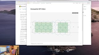
Day in the Life of a Data Analyst - Bing Maps API
Explore a real-world data analysis task using Python and Bing Maps API to gather school location data, showcasing workflow structure and geospatial analysis techniques.
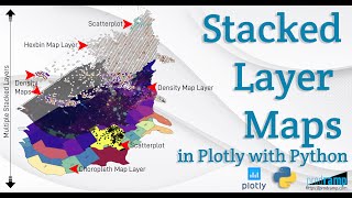
Beautiful and Informative Multilayer Stacked Geo Maps in Plotly With Python
Learn to create multi-layer stacked geo maps in Plotly with Python, combining hexbin, scatter, and density layers for beautiful and informative geospatial data visualizations and dashboards.