
Google Earth Pro
Learn to create maps, import shapefiles and coordinates, visualize topography, and convert geospatial data using Google Earth Pro for effective spatial analysis and visualization.
QGIS Tutorial
Learn to pre-process images for NDVI and LULC, create study area maps, and digitize features from Google Earth using QGIS, a powerful open-source GIS software.

Introduction to Geospatial Analysis with Python GeoPandas
Learn to visualize and process geospatial data using Python GeoPandas. Master coordinate conversion, elevation extraction, and geoprocessing techniques for beginners.
Working with LIDAR in ArcGIS
Companion Videos for the e-book, "Working with LIDAR in ArcGIS". The eBook is available on Amazon at http://tinyurl.com/hjbujgb for $2.99. These videos cover some of the hands-on exercises from the book as a supplement to the text.
ArcMap 10 Tutorials
Learn essential ArcMap 10 skills, from projecting data views to creating thematic maps and georeferencing, in a concise 30-minute tutorial.
Multi-User Geodatabase
Comprehensive exploration of Esri's Enterprise Geodatabase, covering various modes, real-life implementations, and best practices for GIS professionals and developers.
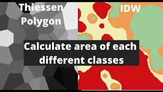
QGIS
Explore interpolation techniques, study area mapping, and land cover change detection using QGIS in this comprehensive tutorial for beginners.
SpeciesDistributionModels.jl - A Species Distribution Modeling Workflow in Julia
Discover how to model species distributions using Julia's powerful ecosystem, featuring fast computation, interactive visualization, and integration with MLJ for enhanced ecological research and analysis.
Технология получения основных производных материалов по данным аэрофотосъемки - Часть III
Освойте технологию создания производных материалов на основе аэрофотосъемки в третьей части курса от CdoGEO Казанского федерального университета.
Основы фотограмметрии для работы с материалами аэрофотосъемки - Часть I
Изучите основы фотограмметрии и обработки данных аэрофотосъемки для эффективного применения в геодезии и картографии.
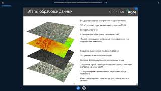
Методика комплексного использования материалов ДЗЗ на примере ПО ГИС Спутник - Часть I
Освойте комплексное использование данных дистанционного зондирования Земли с помощью ГИС Спутник в этом практическом руководстве.
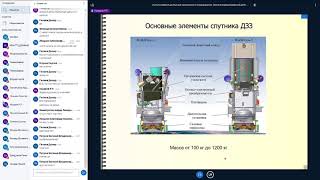
Работа с материалами ДЗЗ из космоса - Часть I
Освойте основы дистанционного зондирования Земли из космоса и научитесь работать с полученными данными в первой части курса.
Системы координат, применяемые в изысканиях и строительстве
Изучите системы координат, используемые в инженерных изысканиях и строительстве, для эффективного проектирования и реализации строительных проектов.
Методика комплексного использования материалов ДЗЗ на примере ПО ГИС Спутник - Часть II
Освойте комплексное использование данных дистанционного зондирования Земли с помощью ГИС Спутник в практическом видеоуроке.
Современное программное обеспечение для обработки геодезических измерений - Часть III
Изучите современные методы обработки геодезических данных с использованием специализированного программного обеспечения. Углубите знания в области геодезических измерений.
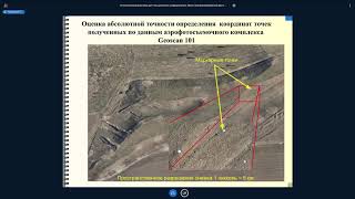
Основы фотограмметрии для работы с материалами аэрофотосъемки - Часть II
Изучите основы фотограмметрии и обработки данных аэрофотосъемки для эффективного применения в геодезии и картографии.
Работа с материалами ДЗЗ из космоса - Часть 2
Освойте передовые методы обработки и анализа космических снимков для решения практических задач дистанционного зондирования Земли.
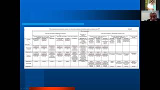
Комплексный анализ данных дистанционных зондирований и космогеологических исследований - Часть I
Изучите методы комплексного анализа данных дистанционного зондирования и космогеологических исследований для эффективного применения в геологии.
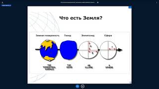
Системы координат, применяемые в геодезии, изысканиях и строительстве
Изучите системы координат, используемые в геодезии, изысканиях и строительстве, для эффективного применения в профессиональной деятельности.
QGIS Essentials for Water Modelling
Learn essential QGIS tools for water modelling, including PCRaster plugin, flow direction styling, and catchment map creation. Gain practical skills through live demonstrations and expert insights.
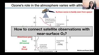
Application of Satellite Data in GeoHealth Studies
Explore satellite data applications in GeoHealth with early career scientists, focusing on innovative research methods and real-world implications for environmental and health studies.