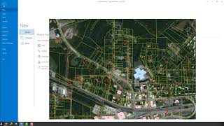
Editing Data with ArcGIS Pro
Learn essential data editing techniques in ArcGIS Pro, including feature templates, creating new features, merging, reshaping, and vertex editing for efficient geospatial data management.
ArcGIS Pro
Learn ArcGIS Pro through comprehensive tutorials covering installation, data editing, 3D mapping, and migration from ArcMap. Master essential tools and techniques for effective geospatial analysis and cartography.
ArcGIS
Learn essential ArcGIS skills: create shapefiles, digitize, edit, join data, perform buffer analysis, select features, classify land use, and calculate areas using various satellite imagery.

ArcGIS Online
Take a tour of ArcGIS Online and learn how to harness the power of geography across your organization.
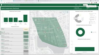
ArcGIS Solutions for Emergency Management
Emergency response requires organizations to share and update information as quickly as possible, sometimes in real-time. See the GIS tools that make it possible.
ArcGIS Solutions for Government - Meet Ups
Comprehensive tutorials and tips for GIS users in state and local government.
ArcGIS Living Atlas of the World
ArcGIS Living Atlas of the World is the foremost collection of geographic information from around the globe. It includes maps, apps, and data layers to support your work.
ArcGIS Business Analyst
Powerful market analysis tool combining demographic data, spatial analytics, and visualization for smarter business decisions. Includes global data, customizable reports, and integration with ArcGIS platform for comprehensive location intelligence.
Python et ArcMap
Découvrez l'automatisation des geoprocess avec arcpy et le calculateur de champs dans ArcGIS pour optimiser vos flux de travail en géomatique.
ArcGIS Tutorial in Bangla
ArcGIS is a family of client, server and online geographic information system software developed and maintained by Esri. Learn the basics of mapping and spatial analysis in ArcGIS in these videos in Bengali.
ARCGIS
ArcGIS is a family of client, server and online geographic information system software developed and maintained by Esri. Learn the basics of ArcGIS with exercises in these videos in Telugu
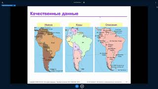
ArcGIS Desktop II: Инструменты и функциональность - Часть III
Изучите продвинутые инструменты и функциональность ArcGIS Desktop для эффективной работы с геоданными и создания качественных картографических материалов.
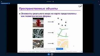
ArcGIS Desktop II: Инструменты и функциональность - Часть II
Изучите продвинутые инструменты и функциональность ArcGIS Desktop для эффективного анализа и визуализации геопространственных данных.
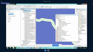
ArcGIS Desktop III - Рабочие процессы и анализ - Часть III
Изучите продвинутые рабочие процессы и методы анализа в ArcGIS Desktop для улучшения геопространственных проектов и принятия решений.
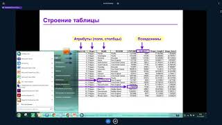
ArcGIS Desktop II: Инструменты и функциональность - Часть VIII
Изучите инструменты и функциональность ArcGIS Desktop II для эффективной работы с геоинформационными системами.
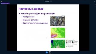
ArcGIS Desktop II: Инструменты и функциональность - Часть VI
Изучите инструменты и функциональность ArcGIS Desktop II для эффективной работы с геоинформационными системами.
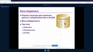
ArcGIS Desktop III: Рабочие процессы и анализ - Часть I
Освойте продвинутые рабочие процессы и методы анализа в ArcGIS Desktop для эффективной обработки и визуализации геопространственных данных.
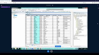
ArcGIS Desktop II: Инструменты и функциональность - Часть VI
Изучите инструменты и функциональность ArcGIS Desktop II для эффективной работы с геоданными и создания картографических проектов.
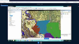
ArcGIS Desktop III - Рабочие процессы и анализ - Часть II
Изучите продвинутые рабочие процессы и методы анализа в ArcGIS Desktop для улучшения геопространственных проектов и принятия решений.
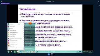
ArcGIS Desktop II: Инструменты и функциональность - Часть V
Изучите инструменты и функциональность ArcGIS Desktop II для эффективной работы с геоинформационными системами.

Extending ArcObjects - Getting Started
Introduction to ArcObjects programming in ArcMap. Learn to set up a development environment, create a toolbar with a custom command, and interact with the IApplication interface.