Sensing the Whole - Big Data, Big Indicators and the Future of Planetary Health
Explore emerging tools like satellite imagery and analytics that reveal complex relationships between people and the planet, enabling new approaches to planetary health and social wellbeing.
How Researchers Can Turbocharge Investigative Journalism
Explore how AI and digital information revolutionize investigative journalism, exposing wrongdoing and debunking disinformation through landmark case studies and cutting-edge techniques.
Building a Spacetech Startup from India
Explore the journey of building a spacetech startup in India, from identifying market gaps to leveraging satellite data for innovative solutions across various sectors.

Glacial Mars and Its Morphological Mysteries
Explore Mars' glacial landscapes, recent ice history, and morphological mysteries. Dr. Frances Butcher discusses glaciation, meltwater, and intriguing features like eskers and inverted channels on the Red Planet.
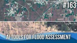
AI Tools for Flood Assessment and Modeling
Explore cutting-edge AI tools for flood assessment and modeling, including rapid analysis of dam breaches, satellite imagery interpretation, and GIS plugins for efficient flood mapping and impact prediction.
Attributing Mountain Glacier Retreat to Climate Change
New method for assessing glacier retreat and its link to climate change. Researchers present findings on individual glacier changes and their implications for freshwater sources and climate indicators.
Interpretation from Space: Salt Tectonics and Deposition in Iran Using Remote-Sensing Imagery
Explore salt tectonics and deposition in Iran through remote-sensing imagery, revealing unique geological structures and modern depositional systems as analogs for ancient formations.
Advance Deep Learning Workshop for Satellite Imagery - Model Export & Production
Hands-on workshop on advanced deep learning techniques for satellite imagery, covering remote debugging, model deployment, activation heatmaps, and custom predictions using TensorFlow and Keras.
Targeting Humanitarian Aid with Machine Learning and Digital Data
Explore how machine learning and digital data can enhance humanitarian aid targeting in low-income countries, improving accuracy and addressing challenges in poverty assessment.

Help Discover Ancient Ruins - Before It's Too Late
Sarah Parcak introduces space archaeology, using satellites to uncover ancient treasures. She discusses the vast potential for discovery and presents GlobalXplorer, an online platform enabling anyone to participate in archaeological exploration.
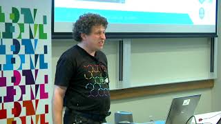
Open Source Tools for Publishing and Processing Earth Observation Imagery
Explore open-source tools for accessing and processing satellite imagery data, focusing on Digital Earth Australia and Open Data Cube platforms for government, industry, and research applications.

Integration, Data Sharing, Opensource, and the Agtech Startup Ecosystem
Exploring agtech's potential in Australia: challenges, open data standards, and the importance of interoperability for farmers and developers in the agricultural technology ecosystem.
Eroding Coastlines - A Geospatial & Computer Vision Analysis
Explore satellite imagery and Python tools for geospatial analysis to identify and analyze coastal erosion, addressing a critical environmental and humanitarian challenge.
Predicting Urban Heat Islands in Calgary
Learn to predict urban heat islands using satellite imagery and geospatial Python libraries. Explore spatial regression methods, data processing, and visualization techniques for sustainable urban planning.
Saving Lives with Predictive Geo - AI
Explore geospatial Python libraries for Multi-Criteria Decision making, including imagery dataset processing, overlay analysis, and zonal statistics. Learn to create intuitive geo-visualization portals using vector tiles.
An Inside Look at NASA's SpaceML Worldview Search
Explore NASA's SpaceML Worldview Search with insights from Machine Learning Lead Anirudh Koul, covering innovative applications in space exploration and data analysis.
What AI Can See From Space Is Troubling
Explore the capabilities of Sentient, a top-secret AI system using satellite data to make global predictions, and its potential implications for society and privacy.
Fixing Election Maps Using Street Lamps
Discover innovative techniques using nighttime satellite imagery to correct visual bias in election mapping and gain insights into spatial data science.

Using Machine Learning to Predict Weather and Climate Risk
Explore machine learning techniques for weather prediction and climate risk analysis using neural networks, satellite imagery, and Google Cloud tools.
Forecasting the Future with EarthPT
Explore EarthPT, an open-source Earth Observation pretrained transformer. Learn about its capabilities in predicting surface reflectances, vegetation indices, and potential applications in land use classification and crop yield forecasting.
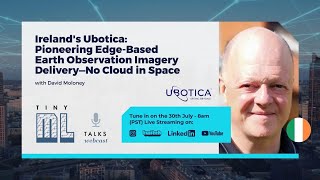
Ireland's Ubotica - Pioneering Edge-Based Earth Observation Imagery Delivery
Transforming Earth Observation: Ubotica's edge-based model delivers imagery updates to user handsets in minutes, revolutionizing the field with faster, more efficient data consumption.