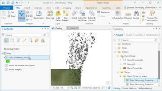
ArcGIS Pro
ArcGIS Pro is desktop GIS software developed by Esri, which replaces their ArcMap software generation. Learn the basics of using ArcGIS such a spatial joins, selections of attributes and layers, raster processing and topograpic analysis in this tutorial…
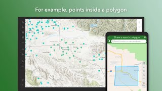
ArcGIS Survey123
Learn to create, share, and analyze smart surveys with ArcGIS Survey123. Master form creation, data collection, and result analysis for streamlined projects across various industries.
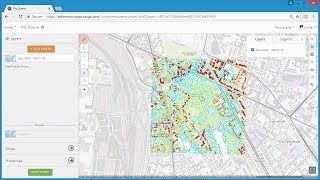
3D GIS
Explore 3D GIS techniques using ArcGIS, including point cloud and scene layers, web scenes, and 3D web GIS applications in ArcGIS Online and Web AppBuilder.
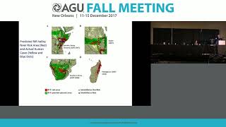
Public Health Applications of Remote Sensing
Explore remote sensing applications in public health, including disease prediction models, risk mapping, and vector-borne disease surveillance using satellite data and geospatial technologies.
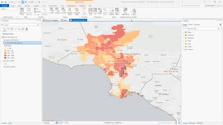
ArcGIS Pro Intelligence
Explore advanced geospatial analysis for intelligence professionals using ArcGIS Pro Intelligence. Learn to uncover patterns, conduct link analysis, and visualize data on timelines and 2D/3D maps for informed decision-making.
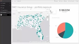
ArcGIS Maps for Power BI
ArcGIS Maps for Power BI offers enhanced mapping and analysis capabilities, demographic data, and compelling visualizations.
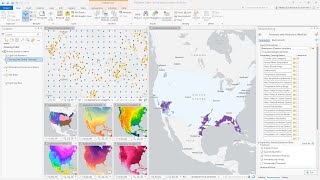
ArcGIS Pro
ArcGIS Pro is Esri’s powerful, single desktop GIS application. Technologically ahead of everything else on the market, ArcGIS Pro supports data visualization, advanced analysis and authoritative data maintenance in both 2D and 3D.
ArcGIS API for JavaScript
Video tutorials and walkthroughs for the ArcGIS API for JavaScript. Once you have finished this series, you will be well on your way to making your own web maps, adding advanced functionality, and writing custom code to meet the needs of your application…
Political Geometry - The Mathematics of Redistricting
Explore mathematical approaches to redistricting, examining how models can improve the process and address challenges in voting rights, representation, and fair electoral boundaries.

Global Climate and the Coriolis Force - Lecture 13
Explore Earth's atmospheric circulation, Coriolis force, and geostrophic balance. Understand climate dynamics, cloud patterns, and the impact of Earth's rotation on global weather systems.

Introduction to Atmospheres - Earth's Climate System
Explore Earth's climate system through atmospheric and oceanic studies, with a focus on Hurricane Irene's impact and the fundamental nature of our atmosphere.
The Science of Cities: Defining Size, Shape, Scale and Performance Using Percolation Theory
Exploring how city size impacts shape and performance using percolation theory, challenging the notion that bigger cities are always better through innovative spatial analysis methods.
Can Citizen Science Save the World? - Many Hands in Scientific Research
Explore the impact of citizen science projects, including coastal monitoring, and their potential to revolutionize scientific research and environmental conservation efforts.
Water Security Series - Sensing and Analytics for Precision Irrigation
Explore precision irrigation technologies, their benefits, adoption barriers, and real-world applications in this insightful webinar on improving water efficiency in agriculture.
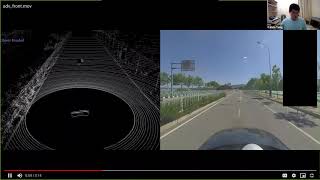
Trust Region Based Adversarial Attack on Neural Networks
Explore trust region optimization for adversarial attacks on neural networks, covering various attack methods and their applications in computer vision and object detection.
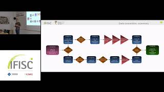
Segregation in Urban Systems and Mobility
Explore urban segregation patterns and their impact on mobility systems, analyzing complex interactions between social dynamics and city structures.
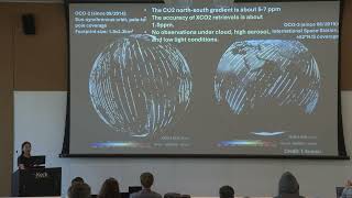
Maximizing the Role of Atmospheric CO2 Observations in Carbon Cycle Science and Carbon-Climate Policy
Explore the impact of atmospheric CO2 observations on carbon cycle science and climate policy with NASA JPL expert Junjie Liu.
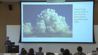
Plot to Continent: Reflections from Studying the Terrestrial Carbon Cycle at Multiple Scales
Explore the terrestrial carbon cycle across scales, from plot to continent, with insights from Ken Davis's research at Pennsylvania State University.
Observing Meteorology Across Scales
Dive into meteorology across scales with NASA JPL expert Derek Posselt in this Keck Institute for Space Studies short course on quantifying greenhouse gas emissions and transport.
Estimating Fluxes in the Carbon Cycle
Dive into estimating fluxes in the carbon cycle with insights from Anna Michalak's talk at the Keck Institute for Space Studies short course on quantifying emissions.
Enabling Spectral Indices Computation with SpectralIndices.jl
Explore SpectralIndices.jl, a Julia package simplifying spectral indices computation in remote sensing. Learn its features, data compatibility, and user-friendly interface for efficient Earth system research analysis.