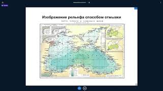
Разграфка и Номенклатура Листов Карт
Изучите систему разграфки и номенклатуры топографических карт, их масштабный ряд и принципы обозначения.
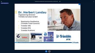
Современные геодезические технологии в изысканиях и строительстве
Освойте передовые геодезические методы для инженерных изысканий и строительства, повышая точность и эффективность проектов.
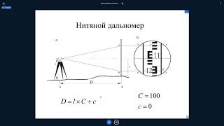
Геодезические Сети и Государственная Геодезическая Сеть (ГГС) - Методы Создания
Изучите методы создания и структуру государственной геодезической сети, ключевой основы для картографирования и геодезических работ.

Технология Использования Съемки в Режиме Кинематика (ППК) - Часть II
Освойте технологию съемки в режиме кинематика (ППК) для повышения точности и эффективности геодезических работ.
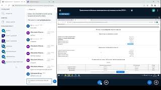
Применение глобальных навигационных систем - 06.04.2022
Изучите применение глобальных навигационных систем для повышения эффективности в геологии и нефтегазовых технологиях. Освойте современные методы и инструменты.
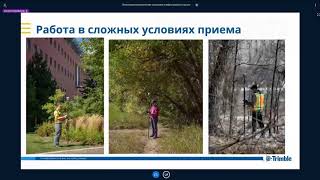
Современные геодезические технологии Тримбл для изысканий в нефтегазовой отрасли
Освойте передовые геодезические технологии Trimble для проведения изысканий в нефтегазовой сфере, повышая эффективность и точность работ.
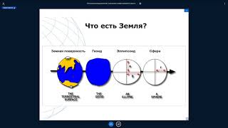
Системы координат, применяемые в геодезии, изысканиях и строительстве
Изучите системы координат, используемые в геодезии, изысканиях и строительстве, для эффективного применения в профессиональной деятельности.
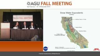
California's Epic Drought as Viewed from Space - Fall 2014
Explore California's severe drought through space-based observations, examining water storage, groundwater depletion, and snowpack changes using advanced geodetic sensors and satellite data.
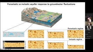
Geodetic Insights into Water-driven Aquifer and Ice Sheet Dynamics
Explore geodetic techniques for monitoring aquifer systems and ice sheet dynamics, focusing on groundwater fluctuations, subsidence, and meltwater impacts on Greenland's ice sheet.
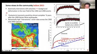
Hunting for Tectonic and Climatic Signals in GPS Position Time Series
Explore techniques for detecting tectonic and climatic signals in GPS position data, enhancing understanding of Earth's dynamic processes and environmental changes.
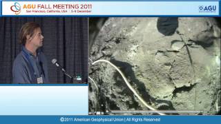
Surveillance of Volcanic Unrest - New Developments in Multidisciplinary Monitoring Methods
Explore cutting-edge multidisciplinary monitoring methods for detecting volcanic unrest, enhancing our ability to predict and mitigate potential eruptions.
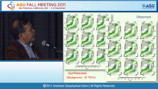
GPS Array as a Sensor of Lithosphere, Troposphere and Ionosphere
Explore how GPS arrays serve as powerful sensors for studying Earth's lithosphere, troposphere, and ionosphere in this insightful lecture by Kosuke Heki from Hokkaido University.
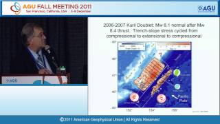
Great Earthquake Ruptures in the Age of Seismo-Geodesy - Gutenberg Lecture
Explore seismo-geodesy's impact on understanding great earthquake ruptures. Gain insights into cutting-edge research and advancements in earthquake science from a leading expert.
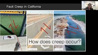
Along-strike Propagation of Shallow Creep Events from High-Resolution Space Geodetic Observations
Explore high-resolution space geodetic observations to understand the along-strike propagation of shallow creep events in fault systems, enhancing earthquake prediction capabilities.
The World Needs More Geodesists - Growing and Broadening the Geodesy Workforce
Explore the critical need for geodesists, their impact on various industries, and innovative strategies to attract and train a diverse workforce in this essential field of Earth science.
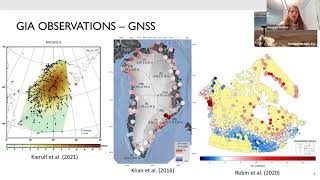
Models of Glacial Isostatic Adjustment and Their Use in Geodesy and Tectonics
Explore models of glacial isostatic adjustment and their applications in geodesy and tectonics, enhancing understanding of Earth's dynamic response to past ice sheet changes.
The William Bowie Lecture - Geodesy and Geophysics Advancements
Explore geodesy's frontiers in this premier AGU lecture, honoring William Bowie's legacy. Discover cutting-edge research, from Earth's dynamics to planetary exploration, presented by leading experts in geophysics and spatial sciences.
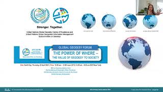
The World Needs More Geodesists
Explore the critical role of geodesists in measuring and understanding Earth's shape, gravity field, and rotation, and learn about exciting career opportunities in this field.
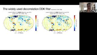
Geodetic Signature of Continental Hydrology
Explore geodetic techniques for studying continental hydrology, including GRACE missions, data filtering methods, and applications to aquifer systems and groundwater monitoring.
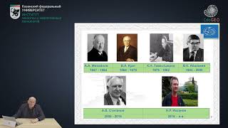
Малый Пулковский базис и его связь с градусными измерениями
Изучите связь Малого Пулковского базиса с градусными измерениями и его значение в военной топографии. Повысьте свои навыки в геодезии и картографии.
Технология Использования Съемки в Режиме Кинематика (ППК) - Часть I
Изучите технологию съемки в режиме кинематика (ППК) для геодезических работ. Освойте основы и принципы применения этого метода в полевых условиях.