Power Conservation and Tellegen's Theorem - Lecture 1.3
Explore power conservation principles and Tellegen's Theorem in electrical engineering, gaining insights into energy flow in circuits.
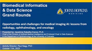
Opportunities and Challenges for Imaging AI Informatics - Grand Rounds 10/11/23
Explore opportunities and challenges in medical imaging AI with Dr. Jayashree Kalpathy-Cramer. Gain insights into healthcare informatics, precision medicine, and data analytics in this informative presentation.
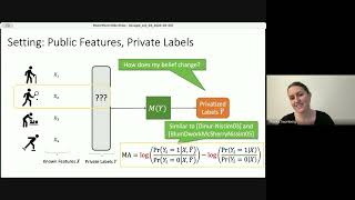
A Unified Analysis of Label Inference Attacks
Explore privacy implications of attribution reporting methods through label inference measures. Gain insights into adversary modeling and risk-accuracy tradeoffs in data privacy.
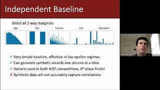
Marginal-based Methods for Differentially Private Synthetic Data - Differential Privacy for ML Series
Explore marginal-based methods for generating differentially private synthetic data, covering mechanisms, selection algorithms, and empirical findings.
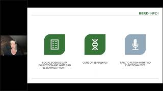
Unlocking Unstructured Data - Opportunities and Challenges in Social Sciences
Explore how BERD@NFDI program addresses challenges in accessing unstructured data for social sciences, driving innovation at the intersection of AI and social research.
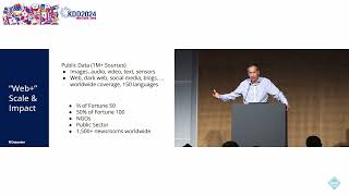
From Lab to Production: Scaling AI for Critical Real-Time Applications
Explore scaling AI for critical real-time applications, from lab to production. Gain insights on building and leading AI teams for impactful products across various industries.
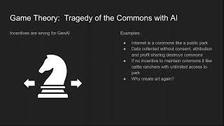
Broken Economic Models in Tech That Hurt Humans at Scale
Explore how surveillance capitalism and current economic models in tech threaten human rights and societal well-being. Learn about potential solutions and actions to prioritize human welfare.
Adding AI to Your ESP32 - Machine Learning and Object Detection
Explore machine learning on ESP32: object detection, image recognition, keyword spotting, time series data, and LLMs. Learn to implement AI using EdgeImpulse and Google TensorFlow Lite for Microcontrollers.
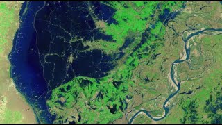
Mapping the 2022 Indus Valley Flood Using ProRaster Scientific - Pakistan
Map the 2022 Indus Valley Flood using ProRaster Scientific. Learn to process satellite imagery, create custom water indices, and integrate multi-temporal data for comprehensive flood extent analysis.
NDVI Analysis and Biomass Proxy Calculation for Coorabulka Station Using ProRaster Scientific
Perform real-time vegetation change analysis using ProRaster Scientific 2.2.03. Process Landsat imagery, compute NDVI, transform data, and visualize results for Coorabulka Station over 10 years.
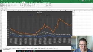
NDVI Analysis for Vegetation Change at Coorabulka Station - Part 6
Analyze temporal vegetation statistics using Excel, interpret graphs, and create a biomass proxy measure for Coorabulka Station's carrying capacity assessment.
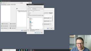
NDVI Analysis and Product Processing in ProRaster Scientific - Part 4
Aprenda a construir cascatas de processamento de produtos para calcular NDVI, recortar polígonos e computar estatísticas temporais usando ProRaster Scientific para análise de vegetação.
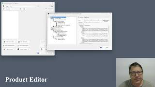
The Multispectral Product Editor in ProRaster Scientific - Tutorial
Explore virtual processing cascades for multispectral satellite imagery using ProRaster Scientific's product editor. Master operations, execution control, and advanced features for efficient data analysis.
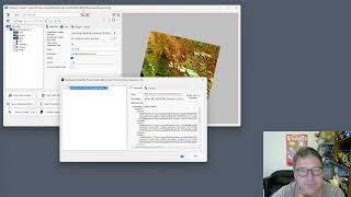
Wooroloo Fire Scar Analysis Using ProRaster Scientific
Analyze Wooroloo fire scar using Landsat data, ProRaster Scientific software, and advanced geospatial techniques. Learn to create scene sequences, compute indices, and generate statistics.
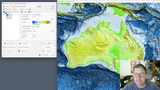
GEBCO 2023 Gridded Bathymetry Data Processing in ProRaster Scientific
Explore GEBCO 2023 bathymetry data using ProRaster Scientific. Learn to create raster sources, join operations, and export to MRR format. Visualize sea level changes and paleo-topography.
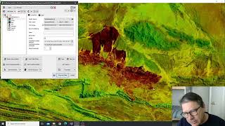
Tjoritja Fire Scar Analysis Using ProRaster Scientific
Analyze Tjoritja fire scar using Landsat imagery and ProRaster Scientific. Learn to build branched processing chains, compare indices, and create final map renderings.
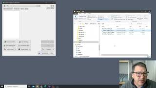
Working with Spot7 Multispectral Satellite Data in ProRaster Scientific
Manually import and analyze Spot7 multispectral satellite data in ProRaster Scientific for vegetation studies using high-resolution spectral bands and NDVI rendering techniques.
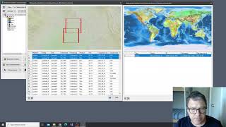
Building Mosaics and Collated Mosaic Sequences for NDVI Analysis - Part 2
Aprenda a criar mosaicos e sequências de mosaicos colados usando ProRaster Scientific para análise de vegetação em Coorabulka Station, Queensland, ao longo de um ano.
Opportunities from Social Media Data for Public Health
Explore social media's potential in public health research and interventions. Learn data analysis techniques for extracting valuable health insights from online platforms.
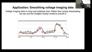
Nuts and Bolts of Modern State Space Models - Part I
Explore state space models for analyzing sequential data, covering foundations, algorithms, and applications using the dynamax library. Learn to uncover latent states in high-dimensional measurements.
Curating a COVID-19 Data Repository and Forecasting County-Level Death Counts in the United States
Explore COVID-19 data curation and forecasting techniques for county-level death counts in the US, including ensemble methods and prediction intervals for informed decision-making.