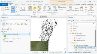
ArcGIS Pro
ArcGIS Pro is desktop GIS software developed by Esri, which replaces their ArcMap software generation. Learn the basics of using ArcGIS such a spatial joins, selections of attributes and layers, raster processing and topograpic analysis in this tutorial…
Engineering Mechanics
In this course, we would be studying mechanical interaction between different bodies when they interact through the forces applied on each other. This would consist of 2 parts: statics and dynamics.
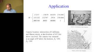
Camera Model and Perspective Projection - Lecture 12
Explore camera models, coordinate systems, and transformations in computer vision. Learn about perspective projection, focal length, and essential concepts for image analysis and 3D reconstruction.
Flight Mechanics
Comprehensive exploration of flight mechanics, covering system dynamics, reference frames, coordinate systems, and advanced topics in aerospace engineering.

Dynamics Course
Master fundamental concepts and problem-solving techniques in dynamics, covering motion analysis, kinematics, and energy principles through practical examples and in-depth lessons.
Multivariable Calculus
Comprehensive video series covering multivariable calculus topics, from domains and vectors to triple integrals and coordinate systems, aligned with an open textbook for active learning.

Shapes and Drawing - p5.js Tutorial
Learn to create shapes and drawings in p5.js, exploring coordinate systems, basic shapes, and drawing functions. Gain hands-on experience with practical coding examples and assignments.
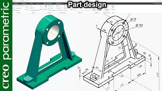
Creo Part Modeling Tutorial
Master Creo Parametric for advanced part modeling, including machine components, tools, and complex geometries. Enhance skills in surfacing, sketching, and specialized techniques.
ARCGIS
ArcGIS is a family of client, server and online geographic information system software developed and maintained by Esri. Learn the basics of ArcGIS with exercises in these videos in Telugu
Обработка Теодолитного Хода и Оценка Точности
Освойте методы обработки теодолитного хода и оценки точности измерений в геодезии. Углубите знания в области геодезических вычислений и анализа данных.
Геодезические засечки, прямая и обратная геодезические задачи, формулы Юнга и Гаусса - Часть II
Изучите геодезические засечки, прямую и обратную задачи, а также формулы Юнга и Гаусса для углубления знаний в геодезии.
Электронный тахеометр - Решение геодезических задач - Часть I
Освойте использование электронного тахеометра для решения геодезических задач в первой части обучающего курса.
Обработка Теодолитного Хода - Часть I
Освойте методы обработки теодолитного хода, включая вычисление координат и углов, для точного геодезического измерения местности.
Геодезические засечки, прямая и обратная геодезические задачи, формулы Юнга и Гаусса - Часть I
Изучите геодезические засечки, прямую и обратную геодезические задачи, а также формулы Юнга и Гаусса для повышения навыков в геодезии.
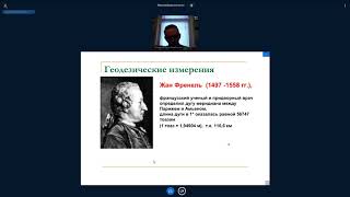
Предмет геодезия - Формы и размеры Земли, Системы координат
Изучите основы геодезии, формы и размеры Земли, а также различные системы координат, используемые в этой области.
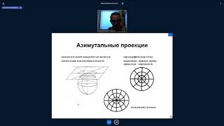
Равноугольная поперечно цилиндрическая проекция Гаусса-Крюгера
Изучите равноугольную поперечно цилиндрическую проекцию Гаусса-Крюгера, ее принципы и применение в картографии и геодезии.

Системы координат, применяемые в изысканиях и строительстве
Изучите системы координат, используемые в инженерных изысканиях и строительстве, для эффективного проектирования и реализации строительных проектов.
Современное программное обеспечение для обработки геодезических измерений - Часть III
Изучите современные методы обработки геодезических данных с использованием специализированного программного обеспечения. Углубите знания в области геодезических измерений.
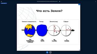
Системы координат, применяемые в геодезии, изысканиях и строительстве
Изучите системы координат, используемые в геодезии, изысканиях и строительстве, для эффективного применения в профессиональной деятельности.
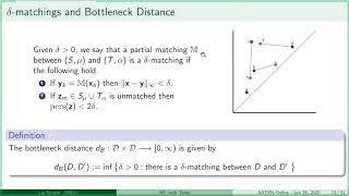
Liz Munch - Featurization of Persistence Diagrams Using Template Functions for ML Tasks
Explore topological data analysis and persistence diagrams for machine learning, focusing on featurization techniques using template functions to map complex data into Euclidean space.
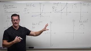
Graphing Exponential Functions with Transformations - Precalculus College Algebra
Learn to graph exponential functions using transformations, focusing on identifying key points and asymptotes in shifted locations on coordinate systems for enhanced mathematical understanding.