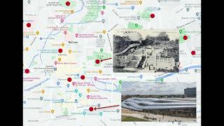
A Linear Program for Points of Interest Relocation in Adaptive Maps
Explore an innovative linear program for relocating points of interest in adaptive maps, enhancing cartographic visualization and user experience.
Herbert Bayer's World Geo-Graphic Atlas - A Conversation with Curators
Explore Herbert Bayer's influential 1953 World Geo-Graphic Atlas through expert insights, examining its impact on map design, scientific illustration, and visual education.
Philippine Fishing Ground
Explore Philippine fishing grounds, including major seas, gulfs, and passages. Learn about territorial boundaries, pelagic zones, and fish distribution in this comprehensive overview.
The Gap in Cartographic Methodology That Hurts Our Communities
Exploring the impact of unequal mapping resources on communities, this talk highlights how disparities in cartographic data collection affect infrastructure, environmental change, and regional planning.
Mapping Narratives: The Power of Indigenous Cartography
Exploración de la cartografía indígena y el poder de los mapas para narrar historias culturales e históricas, revelando perspectivas únicas sobre el espacio y la representación geográfica.
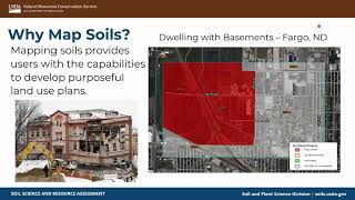
Soil Mapping Techniques with the Natural Resources Conservation Service - Early Career Professionals Series
Explore soil mapping techniques with NRCS soil scientist Sydney Lance, covering her background and work in this informative webinar for students and the public.
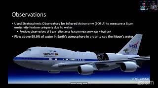
Molecular Water in the Lunar Far South Using 6-Micron Spectral Imaging
Explore SOFIA's lunar water distribution findings, revealing detailed associations with topography and shading in the Moon's far south region.
Terrain Generator: Create Any Terrain in Minutes - Unreal Engine Tutorial
Learn to quickly create custom terrains using Nature Terrain Generator in iClone and export them to Unreal Engine, enabling rapid landscape design for game development and 3D animation projects.
Mapping Imaginary Cities
Explore algorithms and techniques for procedurally generating fictional city maps, including topography, landscape, populations, and street plans. Dive into maps as a creative tool for conveying ideas about space and inhabitants.
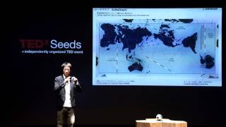
An Endless World Map - Viewing the World Through "Authagraph"
革新的な世界地図「AuthaGraph」の発明:長方形に収まりながら大陸の相対的な大きさを維持。航路、地質学、気象、世界史など多様なテーマに応用可能な新しい世界の見方を提案。
Offensive Cartography
Explore offensive cartography techniques for cybersecurity, including network mapping and vulnerability assessment strategies to enhance penetration testing and security audits.
Cartography - Using Graphs to Improve and Scale Security Decision-Making
Explore Cartography, an open-source tool for visualizing and securing cloud-native assets. Learn how to improve decision-making, track changes, and understand security risks across platforms.
EditBoundary.jl - A Quest to Revive Structured Quad Meshes
Explore algorithms for efficient polygonal approximation in cartography and hydrology, reducing data points while preserving shape for improved visualization and processing in GIS.
Cosmic Map Making - Exploring Similarities Between Cosmic and Everyday Maps
Explore cosmic map making's intricacies and surprising similarities to everyday maps with Prof. Adrian Liu, uncovering the Universe's history and the birth of first-generation stars and galaxies.
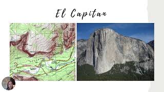
Topographic Maps: An Introduction
Explore topographic maps: learn to read contour lines, interpret elevation, and understand terrain features for navigation and land analysis.
Data Science for the Arts and Humanities
Explore the intersection of data science with humanities and arts, focusing on MapReader software for analyzing maps and images at scale.
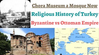
World History by Harshit Dwivedi
Explore Ottoman and Byzantine empires, Erdogan's rule, UAE-Israel relations, Six Day War, and Israel-Iran dynamics. Understand Israel's borders through maps of Gaza Strip, Golan Heights, and West Bank.
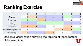
Visualization for Data Science - Creating Maps
Master geographic data visualization techniques and mapping principles for effective data science applications, focusing on creating impactful spatial representations and interactive visualizations.
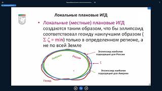
Системы координат при проведении землеустроительных и маркшейдерских работ
Изучите системы координат, применяемые в землеустройстве и маркшейдерии, для точного определения местоположения и проведения геодезических измерений.
Ocean Diffusivity: Stochastic Approaches in Numerical Modeling
Explore stochastic approaches in ocean modeling, including Monte-Carlo methods, perturbed conditions, and stochastic dissipation operators for improved numerical simulations.
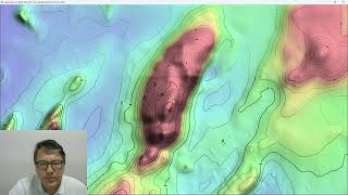
ProRaster Scientific 2.5.01 - Deep Dive into Contouring Features
Master the contouring features in ProRaster Scientific 2.5.01, from basic layer creation to advanced techniques like manual contours, opacity settings, and custom labeling for enhanced geospatial visualization.